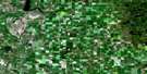
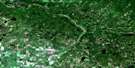
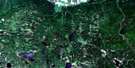
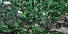
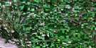
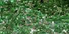
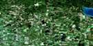
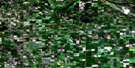
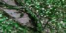
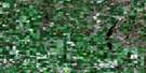
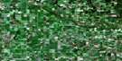
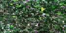
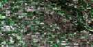
Langenburg Satellite Image Map
Download Free Aerial Photo 062K13 at 1:50,000 scale
Langenburg Satellite Imagery
To view this satellite map, mouse over the air photo on the right.
You can also download this satellite image map for free:
062K13 Langenburg high-resolution satellite image map.
Maps for the Langenburg aerial map sheet 062K13 at 1:50,000 scale are also available in these versions:
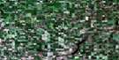
Langenburg Surrounding Area Aerial Photo Maps
 |
 |
 |
 |
 |
 |
 |
 |
 |
 |
 |
 |
 |
 |
 |
© Department of Natural Resources Canada. All rights reserved.
Langenburg Gazetteer
The following places can be found on satellite image map 062K13 Langenburg:
Langenburg Satellite Image: Mountains
German HillGerman Hill
Langenburg Satellite Image: Other municipal/district area - miscellaneous
BoultonChurchbridge No. 211
Langenburg No. 181
Russell
Shellmouth
Shellmouth-Boulton
Langenburg Satellite Image: Conservation areas
Langenburg Recreation SiteLangenburg Satellite Image: Rivers
Assiniboine RiverBell Creek
Blackbird Creek
Cutarm Creek
Deerhorn Creek
Deerhorn Creek
Smith Creek
Smith Creek
Langenburg Satellite Image: Towns
ChurchbridgeLangenburg
Langenburg Satellite Image: Unincorporated areas
Marchwell
© Department of Natural Resources Canada. All rights reserved.
