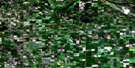
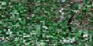
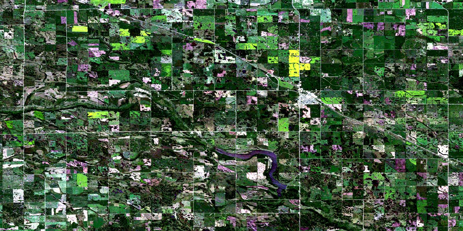
Moosomin Satellite Image Map
Download Free Aerial Photo 062K04 at 1:50,000 scale
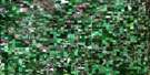
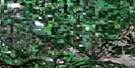
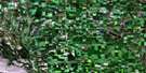
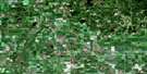
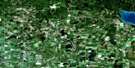
Moosomin Satellite Imagery
To view this satellite map, mouse over the air photo on the right.
You can also download this satellite image map for free:
062K04 Moosomin high-resolution satellite image map.
Maps for the Moosomin aerial map sheet 062K04 at 1:50,000 scale are also available in these versions:
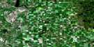
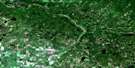
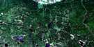
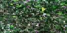
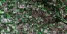
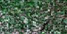
Moosomin Surrounding Area Aerial Photo Maps
 |
 |
 |
 |
 |
 |
 |
 |
 |
 |
 |
 |
 |
 |
 |
© Department of Natural Resources Canada. All rights reserved.
Moosomin Gazetteer
The following places can be found on satellite image map 062K04 Moosomin:
Moosomin Satellite Image: Indian Reserves
Ochapowace 71-12Ochapowace 71-60
Moosomin Satellite Image: Lakes
Moosomin LakeMoosomin Satellite Image: Other municipal/district area - miscellaneous
Martin No. 122Maryfield No. 91
Moosomin No. 121
Walpole No. 92
Moosomin Satellite Image: Conservation areas
Moosomin and District Regional ParkMoosomin Regional Park
Moosomin Satellite Image: Rivers
Bosshill CreekBosshill Creek
Brennand Creek
Brennand Creek
Gopher Creek
Little Pipestone Creek
Niso Creek
Niso Creek
Pipestone Creek
Pipestone Creek
Moosomin Satellite Image: Towns
FlemingMoosomin
Moosomin Satellite Image: Unincorporated areas
CoothillRed Jacket
Rotave
© Department of Natural Resources Canada. All rights reserved.
