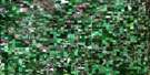
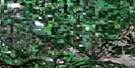
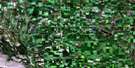
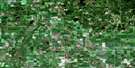
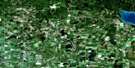
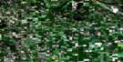
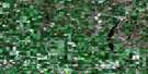
Elphinstone Satellite Image Map
Download Free Aerial Photo 062K09 at 1:50,000 scale
Elphinstone Satellite Imagery
To view this satellite map, mouse over the air photo on the right.
You can also download this satellite image map for free:
062K09 Elphinstone high-resolution satellite image map.
Maps for the Elphinstone aerial map sheet 062K09 at 1:50,000 scale are also available in these versions:
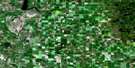
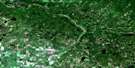
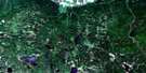
Elphinstone Surrounding Area Aerial Photo Maps
 |
 |
 |
 |
 |
 |
 |
 |
 |
 |
 |
 |
 |
 |
 |
© Department of Natural Resources Canada. All rights reserved.
Elphinstone Gazetteer
The following places can be found on satellite image map 062K09 Elphinstone:
Elphinstone Satellite Image: Indian Reserves
Bottle Lake 61BKeeseekoowenin 61
Rolling River 67
Elphinstone Satellite Image: Lakes
Archies LakeAudy Lake
Battle Lake
Beauford Lake
Beaufort Lake
Birch Lake
Bone Lake
Bonhommes Lake
Bottle Lake
Chipple Lake
Chorney Lake
Christopherson Lake
Clear Lake
Corstorphine Lake
Crawford Lake
Czornyj Lake
Czwaluk Lake
Dummy Lake
Governors Lake
Groszok Lake
Gunville Lake
Horod Lake
Imrie Lake
Jackfish Lake
Labaij Lake
Lake Audy
McAllister Lake
McNaughten Lake
Moroz Lake
Morton Lake
Mossop Lake
Nest Lake
North Thomas Lake
Payne Lake
Pigeon Lake
Plewak Lake
Proven Lake
Puzzle Lake
Pybus Lake
Salt Lake
Sandy Lake
Second Lake
Seech Lake
Shewchuks Lake
Shwaluk Lake
Slater Lake
South Lake
South Thomas Lake
St. Dalmas Lake
Stadnyks Lake
Stuart Lake
Tenth Lake
Third Lake
Thomas Lake
Wargatie Lake
Williamsons Lake
Wolf Lake
Zeller Lake
Elphinstone Satellite Image: Mountains
Riding MountainElphinstone Satellite Image: Other municipal/district area - miscellaneous
HarrisonPark
Strathclair
Elphinstone Satellite Image: Conservation areas
Parc national du Canada du Mont-RidingProven Lake Wildlife Management Area
Riding Mountain National Park of Canada
Elphinstone Satellite Image: Rivers
Bone CreekClear Creek
Heron Creek
Jackfish Creek
Little Saskatchewan River
Minnedosa River
Oak River
Wasamin Creek
Elphinstone Satellite Image: Unincorporated areas
Crawford ParkElphinstone
Glenforsa
Horod
Keeseekoowenin
Lake Audy
Menzie
Rackham
Rogers
Sandy Lake
Seech
Wisla
Elphinstone Satellite Image: Low vegetation
Moulton Meadows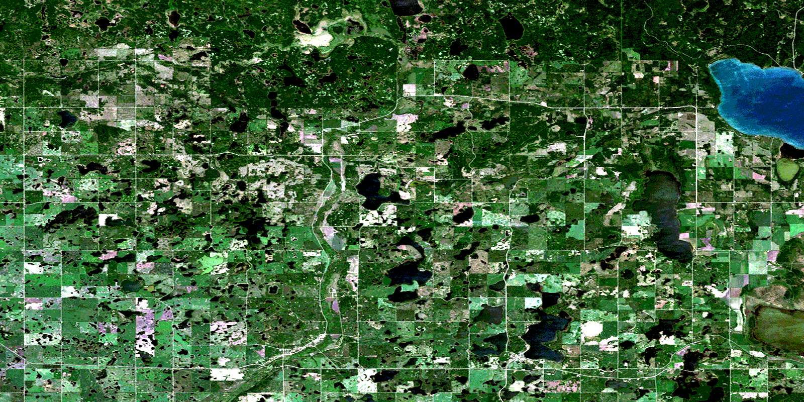
© Department of Natural Resources Canada. All rights reserved.
