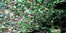
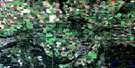
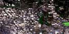
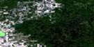
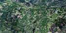
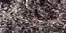
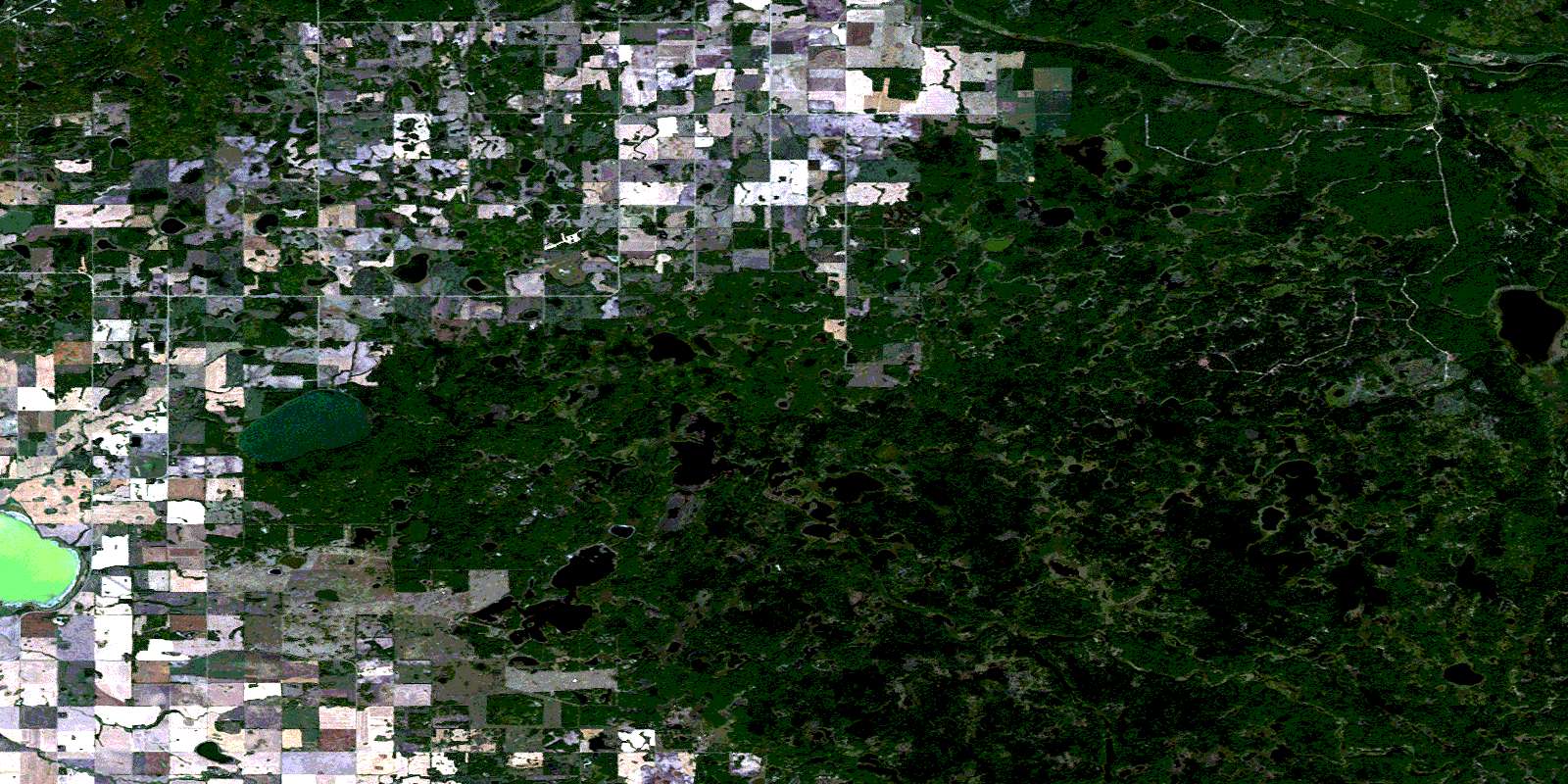
Klogei Lake Satellite Image Map
Download Free Aerial Photo 063D06 at 1:50,000 scale
Klogei Lake Satellite Imagery
To view this satellite map, mouse over the air photo on the right.
You can also download this satellite image map for free:
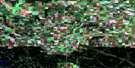
063D06 Klogei Lake high-resolution satellite image map.
Maps for the Klogei Lake aerial map sheet 063D06 at 1:50,000 scale are also available in these versions:
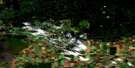
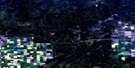
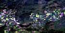
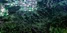
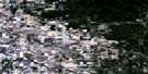
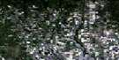
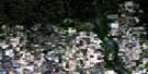
Klogei Lake Surrounding Area Aerial Photo Maps
 |
 |
 |
 |
 |
 |
 |
 |
 |
 |
 |
 |
 |
 |
 |
 |
© Department of Natural Resources Canada. All rights reserved.
Klogei Lake Gazetteer
The following places can be found on satellite image map 063D06 Klogei Lake:
Klogei Lake Satellite Image: Islands
Weldon IslandKlogei Lake Satellite Image: Lakes
Big Valley LakeEnglund Lake
Flat Lake
Greenwater Lake
Hawkins Lake
Johnston's Mill Lake
Kinloch Lake
Klogei Lake
Kotoss Lake
Liggett Lake
Lindeburgh Lake
Little Nut Lake
MacMurchy Lake
McDonald Lake
Noren Lake
Pickel Lake
Piwei Lakes
Rogal Lake
Round Lake
Taylor Lake
Victor Lake
Warner Lake
Weldon Lake
Wells Lake
Windy Lake
Klogei Lake Satellite Image: Mountains
High HillKlogei Lake Satellite Image: Other municipal/district area - miscellaneous
Bjorkdale No. 426Hazel Dell No. 335
Hudson Bay No. 394
Kelvington No. 366
Porcupine No. 395
Klogei Lake Satellite Image: Conservation areas
Greenwater Lake Provincial ParkPorcupine Provincial Forest
Round Lake Recreation Site
Klogei Lake Satellite Image: Rivers
Assiniboine RiverBig Valley Creek
Copeau River
High Hill Creek
Lawson Creek
Mud Creek
Piwei River
Wells Creek
Klogei Lake Satellite Image: Unincorporated areas
FarmingdaleHigh Hill
High Tor
Kinloch
© Department of Natural Resources Canada. All rights reserved.
063D Related Maps:
063D Hudson Bay063D01 Swan Plain
063D02 Endeavour
063D03 Lintlaw
063D04 Kelvington
063D05 Nut Lake
063D06 Klogei Lake
063D07 Reserve
063D08 Mcbride Lake
063D09 Pepaw River
063D10 Weekes
063D11 Porcupine Plain
063D12 Bjorkdale
063D13 Crooked River
063D14 Mistatim
063D15 Prairie River
063D16 Hudson Bay
