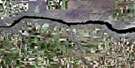
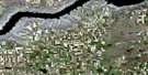
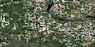
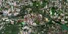
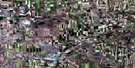
Herbert Satellite Image Map
Download Free Aerial Photo 072J06 at 1:50,000 scale
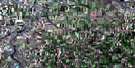
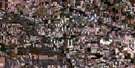
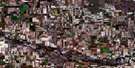
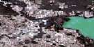
Herbert Satellite Imagery
To view this satellite map, mouse over the air photo on the right.
You can also download this satellite image map for free:
072J06 Herbert high-resolution satellite image map.
Maps for the Herbert aerial map sheet 072J06 at 1:50,000 scale are also available in these versions:
Herbert Surrounding Area Aerial Photo Maps
 |
 |
 |
 |
 |
 |
 |
 |
 |
 |
 |
 |
 |
 |
 |
 |
© Department of Natural Resources Canada. All rights reserved.
Herbert Gazetteer
The following places can be found on satellite image map 072J06 Herbert:
Herbert Satellite Image: Cliffs
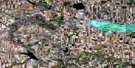
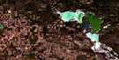
The Missouri CoteauHerbert Satellite Image: Lakes
Handsome LakeHighfield Reservoir
Reed Lake
Rush Lake
Herbert Satellite Image: Other municipal/district area - miscellaneous
Excelsior No. 166Lawtonia No. 135
Morse No. 165
Herbert Satellite Image: Rivers
Lizard CreekMorse Creek
Rushlake Creek
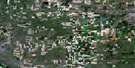
Herbert Satellite Image: Towns
HerbertMorse
Herbert Satellite Image: Unincorporated areas
BurnhamHerbert Satellite Image: Villages
Rush Lake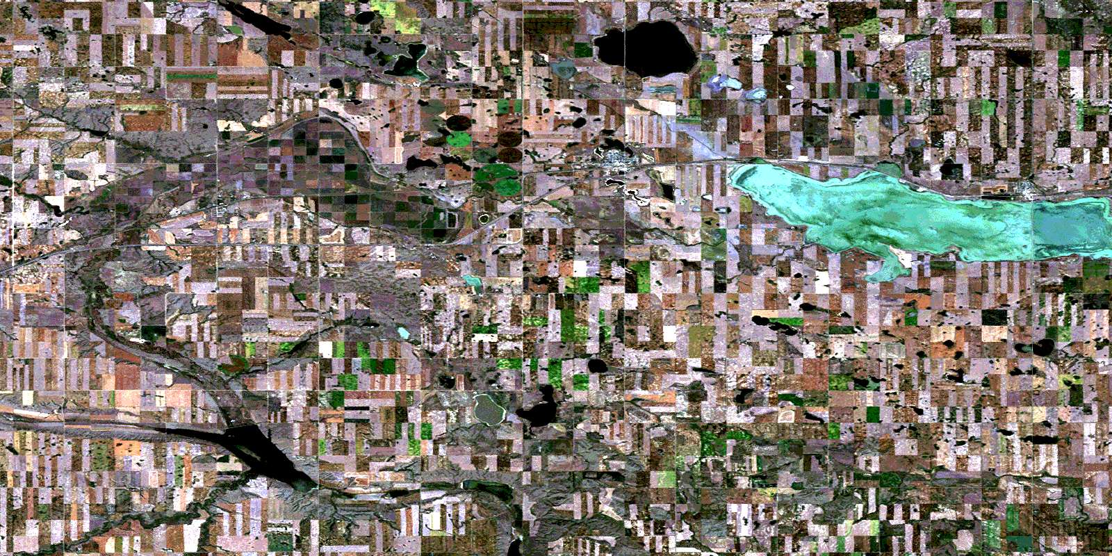
© Department of Natural Resources Canada. All rights reserved.
