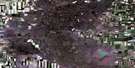
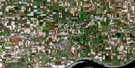
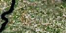
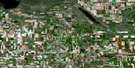
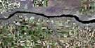
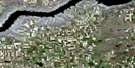
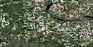
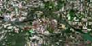
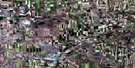
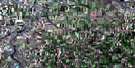
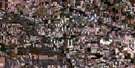
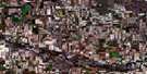
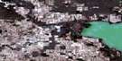
Beechy Satellite Image Map
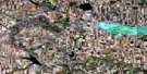
Download Free Aerial Photo 072J14 at 1:50,000 scale
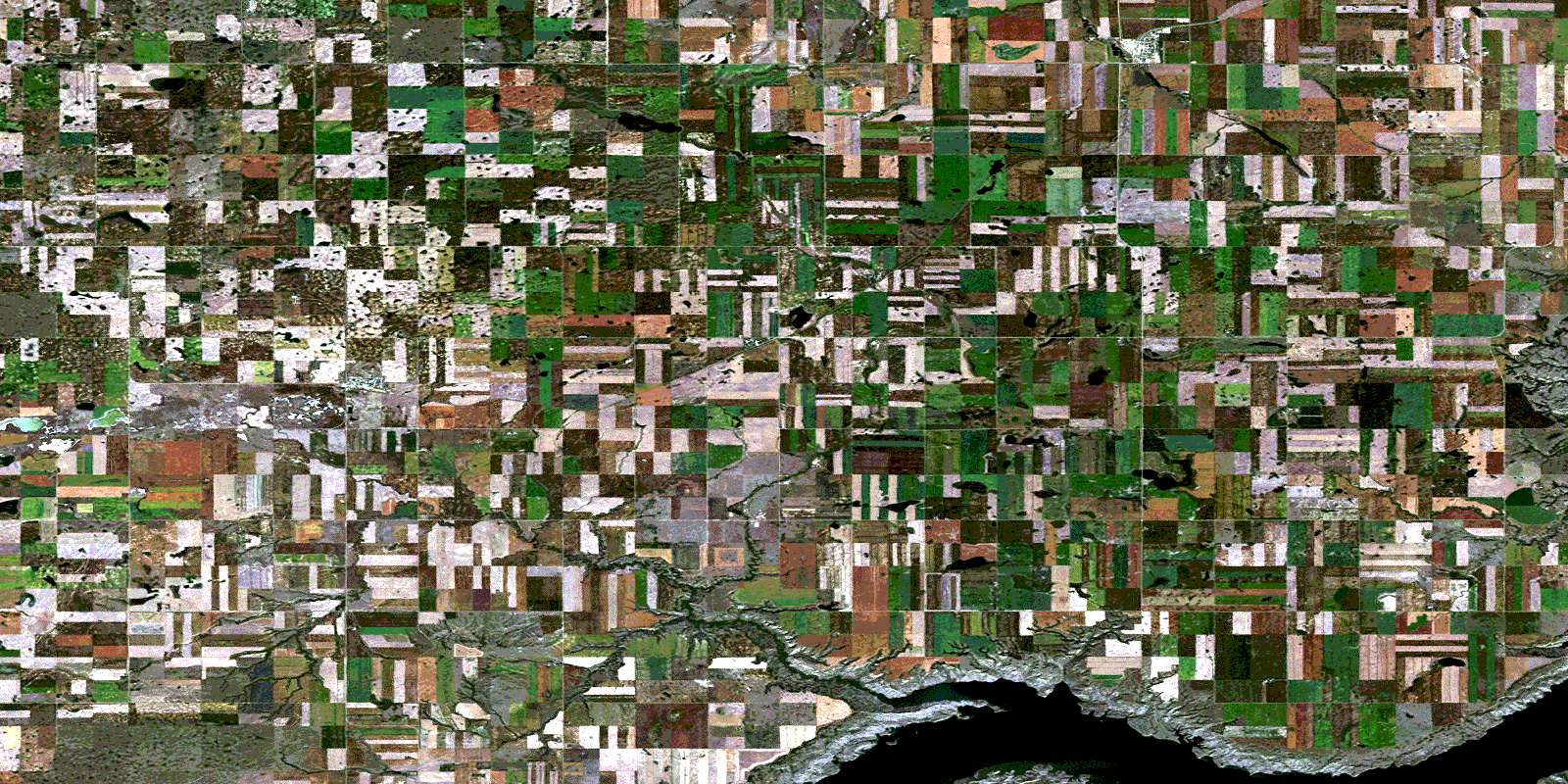
Beechy Satellite Imagery
To view this satellite map, mouse over the air photo on the right.
You can also download this satellite image map for free:
072J14 Beechy high-resolution satellite image map.
Maps for the Beechy aerial map sheet 072J14 at 1:50,000 scale are also available in these versions:
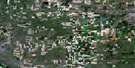
Beechy Surrounding Area Aerial Photo Maps
 |
 |
 |
 |
 |
 |
 |
 |
 |
 |
 |
 |
 |
 |
 |
 |
© Department of Natural Resources Canada. All rights reserved.
Beechy Gazetteer
The following places can be found on satellite image map 072J14 Beechy:
Beechy Satellite Image: Bays
Snakebite BayBeechy Satellite Image: Capes
Bourgeau PeninsulaBeechy Satellite Image: Cliffs
Coteau (The)The Coteau
Beechy Satellite Image: Hamlets
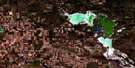
DemaineBeechy Satellite Image: Lakes
Lake DiefenbakerBeechy Satellite Image: Other municipal/district area - miscellaneous
Canaan No. 225Maple Bush No. 224
Morse No. 165
Victory No. 226
Beechy Satellite Image: Conservation areas
Spring Lake Regional ParkBeechy Satellite Image: Rivers
Belhumeur CreekCruikshank Creek
Ostrander Creek
Rivière Saskatchewan Sud
Snakebite Creek
South Saskatchewan River
Trander Creek
Beechy Satellite Image: Unincorporated areas
BernardDudley
Greenbrier
Beechy Satellite Image: Villages
BeechyLucky Lake
© Department of Natural Resources Canada. All rights reserved.
