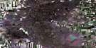
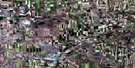
Eyebrow Satellite Image Map
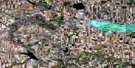
Download Free Aerial Photo 072J16 at 1:50,000 scale
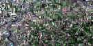
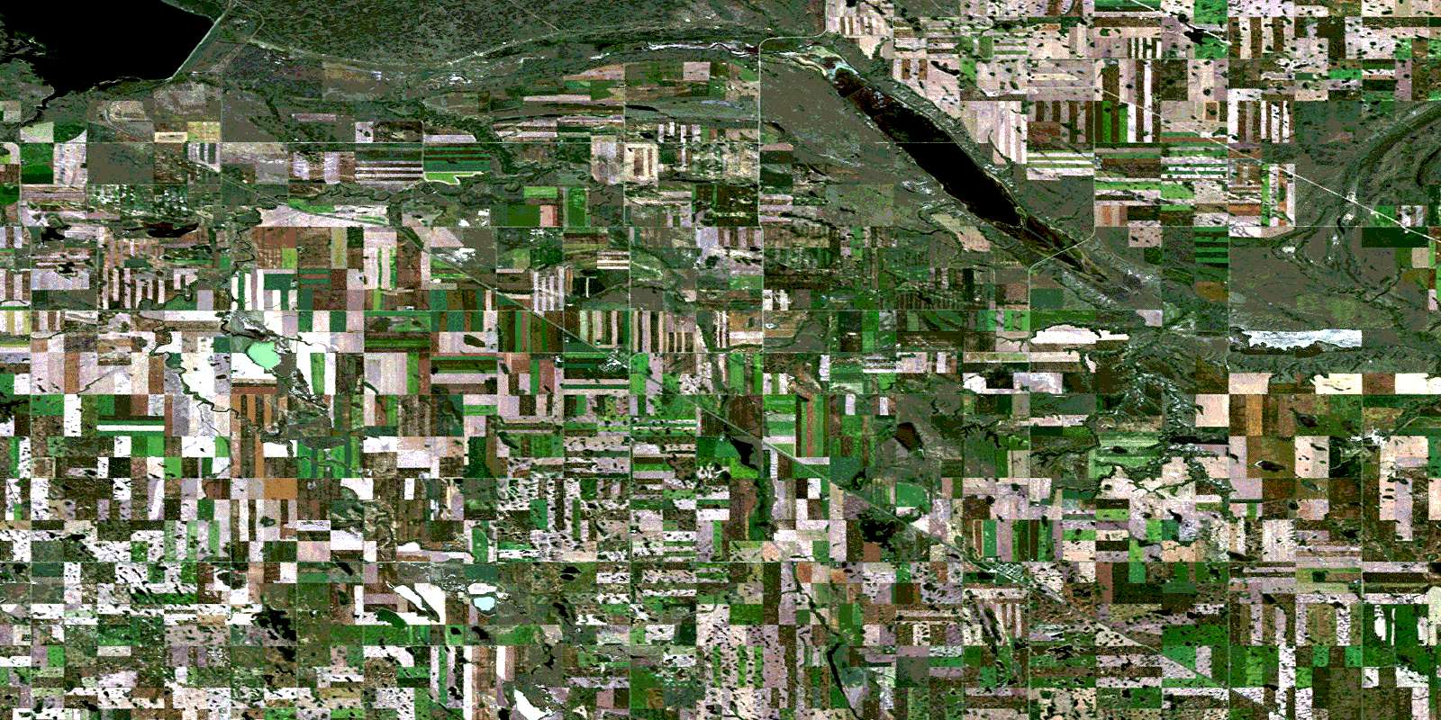
Eyebrow Satellite Imagery
To view this satellite map, mouse over the air photo on the right.
You can also download this satellite image map for free:
072J16 Eyebrow high-resolution satellite image map.
Maps for the Eyebrow aerial map sheet 072J16 at 1:50,000 scale are also available in these versions:
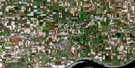
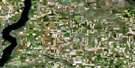
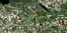
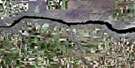
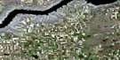
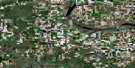
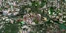
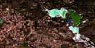
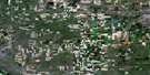
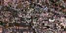
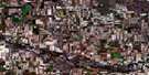
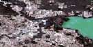
Eyebrow Surrounding Area Aerial Photo Maps
 |
 |
 |
 |
 |
 |
 |
 |
 |
 |
 |
 |
 |
 |
 |
 |
© Department of Natural Resources Canada. All rights reserved.
Eyebrow Gazetteer
The following places can be found on satellite image map 072J16 Eyebrow:
Eyebrow Satellite Image: Bays
Gordon McKenzie ArmEyebrow Satellite Image: Hydraulic construction
Qu'Appelle Valley DamEyebrow Satellite Image: Lakes
Eye LakeEyebrow Lake
Lake Diefenbaker
Eyebrow Satellite Image: Mountains
Eyebrow HillsSand Hills
Eyebrow Satellite Image: Other municipal/district area - miscellaneous
Craik No. 222Enfield No. 194
Eyebrow No. 193
Huron No. 223
Maple Bush No. 224
Marquis No. 191
Eyebrow Satellite Image: Conservation areas
Douglas Provincial ParkNisku Wildlife Refuge
Eyebrow Satellite Image: Rivers
Aiktow CreekDeer Run Creek
Iskwao Creek
Qu'Appelle River
Ridge Creek
Squaw Creek
Eyebrow Satellite Image: Springs
Macdonald SpringEyebrow Satellite Image: Unincorporated areas
BridgefordMawer
Eyebrow Satellite Image: Valleys
Tom Ford's CouleeEyebrow Satellite Image: Villages
EyebrowTugaske
© Department of Natural Resources Canada. All rights reserved.
