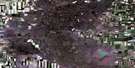
Halvorgate Satellite Image Map
Download Free Aerial Photo 072J10 at 1:50,000 scale
Halvorgate Satellite Imagery
To view this satellite map, mouse over the air photo on the right.
You can also download this satellite image map for free:
072J10 Halvorgate high-resolution satellite image map.
Maps for the Halvorgate aerial map sheet 072J10 at 1:50,000 scale are also available in these versions:
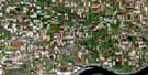
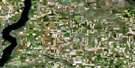
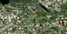
Halvorgate Surrounding Area Aerial Photo Maps
 |
 |
 |
 |
 |
 |
 |
 |
 |
 |
 |
 |
 |
 |
 |
 |
© Department of Natural Resources Canada. All rights reserved.
Halvorgate Gazetteer
The following places can be found on satellite image map 072J10 Halvorgate:
Halvorgate Satellite Image: Cliffs
The Missouri CoteauHalvorgate Satellite Image: Lakes
Cutbank LakeKettlehut Lake
Paysen (Horfield) Lake
Rolling Plains Lake
Halvorgate Satellite Image: Mountains
Shooter HillVermilion Hills
Halvorgate Satellite Image: Other municipal/district area - miscellaneous
Chaplin No. 164Enfield No. 194
Morse No. 165
Vermilion Hills No. 195
Halvorgate Satellite Image: Rivers
Aquadell CreekThunder Creek
Halvorgate Satellite Image: Unincorporated areas
AquadellCalderbank
Halvorgate
Shooter Hill
Thunder Creek
Halvorgate Satellite Image: Valleys
Kerr Coulee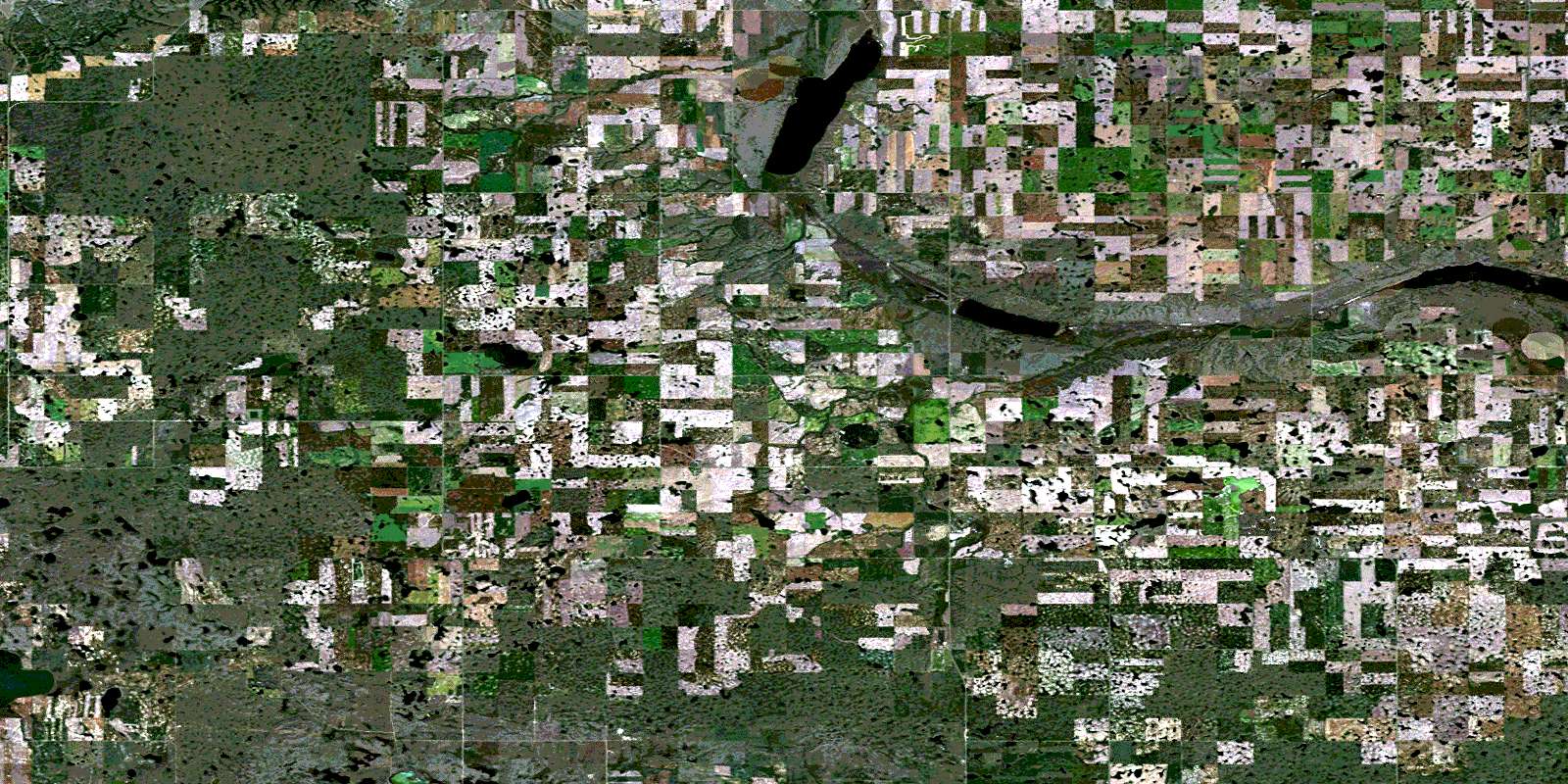
© Department of Natural Resources Canada. All rights reserved.
