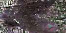
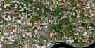
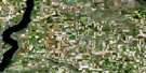
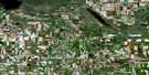
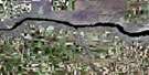
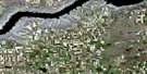
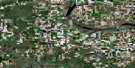
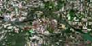
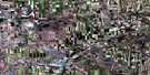
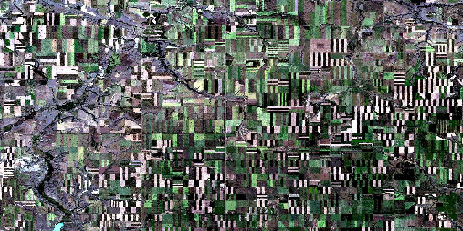
Wymark Satellite Image Map
Download Free Aerial Photo 072J04 at 1:50,000 scale
Wymark Satellite Imagery
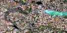
To view this satellite map, mouse over the air photo on the right.
You can also download this satellite image map for free:
072J04 Wymark high-resolution satellite image map.
Maps for the Wymark aerial map sheet 072J04 at 1:50,000 scale are also available in these versions:
Wymark Surrounding Area Aerial Photo Maps
 |
 |
 |
 |
 |
 |
 |
 |
 |
 |
 |
 |
 |
 |
 |
 |
© Department of Natural Resources Canada. All rights reserved.
Wymark Gazetteer
The following places can be found on satellite image map 072J04 Wymark:
Wymark Satellite Image: Hamlets
ChortitzWymark
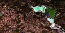
Wymark Satellite Image: Lakes
Doraetta LakeLac Pelletier
Wymark Satellite Image: Other municipal/district area - miscellaneous
Coulee No. 136Swift Current No. 137
Whiska Creek No. 106
Wymark Satellite Image: Rivers
Green CreekPelletier Creek
Rushlake Creek
Swift Current Creek
Wymark Satellite Image: Unincorporated areas
BlumenhofBlumenort
Dunelm
Hak
McMahon
Neuhoffnung
Player
Rheinfeld
Rhineland
Rosengart
Rosenhof
Rosenort
Schantzenfeld
Schoenfeld
Schoenwiese
South Gnadenthal
Springfeld
Wyatt
© Department of Natural Resources Canada. All rights reserved.
