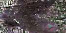
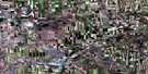
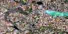
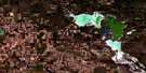
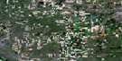
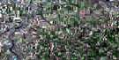
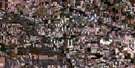
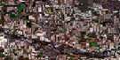
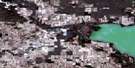
Courval Satellite Image Map
Download Free Aerial Photo 072J01 at 1:50,000 scale
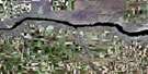
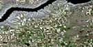
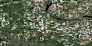
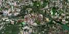
Courval Satellite Imagery
To view this satellite map, mouse over the air photo on the right.
You can also download this satellite image map for free:
072J01 Courval high-resolution satellite image map.
Maps for the Courval aerial map sheet 072J01 at 1:50,000 scale are also available in these versions:
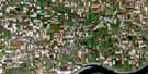
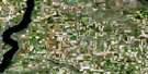
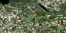
Courval Surrounding Area Aerial Photo Maps
 |
 |
 |
 |
 |
 |
 |
 |
 |
 |
 |
 |
 |
 |
 |
 |
© Department of Natural Resources Canada. All rights reserved.
Courval Gazetteer
The following places can be found on satellite image map 072J01 Courval:
Courval Satellite Image: Cliffs
The Missouri CoteauCourval Satellite Image: Hamlets
CourvalCourval Satellite Image: Lakes
Old Wives LakeCourval Satellite Image: Other municipal/district area - miscellaneous
Gravelbourg No. 104Hillsborough No. 132
Lake Johnston No. 102
Rodgers No. 133
Shamrock No. 134
Sutton No. 103
Courval Satellite Image: Conservation areas
Old Wives Lake Bird SanctuaryRefuge d'oiseaux du lac Old Wives
Shamrock Regional Park
Courval Satellite Image: Rivers
Chaplin CreekNotukeu Creek
Wood River
Courval Satellite Image: Unincorporated areas
AdaLake Johnstone
Old Wives
Rodgers
Wood River
Courval Satellite Image: Villages
Coderre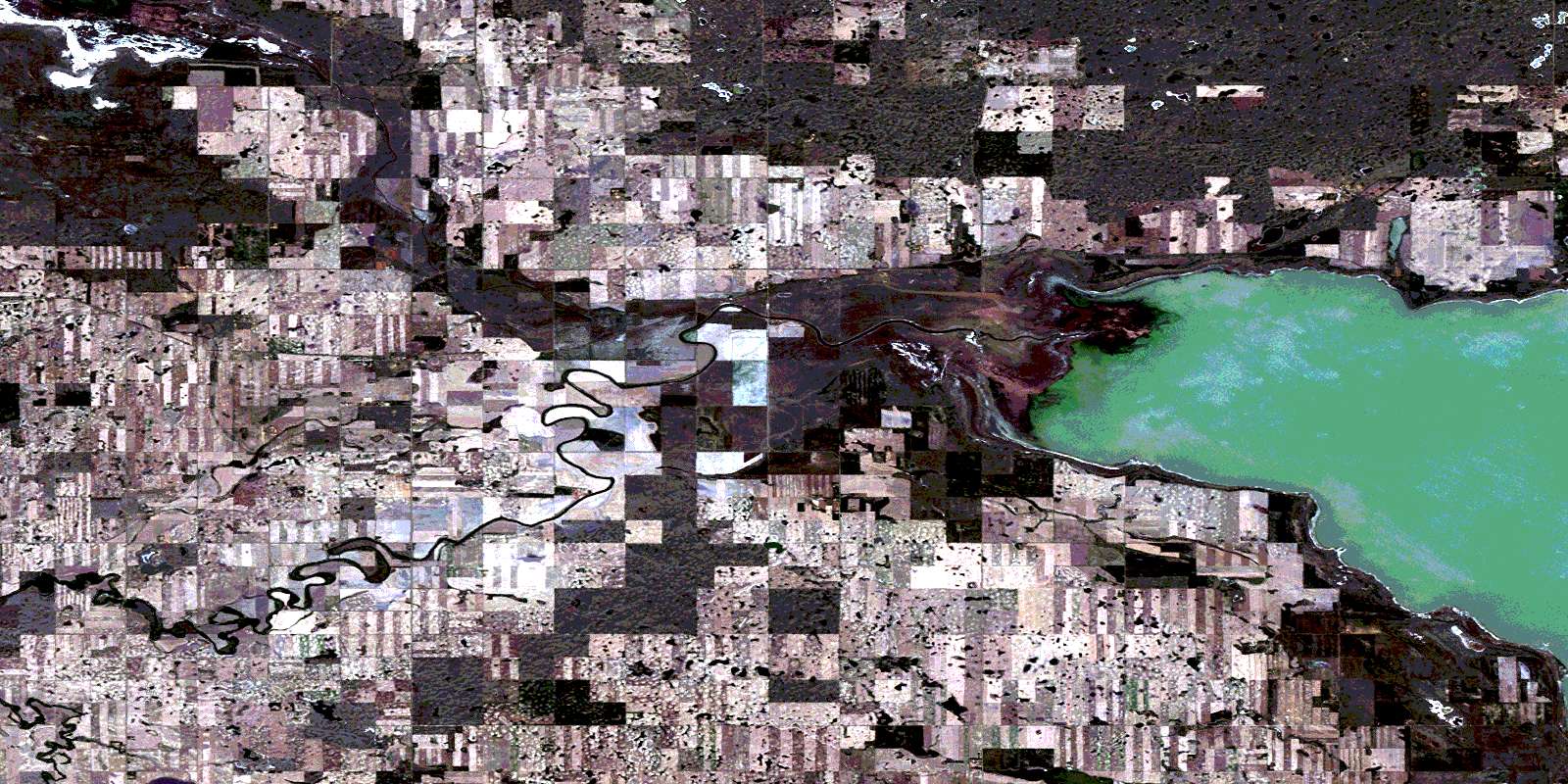
© Department of Natural Resources Canada. All rights reserved.
