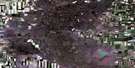
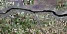
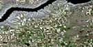
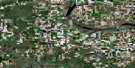
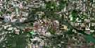
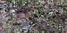
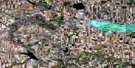
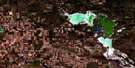
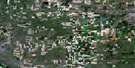
Hodgeville Satellite Image Map
Download Free Aerial Photo 072J02 at 1:50,000 scale
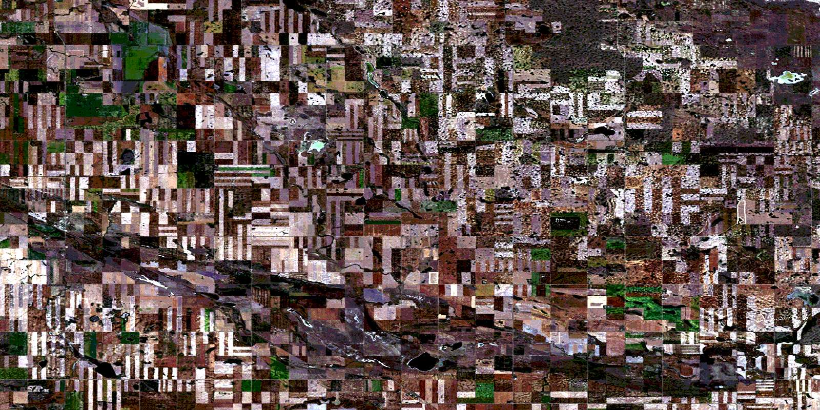
Hodgeville Satellite Imagery
To view this satellite map, mouse over the air photo on the right.
You can also download this satellite image map for free:
072J02 Hodgeville high-resolution satellite image map.
Maps for the Hodgeville aerial map sheet 072J02 at 1:50,000 scale are also available in these versions:
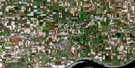
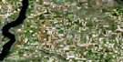
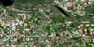
Hodgeville Surrounding Area Aerial Photo Maps
 |
 |
 |
 |
 |
 |
 |
 |
 |
 |
 |
 |
 |
 |
 |
 |
© Department of Natural Resources Canada. All rights reserved.
Hodgeville Gazetteer
The following places can be found on satellite image map 072J02 Hodgeville:
Hodgeville Satellite Image: Cliffs
The Missouri CoteauHodgeville Satellite Image: Other municipal/district area - miscellaneous
Glen Bain No. 105Gravelbourg No. 104
Lawtonia No. 135
Shamrock No. 134
Hodgeville Satellite Image: Rivers
Notukeu CreekWiwa Creek
Wood River
Hodgeville Satellite Image: Springs
Cordick SpringHodgeville Satellite Image: Unincorporated areas
BatemanKelstern
St. Boswells
Trewdale
Vogel
Wiwa Hill
Wood River
Hodgeville Satellite Image: Villages
HodgevilleShamrock
© Department of Natural Resources Canada. All rights reserved.
