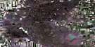
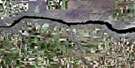
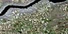
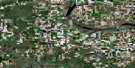
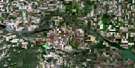
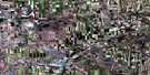
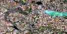
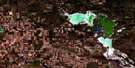
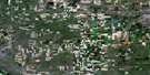
Swift Current Satellite Image Map
Download Free Aerial Photo 072J05 at 1:50,000 scale
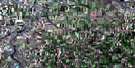
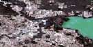
Swift Current Satellite Imagery
To view this satellite map, mouse over the air photo on the right.
You can also download this satellite image map for free:
072J05 Swift Current high-resolution satellite image map.
Maps for the Swift Current aerial map sheet 072J05 at 1:50,000 scale are also available in these versions:
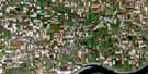
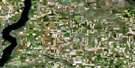
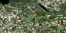
Swift Current Surrounding Area Aerial Photo Maps
 |
 |
 |
 |
 |
 |
 |
 |
 |
 |
 |
 |
 |
 |
 |
 |
© Department of Natural Resources Canada. All rights reserved.
Swift Current Gazetteer
The following places can be found on satellite image map 072J05 Swift Current:
Swift Current Satellite Image: City
Swift CurrentSwift Current Satellite Image: Cliffs
The Missouri CoteauSwift Current Satellite Image: Other municipal/district area - miscellaneous
Coulee No. 136Excelsior No. 166
Saskatchewan Landing No. 167
Swift Current No. 137
Swift Current Satellite Image: Rivers
Rushlake CreekSwift Current Creek
Swift Current Satellite Image: Unincorporated areas
AikinsBaird
Beverley
Fauna
Java
Leinan
St. Aldwyn
Swift Current Satellite Image: Villages
Waldeck
© Department of Natural Resources Canada. All rights reserved.
