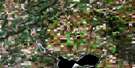
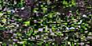
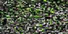
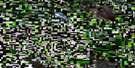
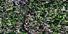
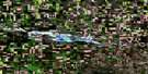
Tramping Lake Satellite Image Map
Download Free Aerial Photo 073C02 at 1:50,000 scale
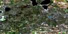
Tramping Lake Satellite Imagery
To view this satellite map, mouse over the air photo on the right.
You can also download this satellite image map for free:
073C02 Tramping Lake high-resolution satellite image map.
Maps for the Tramping Lake aerial map sheet 073C02 at 1:50,000 scale are also available in these versions:
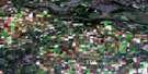
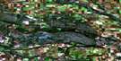
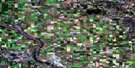
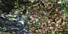
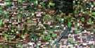
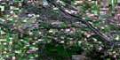
Tramping Lake Surrounding Area Aerial Photo Maps
 |
 |
 |
 |
 |
 |
 |
 |
 |
 |
 |
 |
 |
 |
 |
 |
© Department of Natural Resources Canada. All rights reserved.
Tramping Lake Gazetteer
The following places can be found on satellite image map 073C02 Tramping Lake:
Tramping Lake Satellite Image: Lakes
Crane LakeEins Lake
Landis Lake
Little Tramping Lake
Sunny Lake
Tramping Lake
Tramping Lake Satellite Image: Other municipal/district area - miscellaneous
Grandview No. 349Mariposa No. 350
Reford No. 379
Tramping Lake No. 380
Tramping Lake Satellite Image: Rivers
Eagle CreekTramping Lake Satellite Image: Springs
Besana SpringTramping Lake Satellite Image: Unincorporated areas
BroadacresHandel
Leipzig
Revenue
Tramping Lake Satellite Image: Villages
Tramping Lake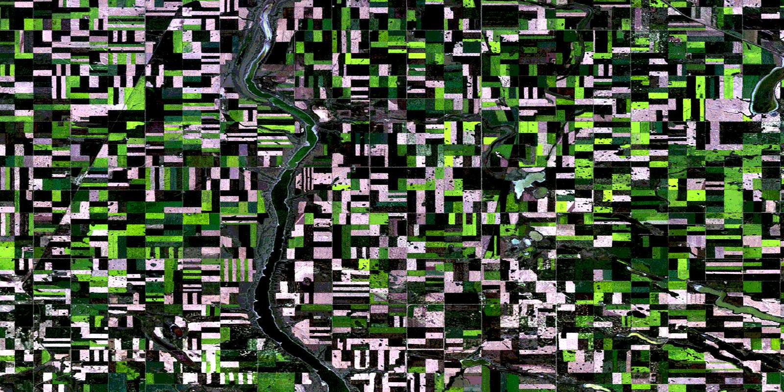
© Department of Natural Resources Canada. All rights reserved.
