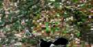
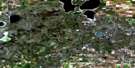
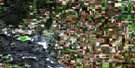
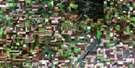
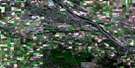
Vera Satellite Image Map
Download Free Aerial Photo 073C11 at 1:50,000 scale
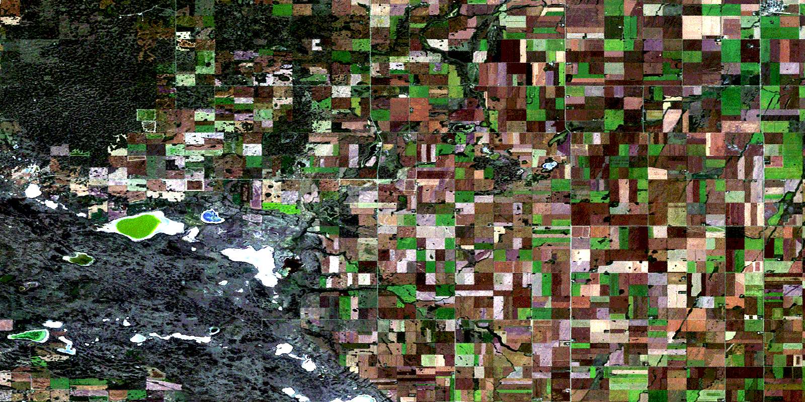
Vera Satellite Imagery
To view this satellite map, mouse over the air photo on the right.
You can also download this satellite image map for free:
073C11 Vera high-resolution satellite image map.
Maps for the Vera aerial map sheet 073C11 at 1:50,000 scale are also available in these versions:
Vera Surrounding Area Aerial Photo Maps
 |
 |
 |
 |
 |
 |
 |
 |
 |
 |
 |
 |
 |
 |
 |
 |
© Department of Natural Resources Canada. All rights reserved.
Vera Gazetteer
The following places can be found on satellite image map 073C11 Vera:
Vera Satellite Image: Cliffs
The CoteauVera Satellite Image: Indian Reserves
Poundmaker 114-13Poundmaker 114-17
Vera Satellite Image: Lakes
Ahrens LakeAkerlund Lake
Alpine Lake
Altair Lake
Boulton Lake
Cherry Lake
Chimney Lake
Clare Lake
Clear Lake
Collard Lake
Devitt Lake
Eby Lake
Florence Lake
Henry Lake
Lake of Bays
Letter Lake
Lonely Lake
McLean Lake
One Lake
Orion Lake
Raspberry Lake
Roscoe Lake
Schmidt Lake
Scrub Lake
Seagram Lakes
Syd Lake
Yellowsnake Lake
Vera Satellite Image: Other municipal/district area - miscellaneous
Buffalo No. 409Cut Knife No. 439
Hillsdale No. 440
Prairie No. 408
Round Valley No. 410
Senlac No. 411
Vera Satellite Image: Rivers
Cut Knife CreekCutknife Creek
Poundmaker Creek
Vera Satellite Image: Towns
Cut KnifeVera Satellite Image: Unincorporated areas
BuccleughCutoff
Vera
© Department of Natural Resources Canada. All rights reserved.
