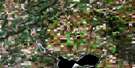
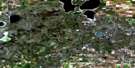
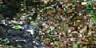
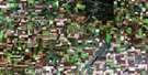
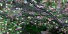
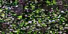
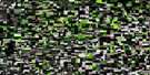
Baldwinton Satellite Image Map
Download Free Aerial Photo 073C14 at 1:50,000 scale
Baldwinton Satellite Imagery
To view this satellite map, mouse over the air photo on the right.
You can also download this satellite image map for free:
073C14 Baldwinton high-resolution satellite image map.
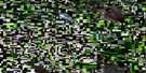
Maps for the Baldwinton aerial map sheet 073C14 at 1:50,000 scale are also available in these versions:
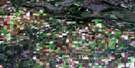
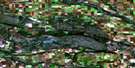
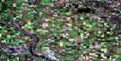
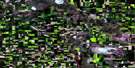
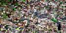
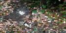
Baldwinton Surrounding Area Aerial Photo Maps
 |
 |
 |
 |
 |
 |
 |
 |
 |
 |
 |
 |
 |
 |
 |
 |
© Department of Natural Resources Canada. All rights reserved.
Baldwinton Gazetteer
The following places can be found on satellite image map 073C14 Baldwinton:
Baldwinton Satellite Image: Cliffs
The CoteauBaldwinton Satellite Image: Indian Reserves
Little Pine and Lucky Man Indian Reserve 116LittlePine 116
Poundmaker 114
Poundmaker 114-11A
Poundmaker 114-16
Poundmaker 114-17
Poundmaker 114-17A
Poundmaker 114-21
Poundmaker 114-22
Réserve indienne Little Pine and Lucky Man 116
Baldwinton Satellite Image: Lakes
Alida LakeCollie Lake
Cowan Lake
Elsey Lake
Grass Lake
Harshey Lake
Harshey Lakes
Maskwa Lake
Max Lake
One Lake
Perdue Lake
Prince Lake
Silver Lake
Soda Lake
Stringer Lake
Sykes Lake
Yellowsnake Lake
Baldwinton Satellite Image: Mountains
Maskwa HillBaldwinton Satellite Image: Other municipal/district area - miscellaneous
Cut Knife No. 439Hillsdale No. 440
Manitou Lake No. 442
Paynton No. 470
Baldwinton Satellite Image: Rivers
Battle RiverPoundmaker Creek
Baldwinton Satellite Image: Unincorporated areas
BaldwintonBallinora
Carruthers
Cutknife
Freemont
Lilydale
Monta
Newby
Poundmaker
Tatsfield
Wilbert

© Department of Natural Resources Canada. All rights reserved.
