
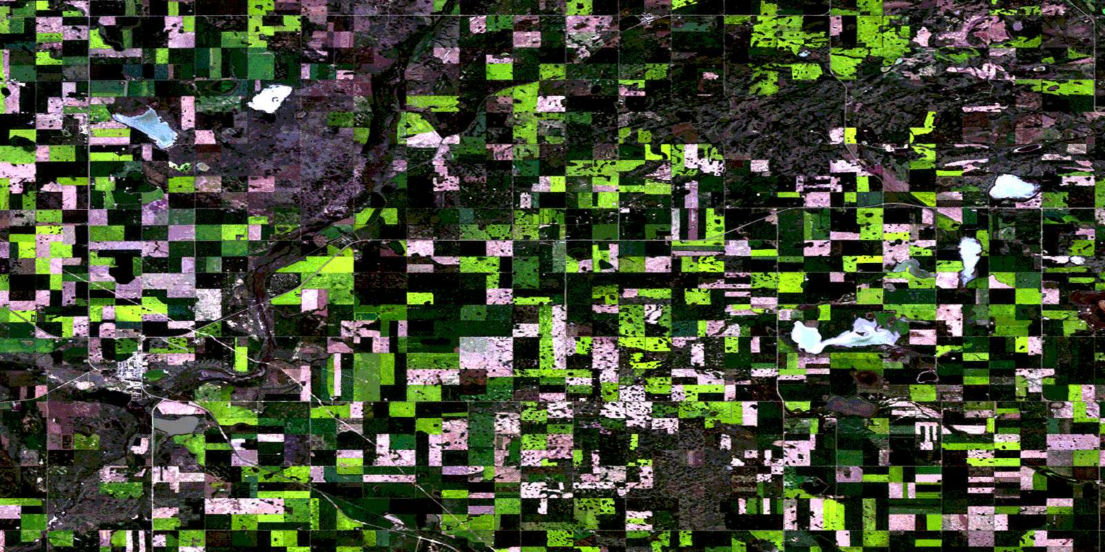
Macklin Satellite Image Map
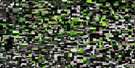
Download Free Aerial Photo 073C05 at 1:50,000 scale
Macklin Satellite Imagery
To view this satellite map, mouse over the air photo on the right.
You can also download this satellite image map for free:
073C05 Macklin high-resolution satellite image map.
Maps for the Macklin aerial map sheet 073C05 at 1:50,000 scale are also available in these versions:
Macklin Surrounding Area Aerial Photo Maps
 |
 |
 |
 |
 |
 |
 |
 |
 |
 |
 |
 |
 |
 |
 |
 |
© Department of Natural Resources Canada. All rights reserved.
Macklin Gazetteer
The following places can be found on satellite image map 073C05 Macklin:
Macklin Satellite Image: Lakes
Albert LakeAlgol Lake
Beatrice Lake
Chisholm Lake
Cook Lake
Drake Lake
Ell Lake
Error Lake
Error Lakes
George Lake
Hallam Lake
Leier Lake
Limit Lake
Macklin Lake
McDougal Lake
Morse Lake
Partridge Lake
Pearce Lake
Primate Lake
Sheppard Sloughs
Tracey Lake
Winterhaldt Lake
Young Lake
Zaller Lake
Zoller Lake
Macklin Satellite Image: Other municipal/district area - miscellaneous
Eye Hill No. 382Grass Lake No. 381
Senlac No. 411
Macklin Satellite Image: Conservation areas
Macklin Game PreserveMacklin Lake Regional Park
Macklin Satellite Image: Rivers
Eyehill CreekHallam Creek
Macklin Satellite Image: Springs
Finucane SpringMacklin Satellite Image: Towns
MacklinMacklin Satellite Image: Unincorporated areas
EveshamHallam
Salt Lake
Macklin Satellite Image: Villages
PrimateSenlac
© Department of Natural Resources Canada. All rights reserved.

 Newsletter Sign-up


