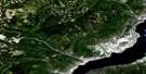
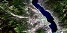
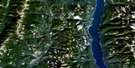
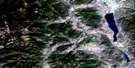
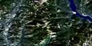
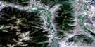
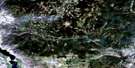
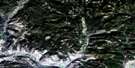
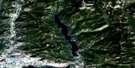
Osoyoos Satellite Image Map
Download Free Aerial Photo 082E03 at 1:50,000 scale
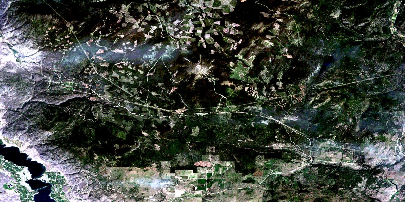
Osoyoos Satellite Imagery
To view this satellite map, mouse over the air photo on the right.
You can also download this satellite image map for free:
082E03 Osoyoos high-resolution satellite image map.
Maps for the Osoyoos aerial map sheet 082E03 at 1:50,000 scale are also available in these versions:
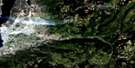
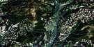
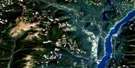
Osoyoos Surrounding Area Aerial Photo Maps
 |
 |
 |
 |
 |
 |
 |
 |
 |
 |
 |
 |
 |
 |
 |
 |
© Department of Natural Resources Canada. All rights reserved.
Osoyoos Gazetteer
The following places can be found on satellite image map 082E03 Osoyoos:
Osoyoos Satellite Image: Capes
Lacey PointOsoyoos Satellite Image: Indian Reserves
Osoyoos Indian Reserve 1Osoyoos Indian Reserve 3
Réserve indienne Osoyoos 1
Réserve indienne Osoyoos 3
Osoyoos Satellite Image: Lakes
Conkle LakeEd James Lake
Little Fish Lake
Myers Lake
Osoyoos Lake
Peanut Lake
Osoyoos Satellite Image: Mountains
Anarchist MountainBaldy Mountain
Beaverdell Range
Mount Underdown
Okanagan Highland
Storm Hill
Osoyoos Satellite Image: Major municipal/district area - major agglomerations
Regional District of Central KootenayRegional District of Kootenay-Boundary
Osoyoos Satellite Image: Conservation areas
Conkle Lake ParkHaynes Point Park
Johnstone Creek Park
Osoyoos Satellite Image: Plains
Interior PlateauThompson Plateau
Osoyoos Satellite Image: Rivers
Atsiklak CreekBaker Creek
Baldy Creek
Bourguiba Creek
Brides Creek
Budy Creek
Conkle Creek
Coteay Creek
East Creek
Ed James Creek
Gregoire Creek
Haynes Creek
Hulme Creek
Inkaneep Creek
Johnstone Creek
Jolly Creek
Kamloops Creek
Kettle River
Long Joe Creek
McCoy Creek
McCuddy Creek
McIntyre Creek
McKinney Creek
Mica Creek
Myers Creek
Nathan Creek
Nine Mile Creek
Rancher Creek
Rice Creek
Ripperto Creek
Rock Creek
Rusch Creek
Stanhope Creek
Strawberry Creek
Underdown Creek
Vaseux Creek
Wapiti Creek
West Kettle River
Westkettle River
Wildhorse Creek
Wolfcub Creek
Osoyoos Satellite Image: Towns
OsoyoosOsoyoos Satellite Image: Unincorporated areas
BridesvilleCamp McKinney
East Osoyoos
Mount Baldy
Myncaster
Rhone
Rock Creek
Sidley
© Department of Natural Resources Canada. All rights reserved.
082E Related Maps:
082E Penticton082E01 Grand Forks
082E02 Greenwood
082E03 Osoyoos
082E04 Keremeos
082E05 Penticton
082E06 Beaverdell
082E07 Almond Mountain
082E08 Deer Park
082E09 Burrell Creek
082E10 Christian Valley
082E11 Wilkinson Creek
082E12 Summerland
082E13 Peachland
082E14 Kelowna
082E15 Damfino Creek
082E16 Edgewood
