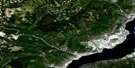
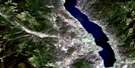
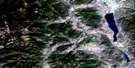
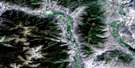
Edgewood Satellite Image Map
Download Free Aerial Photo 082E16 at 1:50,000 scale
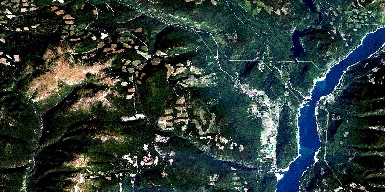
Edgewood Satellite Imagery
To view this satellite map, mouse over the air photo on the right.
You can also download this satellite image map for free:
082E16 Edgewood high-resolution satellite image map.
Maps for the Edgewood aerial map sheet 082E16 at 1:50,000 scale are also available in these versions:
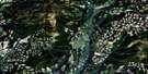
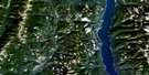
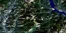
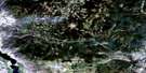
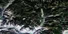
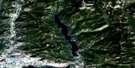
Edgewood Surrounding Area Aerial Photo Maps
 |
 |
 |
 |
 |
 |
 |
 |
 |
 |
 |
 |
 |
 |
 |
 |
© Department of Natural Resources Canada. All rights reserved.
Edgewood Gazetteer
The following places can be found on satellite image map 082E16 Edgewood:
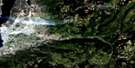
Edgewood Satellite Image: Capes
Grassy PointEdgewood Satellite Image: Channels
The NeedlesEdgewood Satellite Image: Lakes
Lindsay LakeLower Arrow Lake
Snowshoe Lake
Whatshan Lake
Whatshan Lakes
York Lake
Edgewood Satellite Image: Mountains
Christina RangeColumbia Mountains
Galloping Mountain
Glen Paige Ridge
Goat Mountain
Gunwad Mountain
Midway Range
Monashee Mountains
Mount Carleton Brown
Mount Scaia
Mount York
Mount Young
Selkirk Mountains
Valhalla Mountains
Valhalla Range
Valhalla Ranges
Valkyr Mountains
Valkyr Range
Whatshan Range
Edgewood Satellite Image: Major municipal/district area - major agglomerations
Regional District of Kootenay-BoundaryEdgewood Satellite Image: Conservation areas
Arrow Lakes ParkGranby Park
Inonoaklin Park
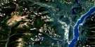
Edgewood Satellite Image: Rivers
Andres CreekBanting Creek
Barnes Creek
Bates Creek
Bench Creek
Brydges Creek
Burrell Creek
Christie Creek
Christy Creek
Columbia River
Cortiana Creek
Delta Creek
Eagle Creek
Fauquier Creek
Fern Creek
Fleuve Columbia
Funk Creek
Galloping Creek
Granby River
Heart Creek
Heaton Creek
Inonoaklin Creek
Johnston Creek
Lindsay Creek
Lovesay Creek
McDermot Creek
McGill Creek
McIntosh Creek
McLean Creek
Nesbitt Creek
Pin Creek
Rampalo Creek
Robinson Creek
Sally Creek
Stoney Creek
Taite Creek
Teepee Creek
Valley Creek
Whatshan River
Winnifred Creek
Worthington Creek
Yellow Creek
York Creek
Edgewood Satellite Image: Unincorporated areas
ApplegroveEdgewood
Fauquier
Forslund
Killarney
Needles
Edgewood Satellite Image: Valleys
Fire ValleyGlen Paige Valley
© Department of Natural Resources Canada. All rights reserved.
082E Related Maps:
082E Penticton082E01 Grand Forks
082E02 Greenwood
082E03 Osoyoos
082E04 Keremeos
082E05 Penticton
082E06 Beaverdell
082E07 Almond Mountain
082E08 Deer Park
082E09 Burrell Creek
082E10 Christian Valley
082E11 Wilkinson Creek
082E12 Summerland
082E13 Peachland
082E14 Kelowna
082E15 Damfino Creek
082E16 Edgewood
