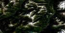
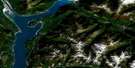
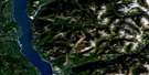
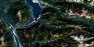
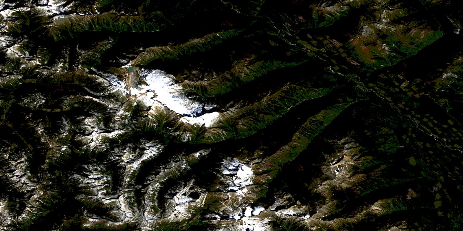
Poplar Creek Satellite Image Map
Download Free Aerial Photo 082K06 at 1:50,000 scale
Poplar Creek Satellite Imagery
To view this satellite map, mouse over the air photo on the right.
You can also download this satellite image map for free:
082K06 Poplar Creek high-resolution satellite image map.
Maps for the Poplar Creek aerial map sheet 082K06 at 1:50,000 scale are also available in these versions:
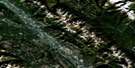
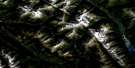
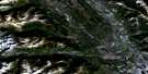
Poplar Creek Surrounding Area Aerial Photo Maps
 |
 |
 |
 |
 |
 |
 |
 |
 |
 |
 |
 |
 |
 |
 |
 |
© Department of Natural Resources Canada. All rights reserved.
Poplar Creek Gazetteer
The following places can be found on satellite image map 082K06 Poplar Creek:
Poplar Creek Satellite Image: Glaciers
Tenderfoot GlacierPoplar Creek Satellite Image: Lakes
Blue LakeKay Lake
Logus Lake
Tenderfoot Lake
Poplar Creek Satellite Image: Mountains
Badshot RangeCascade Mountain
Clark Peak
Columbia Mountains
Duncan Ranges
Gallo Peak
Goat Range
Howser Ridge
Lardeau Range
Meadow Mountain
Mount Bentley
Mount Emmens
Mount Johnson
Mount Johnston
Mount Keen
Mount Marion
Mount Wilkie
Selkirk Mountains
Spyglass Mountain
Superposed Mountain
Tenderfoot Mountain
The Ramparts
Poplar Creek Satellite Image: Major municipal/district area - major agglomerations
Regional District of Central KootenayPoplar Creek Satellite Image: Conservation areas
Goat Range ParkTrout Lake Park
Poplar Creek Satellite Image: Rivers
Abrahamson CreekBenson Creek
Burkitt Creek
Cascade Creek
Craig Creek
Deception Creek
Deep Creek
Healy Creek
Hope Creek
Hunter Creek
John Creek
Kuskanax Creek
Lake Creek
Lardeau River
Mat Creek
McKian Creek
Meadow Creek
Mobbs Creek
Morgan Creek
Poplar Creek
Rapid Creek
Rogers Creek
Rusty Creek
Tenderfoot Creek
Wood Creek
Poplar Creek Satellite Image: Unincorporated areas
Gold HillPoplar Creek
© Department of Natural Resources Canada. All rights reserved.
082K Related Maps:
082K Lardeau082K01 Findlay Creek
082K02 Lardeau
082K03 Rosebery
082K04 Nakusp
082K05 St Leon Creek
082K06 Poplar Creek
082K07 Duncan Lake
082K08 Toby Creek
082K09 Radium Hot Springs
082K10 Howser Creek
082K11 Trout Lake
082K12 Beaton
082K13 Camborne
082K14 Westfall River
082K15 Bugaboo Creek
082K16 Spillimacheen
