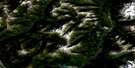
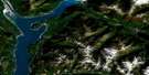
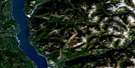
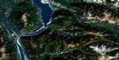
Lardeau Satellite Image Map
Download Free Aerial Photo 082K02 at 1:50,000 scale
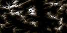
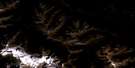
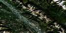
Lardeau Satellite Imagery
To view this satellite map, mouse over the air photo on the right.
You can also download this satellite image map for free:
082K02 Lardeau high-resolution satellite image map.
Maps for the Lardeau aerial map sheet 082K02 at 1:50,000 scale are also available in these versions:
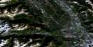
Lardeau Surrounding Area Aerial Photo Maps
 |
 |
 |
 |
 |
 |
 |
 |
 |
 |
 |
 |
 |
 |
 |
 |
© Department of Natural Resources Canada. All rights reserved.
Lardeau Gazetteer
The following places can be found on satellite image map 082K02 Lardeau:
Lardeau Satellite Image: Capes
Fry PointSchroeder Point
Lardeau Satellite Image: Glaciers
Hamill GlacierToby Glacier
Lardeau Satellite Image: Lakes
Clute LakeEagle Nest Lake
Kootenay Lake
Lake Bonny Gem
Marten Lake
Milford Lake
Weasel Lakes
Lardeau Satellite Image: Mountains
Bacchus RidgeBlue Ridge
Columbia Mountains
Comb Mountain
Eagle Spire
Goat Range
Griswold Peak
Kootenay Joe Ridge
Mammary Peak
Milford Peak
Mount Abey
Mount Beguin
Mount Bulmer
Mount Christine
Mount Clark
Mount Fitzsimmons
Mount Hamill
Mount Katherine
Mount Lady Grey
Mount Lake
Mount Lillian
Mount Macnicol
Mount Mason
Mount McLanders
Mount McLeod
Mount Pambrun
Mount Rasmussen
Mount Sauczuk
Mount Toby
Mount Tyrrell
Mount Wilkinson
Mount Willet
Purcell Mountains
Selkirk Mountains
The Steeds
Tooth Ridge
Winter Peak
Lardeau Satellite Image: Major municipal/district area - major agglomerations
Regional District of Central KootenayRegional District of East Kootenay
Lardeau Satellite Image: Conservation areas
Fry Creek Canyon Recreation AreaKootenay Lake Park
Kootenay Lake Recreation Area
Lardeau Park
Purcell Wilderness Conservancy
Lardeau Satellite Image: Rivers
Argenta CreekBulmer Creek
Carney Creek
Carter Creek
Clint Creek
Clute Creek
Cooper Creek
Crazy Creek
Davis Creek
Duncan River
Fry Creek
Gar Creek
Gardner Creek
Gillis Creek
Granitic Creek
Greasy Rocks Creek
Hamill Creek
Kootenay Joe Creek
Lardeau River
Lillian Creek
Lost Ledge Creek
Lunch Creek
McLaughlin Creek
Meadow Creek
Milford Creek
Murphy Creek
Noel Creek
Pambrun Creek
Pinnacle Creek
Pork Creek
Quart Creek
Salisbury Creek
Schroeder Creek
Smallfry Creek
Stanley Creek
Ten Mile Creek
Toby Creek
Lardeau Satellite Image: Unincorporated areas
ArgentaBirchdale
Cooper Creek
Fry Creek
Johnsons Landing
Johnson's Landing
Lardeau
Marble Head
Marblehead
Meadow Creek
Lardeau Satellite Image: Valleys
Kootenay Joe Pass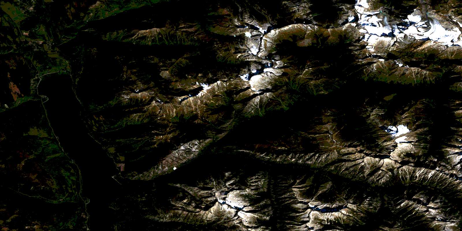
© Department of Natural Resources Canada. All rights reserved.
082K Related Maps:
082K Lardeau082K01 Findlay Creek
082K02 Lardeau
082K03 Rosebery
082K04 Nakusp
082K05 St Leon Creek
082K06 Poplar Creek
082K07 Duncan Lake
082K08 Toby Creek
082K09 Radium Hot Springs
082K10 Howser Creek
082K11 Trout Lake
082K12 Beaton
082K13 Camborne
082K14 Westfall River
082K15 Bugaboo Creek
082K16 Spillimacheen
