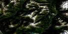
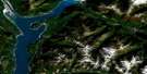
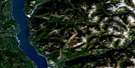
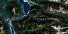
Duncan Lake Satellite Image Map
Download Free Aerial Photo 082K07 at 1:50,000 scale
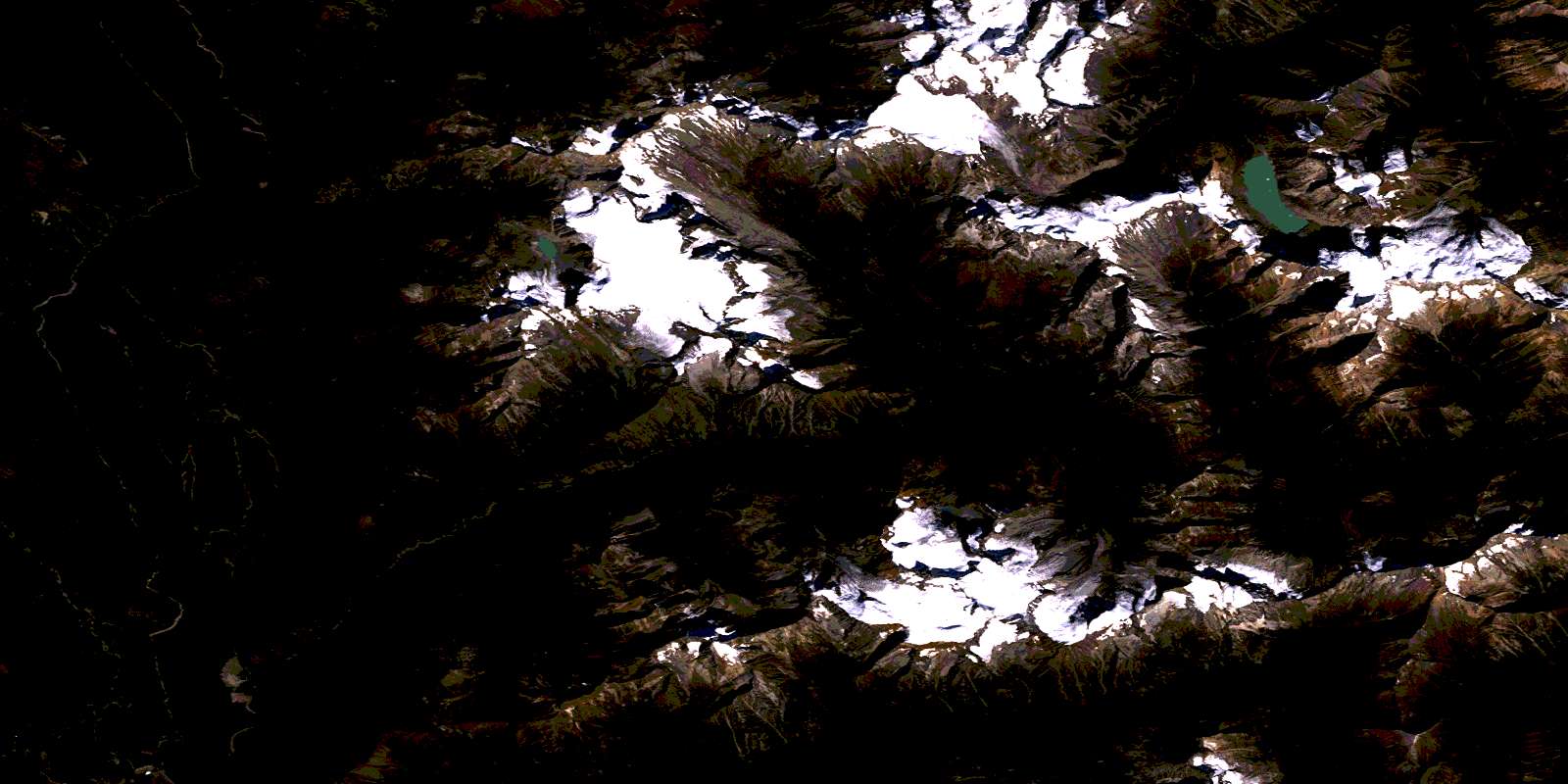
Duncan Lake Satellite Imagery
To view this satellite map, mouse over the air photo on the right.
You can also download this satellite image map for free:
082K07 Duncan Lake high-resolution satellite image map.
Maps for the Duncan Lake aerial map sheet 082K07 at 1:50,000 scale are also available in these versions:
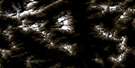
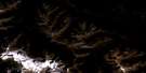
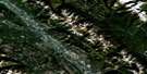
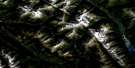
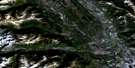
Duncan Lake Surrounding Area Aerial Photo Maps
 |
 |
 |
 |
 |
 |
 |
 |
 |
 |
 |
 |
 |
 |
 |
 |
© Department of Natural Resources Canada. All rights reserved.
Duncan Lake Gazetteer
The following places can be found on satellite image map 082K07 Duncan Lake:
Duncan Lake Satellite Image: Bays
Lower ArmUpper Arm
Duncan Lake Satellite Image: Capes
Gallop PointJubilee Point
Duncan Lake Satellite Image: Falls
Birnam FallsHorsethief Falls
Duncan Lake Satellite Image: Glaciers
Commander GlacierHorseshoe Glacier
Jumbo Glacier
Macbeth Icefield
Starbird Glacier
Stockdale Glacier
Duncan Lake Satellite Image: Hydraulic construction
Duncan DamDuncan Lake Satellite Image: Lakes
Duncan LakeGraymalkin Lake
Lake of the Hanging Glacier
Duncan Lake Satellite Image: Mountains
Archduke MountainBadshot Range
Bastille Mountain
B-Flat Peak
Birthday Peak
Blockhead Mountain
Camp Peak
Cauldron Mountain
Cirque Peak
Columbia Mountains
Commander Mountain
Covenant Mountain
Eagle Spire
Emperor Peak
Eyebrow Peak
Fingerboard Ridge
Glacier Dome
Goat Range
Granite Peak
Howser Ridge
Jumbo Mountain
Karnak Mountain
Mount Banquo
Mount Earl Grey
Mount Fleance
Mount Lady Macbeth
Mount Lavina
Mount Macbeth
Mount Macduff
Mount Maye
Mount Monica
Mount Simpson
Ochre Peak
Purcell Mountains
Quibble Peak
Redtop Mountain
Selkirk Mountains
Squabble Peak
The Cleaver
The Guardsmen
The Lieutenants
Toad Peak
Tranquillity Mountain
Truce Mountain
Volley Mountain
Duncan Lake Satellite Image: Major municipal/district area - major agglomerations
Regional District of Central KootenayRegional District of East Kootenay
Duncan Lake Satellite Image: Conservation areas
Purcell Wilderness ConservancyDuncan Lake Satellite Image: Rivers
Beartrap CreekBehrman Creek
Big Climb Creek
Birnam Creek
Crazy Creek
Duncan River
Echo Creek
Farnham Creek
Gallop Creek
Garland Creek
Glacier Creek
Griz Creek
Hamill Creek
Horsethief Creek
Howser Creek
John Creek
Jumbo Creek
Lardeau River
Leo Creek
Little Glacier Creek
McLeod Creek
Meadow Creek
Morgan Creek
Nine Mile Creek
North Creek
Pat Creek
Pharaoh Creek
Pharoah Creek
Puddingbowl Creek
Slipper Creek
South Toby Creek
Suck Creek
Tea Creek
Tige Creek
Toby Creek
Duncan Lake Satellite Image: Unincorporated areas
Healy LandingHowser
Marble Head
Marblehead
Duncan Lake Satellite Image: Valleys
Earl Grey PassJumbo Pass
Starbird Pass
© Department of Natural Resources Canada. All rights reserved.
082K Related Maps:
082K Lardeau082K01 Findlay Creek
082K02 Lardeau
082K03 Rosebery
082K04 Nakusp
082K05 St Leon Creek
082K06 Poplar Creek
082K07 Duncan Lake
082K08 Toby Creek
082K09 Radium Hot Springs
082K10 Howser Creek
082K11 Trout Lake
082K12 Beaton
082K13 Camborne
082K14 Westfall River
082K15 Bugaboo Creek
082K16 Spillimacheen
