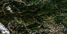
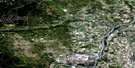
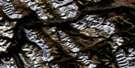
Limestone Mountain Satellite Image Map
Download Free Aerial Photo 082O14 at 1:50,000 scale
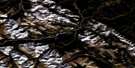
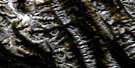
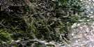
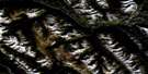
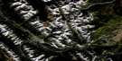
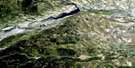
Limestone Mountain Satellite Imagery
To view this satellite map, mouse over the air photo on the right.
You can also download this satellite image map for free:
082O14 Limestone Mountain high-resolution satellite image map.
Maps for the Limestone Mountain aerial map sheet 082O14 at 1:50,000 scale are also available in these versions:
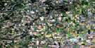
Limestone Mountain Surrounding Area Aerial Photo Maps
 |
 |
 |
 |
 |
 |
 |
 |
 |
 |
 |
 |
 |
 |
 |
 |
© Department of Natural Resources Canada. All rights reserved.
Limestone Mountain Gazetteer
The following places can be found on satellite image map 082O14 Limestone Mountain:
Limestone Mountain Satellite Image: Mountains
Corkscrew MountainEagle Mountain
Great West Ridge
Idlewilde Mountain
Limestone Mountain
Marble Mountain
McMurtry Ridge
Old Baldy Mountain
Parker Ridge
Rocky Mountain Foothills
Sawtooth Ridge
Strawberry Ridge
Limestone Mountain Satellite Image: Major municipal/district area - major agglomerations
Clearwater CountyMunicipal District of Clearwater No. 99
Limestone Mountain Satellite Image: Rivers
Barry CreekBread Creek
Bridgland Creek
Clearwater River
Eagle Creek
James River
Kelly Creek
Limestone Creek
Moose Creek
Parker Creek
Pineneedle Creek
Raven River
Rocky Creek
Sawtooth Creek
Seven Mile Creek
South James River
Temple Creek
Tepee Pole Creek
Tepee-pole Creek
Upper Stony Creek
Walton Creek
West Stony Creek
Willson Creek
Windfall Creek
Limestone Mountain Satellite Image: River features
Whiskey Jack CrossingLimestone Mountain Satellite Image: Low vegetation
Island Muskeg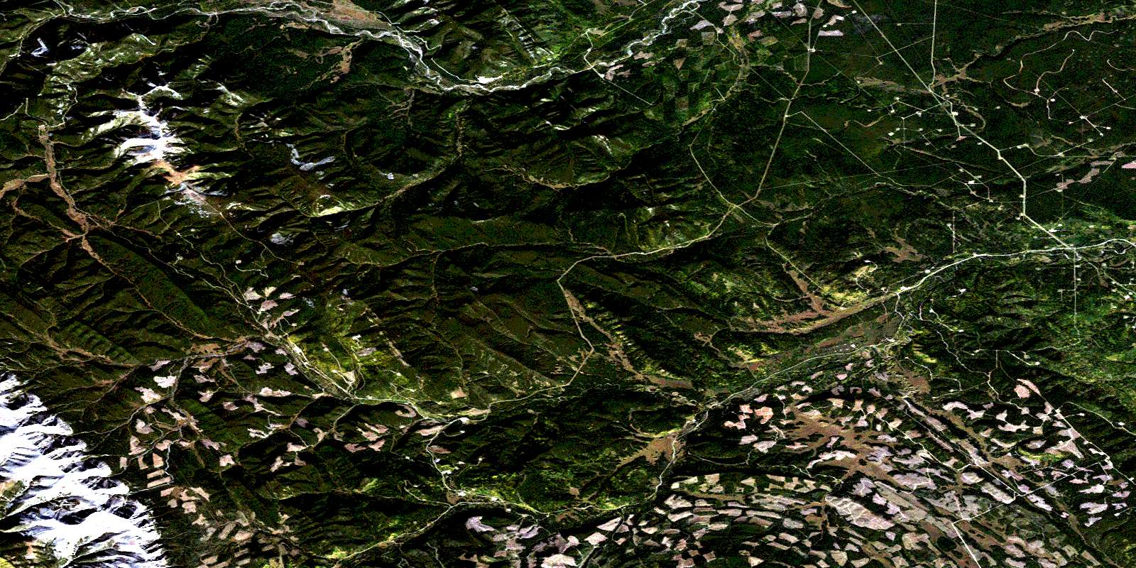
© Department of Natural Resources Canada. All rights reserved.
082O Related Maps:
082O Calgary082O01 Calgary
082O02 Jumpingpound Creek
082O03 Canmore
082O04 Banff
082O05 Castle Mountain
082O06 Lake Minnewanka
082O07 Wildcat Hills
082O08 Crossfield
082O09 Didsbury
082O10 Fallentimber
082O11 Burnt Timber Creek
082O12 Barrier Mountain
082O13 Forbidden Creek
082O14 Limestone Mountain
082O15 Sundre
082O16 Olds
