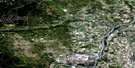
Didsbury Satellite Image Map
Download Free Aerial Photo 082O09 at 1:50,000 scale
Didsbury Satellite Imagery
To view this satellite map, mouse over the air photo on the right.
You can also download this satellite image map for free:
082O09 Didsbury high-resolution satellite image map.
Maps for the Didsbury aerial map sheet 082O09 at 1:50,000 scale are also available in these versions:
Didsbury Surrounding Area Aerial Photo Maps
 |
 |
 |
 |
 |
 |
 |
 |
 |
 |
 |
 |
 |
 |
 |
 |
© Department of Natural Resources Canada. All rights reserved.
Didsbury Gazetteer
The following places can be found on satellite image map 082O09 Didsbury:
Didsbury Satellite Image: Lakes
Barrie LakeBloxham's Slough
Copeley Lake
Hicklon Lake
Johnson Lake
Didsbury Satellite Image: Mountains
Radford's HillDidsbury Satellite Image: Major municipal/district area - major agglomerations
County of Mountain View No. 17Mountain View County
Didsbury Satellite Image: Rivers
Beaverdam CreekCarstairs Creek
Deadrick Creek
Dogpound Creek
Little Red Deer River
Rosebud River
Didsbury Satellite Image: Towns
CarstairsDidsbury
Didsbury Satellite Image: Unincorporated areas
GarfieldJackville
Minaret
Shantz
Wessex
Westcott
Westerdale
Didsbury Satellite Image: Valleys
Sheep CouleeDidsbury Satellite Image: Villages
Cremona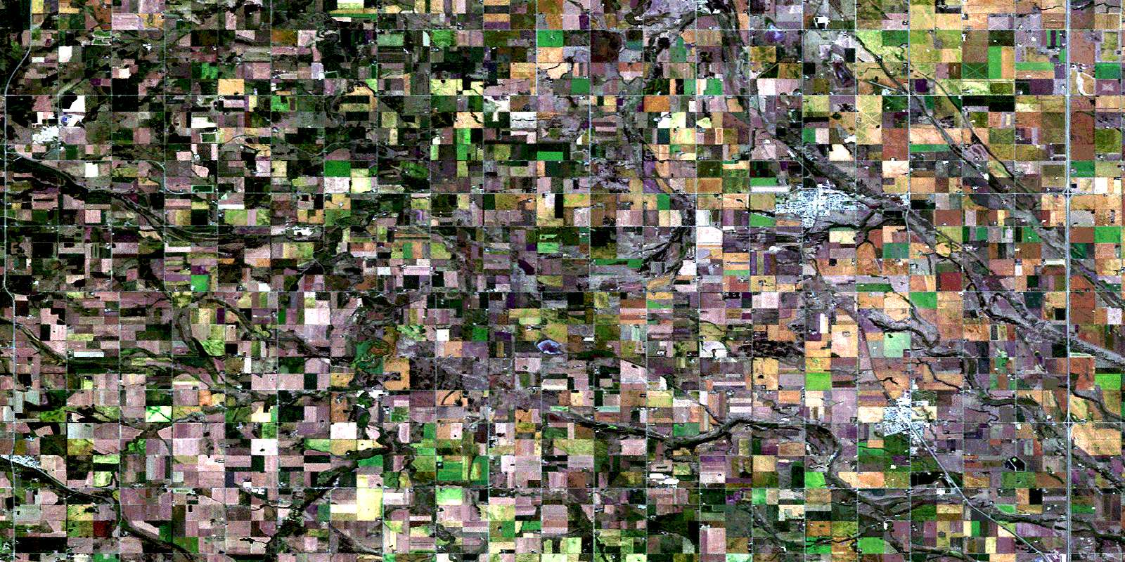
© Department of Natural Resources Canada. All rights reserved.
082O Related Maps:
082O Calgary082O01 Calgary
082O02 Jumpingpound Creek
082O03 Canmore
082O04 Banff
082O05 Castle Mountain
082O06 Lake Minnewanka
082O07 Wildcat Hills
082O08 Crossfield
082O09 Didsbury
082O10 Fallentimber
082O11 Burnt Timber Creek
082O12 Barrier Mountain
082O13 Forbidden Creek
082O14 Limestone Mountain
082O15 Sundre
082O16 Olds
