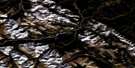
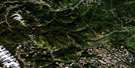
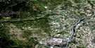
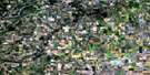
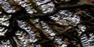
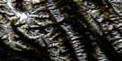
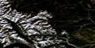
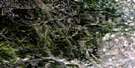
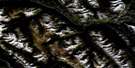
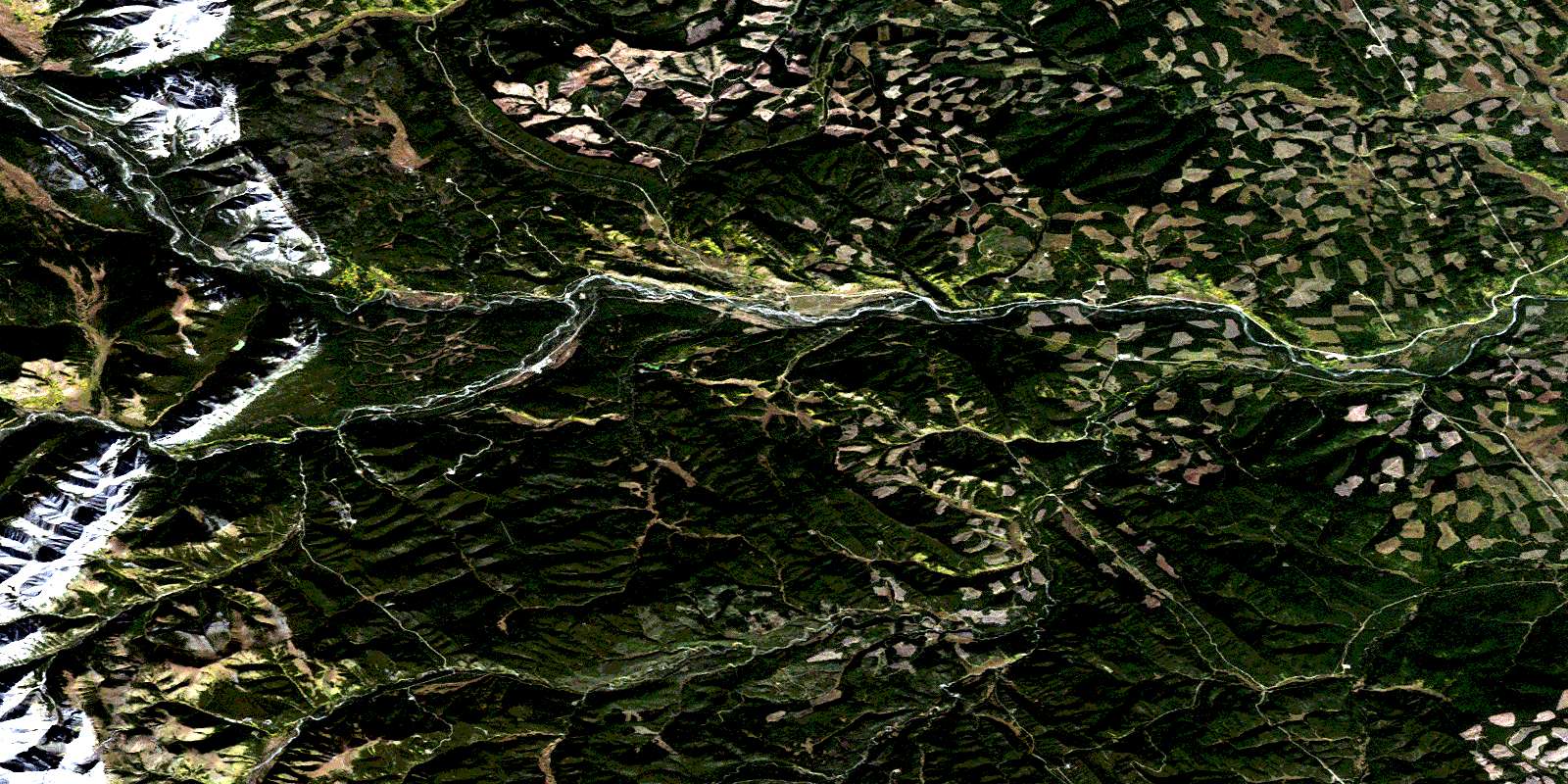
Burnt Timber Creek Satellite Image Map
Download Free Aerial Photo 082O11 at 1:50,000 scale
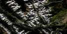
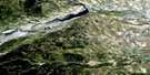
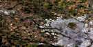
Burnt Timber Creek Satellite Imagery
To view this satellite map, mouse over the air photo on the right.
You can also download this satellite image map for free:
082O11 Burnt Timber Creek high-resolution satellite image map.
Maps for the Burnt Timber Creek aerial map sheet 082O11 at 1:50,000 scale are also available in these versions:
Burnt Timber Creek Surrounding Area Aerial Photo Maps
 |
 |
 |
 |
 |
 |
 |
 |
 |
 |
 |
 |
 |
 |
 |
 |
© Department of Natural Resources Canada. All rights reserved.
Burnt Timber Creek Gazetteer
The following places can be found on satellite image map 082O11 Burnt Timber Creek:
Burnt Timber Creek Satellite Image: Lakes
Dormer LakeEagle Lake
Heifer Lake
James Lake
Klein Lake
Burnt Timber Creek Satellite Image: Mountains
Blue HillEagle Mountain
Great West Ridge
Labyrinth Mountain
Montagnes Rocheuses
Parker Ridge
Rocky Mountain Foothills
Rocky Mountains
Burnt Timber Creek Satellite Image: Major municipal/district area - major agglomerations
Clearwater CountyMunicipal District of Bighorn No. 8
Municipal District of Clearwater No. 99
Burnt Timber Creek Satellite Image: Other municipal/district area - miscellaneous
Improvement District No. 9Burnt Timber Creek Satellite Image: Conservation areas
Banff National Park of CanadaParc national du Canada Banff
Burnt Timber Creek Satellite Image: Plains
Deer Creek FlatsBurnt Timber Creek Satellite Image: Rivers
Bankfoot CreekBear Creek
Benjamin Creek
Brown Creek
Bull Creek
Burnt Timber Creek
Dogrib Creek
Dormer River
Eagle Creek
Fallentimber Creek
Harold Creek
James River
Logan Creek
McCue Creek
North Burnt Timber Creek
Nuisance Creek
Panther River
Pinto Creek
Pretty Place Creek
Red Deer River
Seismograph Creek
Sheep Creek
Stud Creek
Vam Creek
Wigwam Creek
Wildhorse Creek
Williams Creek
Winchester Creek
Windfall Creek
Yara Creek
Burnt Timber Creek Satellite Image: Valleys
Hunter ValleyJames Pass
© Department of Natural Resources Canada. All rights reserved.
082O Related Maps:
082O Calgary082O01 Calgary
082O02 Jumpingpound Creek
082O03 Canmore
082O04 Banff
082O05 Castle Mountain
082O06 Lake Minnewanka
082O07 Wildcat Hills
082O08 Crossfield
082O09 Didsbury
082O10 Fallentimber
082O11 Burnt Timber Creek
082O12 Barrier Mountain
082O13 Forbidden Creek
082O14 Limestone Mountain
082O15 Sundre
082O16 Olds
