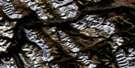
Calgary Satellite Image Map
Download Free Aerial Photo 082O01 at 1:50,000 scale
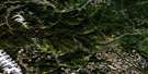
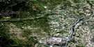
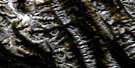
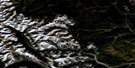
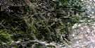
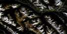
Calgary Satellite Imagery
To view this satellite map, mouse over the air photo on the right.
You can also download this satellite image map for free:
082O01 Calgary high-resolution satellite image map.
Maps for the Calgary aerial map sheet 082O01 at 1:50,000 scale are also available in these versions:
Calgary Surrounding Area Aerial Photo Maps
 |
 |
 |
 |
 |
 |
 |
 |
 |
 |
 |
 |
 |
 |
 |
 |
© Department of Natural Resources Canada. All rights reserved.
Calgary Gazetteer
The following places can be found on satellite image map 082O01 Calgary:
Calgary Satellite Image: City
CalgaryCalgary Satellite Image: Indian Reserves
Réserve indienne Sarcee 145Sarcee Indian Reserve 145
Tsuu T'ina Nation 145
Calgary Satellite Image: Islands
Prince IslandSt. Andrew Island
St. George Island
St. Patrick Island
Calgary Satellite Image: Lakes
Cochrane LakeGlenbow Lake
Glenmore Reservoir
Calgary Satellite Image: Mountains
Big HillCairn Hill
Nose Hill
Rocky Mountain Foothills
Spy Hill
Towers Ridge
Willindon Hill
Willingdon Hill
Calgary Satellite Image: Major municipal/district area - major agglomerations
Municipal District of Rocky View No. 44Rocky View County
Calgary Satellite Image: Conservation areas
Big Hill Springs Provincial ParkCochrane Ranche Provincial Historic Site (Developed)
Glenbow Ranch Provincial Park
Inglewood Bird Sanctuary
Refuge d'oiseaux d'Inglewood
Rev. George McDougall Provincial Historic Site (Undeveloped)
Calgary Satellite Image: Rivers
Beddington CreekBeddington Creek
Bighill Creek
Bigspring Creek
Bow River
Cullen Creek
Elbow River
Harris Creek
Jumpingpound Creek
Lott Creek
May Creek
Millburn Creek
Nose Creek
Pirmez Creek
Springbank Creek
West Nose Creek
Calgary Satellite Image: Towns
CochraneCalgary Satellite Image: Unincorporated areas
AltadoreArbour Lake
Balzac
Banff Trail
Bankview
Bearspaw
Beddington
Beddington Heights
Bel-Aire
Bowness
Brentwood
Brickburn
Bridgeland
Britannia
Cambrian Heights
Capitol Hill
Chinatown
Christie Park
Cinnamon Hills
Citadel
Cliff Bungalow
Coach Hill
Connaught
Country Hills
Country Hills Village
Coventry Hills
Crescent Heights
Dalhousie
Discovery Ridge
Dover
East Springbank
Eau Claire
Edgemont
Elbow Park
Elboya
Erlton
Glamorgan
Glenbow
Glenbrook
Glencoe
Glendale
Greenview
Hamptons
Harvest Hills
Hawkwood
Hidden Valley
Highland Park
Highwood
Hillhurst
Huntington Hills
Inglewood
Keith
Lakeview
Lower Mount Royal
MacEwan
Manchester
Mayland Heights
Mission
Montgomery
Montgomery
Mount Pleasant
North Glenmore Park
North Haven
North Haven Upper
Ogden
Panorama Hills
Parkdale
Parkdale
Patterson
Pirmez Creek
Point McKay
Queens Park Village
Ramsay
Ranchlands
Renfrew
Richmond
Rideau Park
Robertson
Rocky Ridge
Rosemont
Rosscarrock
Roxboro
Royal Oak
Rutland Park
Sandstone Valley
Scarboro
Scenic Acres
Shaganappi
Signal Hill
Silver Springs
Simons Valley
South Calgary
Spruce Cliff
St. Andrews Heights
Strathcona Park
Sunalta
Sunnyside
Thorncliffe
Triwood
Tuscany
Tuxedo Park
University Heights
Upper Mount Royal
Valley Ridge
Varsity
Victoria Park
Vista Heights
West Hillhurst
Westgate
Wildwood
Windsor Park
Calgary Satellite Image: Valleys
Shannon Coulee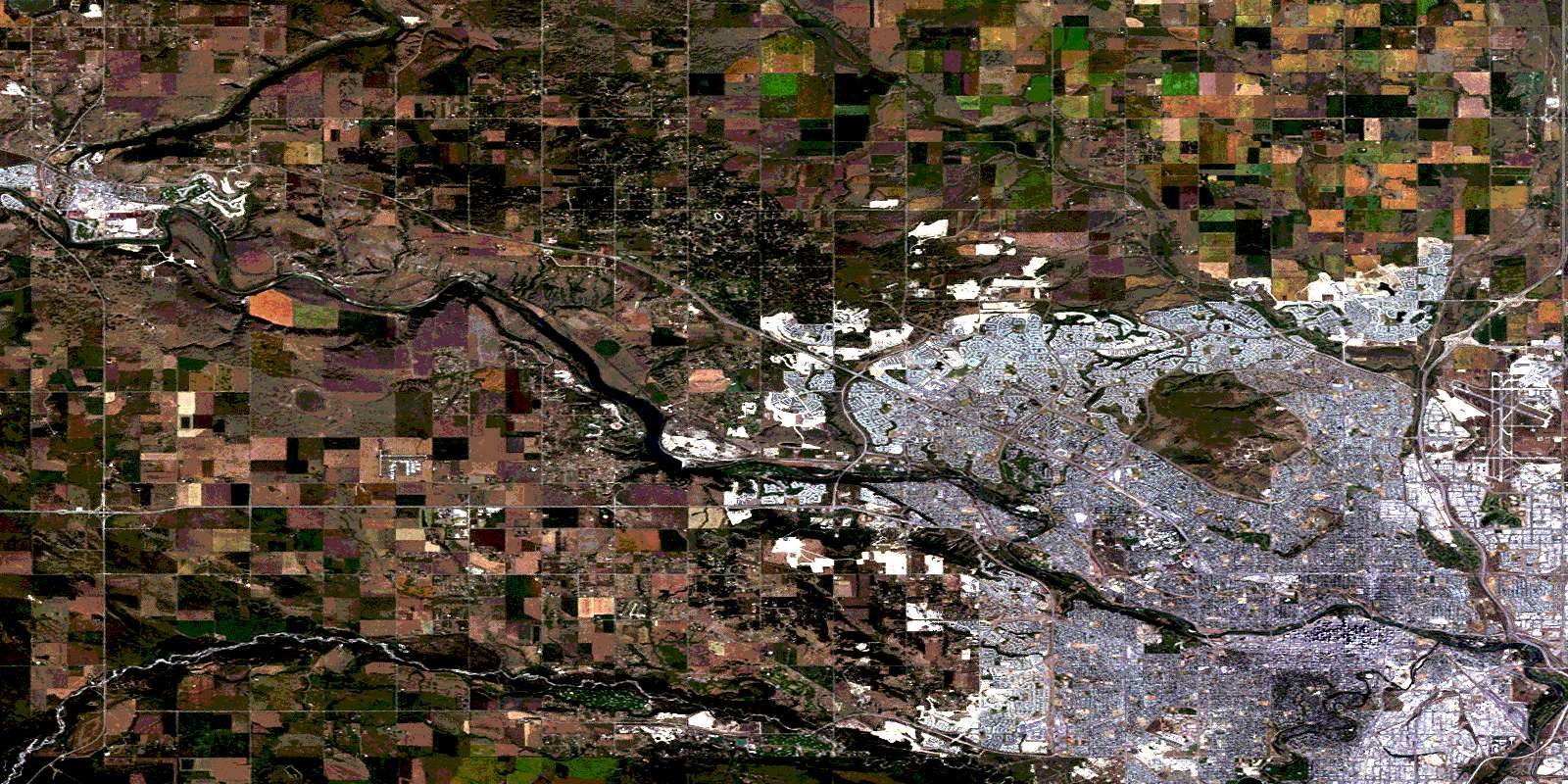
© Department of Natural Resources Canada. All rights reserved.
082O Related Maps:
082O Calgary082O01 Calgary
082O02 Jumpingpound Creek
082O03 Canmore
082O04 Banff
082O05 Castle Mountain
082O06 Lake Minnewanka
082O07 Wildcat Hills
082O08 Crossfield
082O09 Didsbury
082O10 Fallentimber
082O11 Burnt Timber Creek
082O12 Barrier Mountain
082O13 Forbidden Creek
082O14 Limestone Mountain
082O15 Sundre
082O16 Olds
