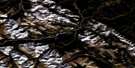
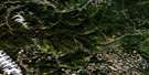
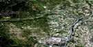
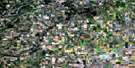
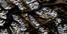
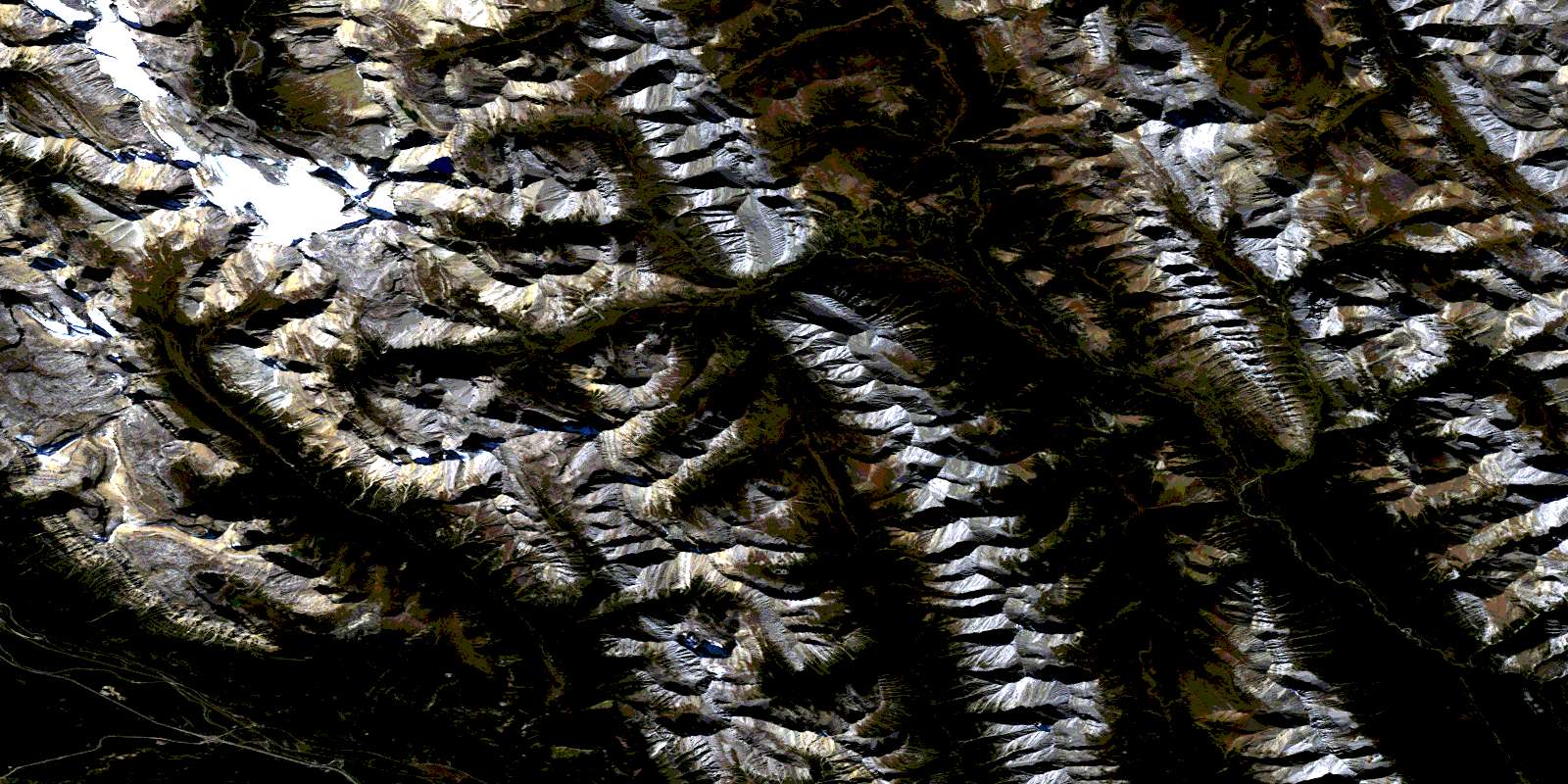
Castle Mountain Satellite Image Map
Download Free Aerial Photo 082O05 at 1:50,000 scale
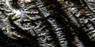
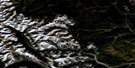
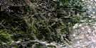
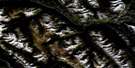
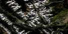
Castle Mountain Satellite Imagery
To view this satellite map, mouse over the air photo on the right.
You can also download this satellite image map for free:
082O05 Castle Mountain high-resolution satellite image map.
Maps for the Castle Mountain aerial map sheet 082O05 at 1:50,000 scale are also available in these versions:
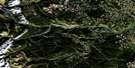
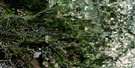
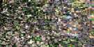
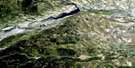
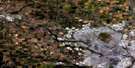
Castle Mountain Surrounding Area Aerial Photo Maps
 |
 |
 |
 |
 |
 |
 |
 |
 |
 |
 |
 |
 |
 |
 |
 |
© Department of Natural Resources Canada. All rights reserved.
Castle Mountain Gazetteer
The following places can be found on satellite image map 082O05 Castle Mountain:
Castle Mountain Satellite Image: Glaciers
Bonnet GlacierGwendolyn Glacier
Trifid Glacier
Castle Mountain Satellite Image: Lakes
Alfred LakeBighorn Lake
Block Lakes
Copper Lake
Cuthead Lake
Donald Lake
Eisenhower Lakes
Elk Lake
Goat Lake
Gwendolyn Lake
Luellen Lake
Mystic Lake
Panther Lake
Rainbow Lake
Rockbound Lake
Sawback Lake
Smith Lake
Tower Lake
Wigmore Lake
Wildflower Lake
Castle Mountain Satellite Image: Mountains
Block MountainBonnet Peak
Camp's Head
Cascade Mountain
Castle Mountain
Eisenhower Peak
Flints Peak
Helena Ridge
Lychnis Mountain
Montagnes Rocheuses
Mount Avens
Mount Eisenhower
Mount Ishbel
Mount James Walker
Palliser Range
Protection Mountain
Pulsatilla Mountain
Rocky Mountains
Sawback Range
Stuart Knob
Tilted Mountain
Vermilion Range
Vermillion Range
Castle Mountain Satellite Image: Major municipal/district area - major agglomerations
Municipal District of Bighorn No. 8Castle Mountain Satellite Image: Other municipal/district area - miscellaneous
Improvement District No. 9Castle Mountain Satellite Image: Conservation areas
Banff National Park of CanadaParc national du Canada Banff
Castle Mountain Satellite Image: Rivers
Altrude CreekBow River
Cascade River
Cuthead Creek
Dormer River
Douglas Creek
Flints Creek
Forty Mile Creek
Johnston Creek
North Cascade River
Panther River
Sawback Creek
Silverton Creek
Stony Creek
Wigmore Creek
Wildflower Creek
Castle Mountain Satellite Image: Springs
Ink PotsCastle Mountain Satellite Image: Unincorporated areas
Castle JunctionCastle Mountain
Castle Mountain Satellite Image: Valleys
Badger PassDormer Pass
Flints Park
Forty Mile Summit
Halstead Pass
Johnston Canyon
Mystic Pass
Pulsatilla Pass
Ranger Canyon
Stewart Canyon
Valley of the Hidden Lakes
© Department of Natural Resources Canada. All rights reserved.
082O Related Maps:
082O Calgary082O01 Calgary
082O02 Jumpingpound Creek
082O03 Canmore
082O04 Banff
082O05 Castle Mountain
082O06 Lake Minnewanka
082O07 Wildcat Hills
082O08 Crossfield
082O09 Didsbury
082O10 Fallentimber
082O11 Burnt Timber Creek
082O12 Barrier Mountain
082O13 Forbidden Creek
082O14 Limestone Mountain
082O15 Sundre
082O16 Olds
