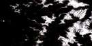
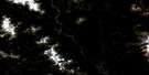
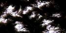
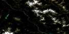
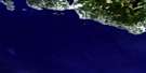
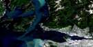
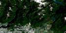
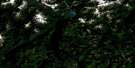
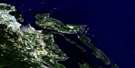
Squamish Satellite Image Map
Download Free Aerial Photo 092G11 at 1:50,000 scale
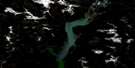
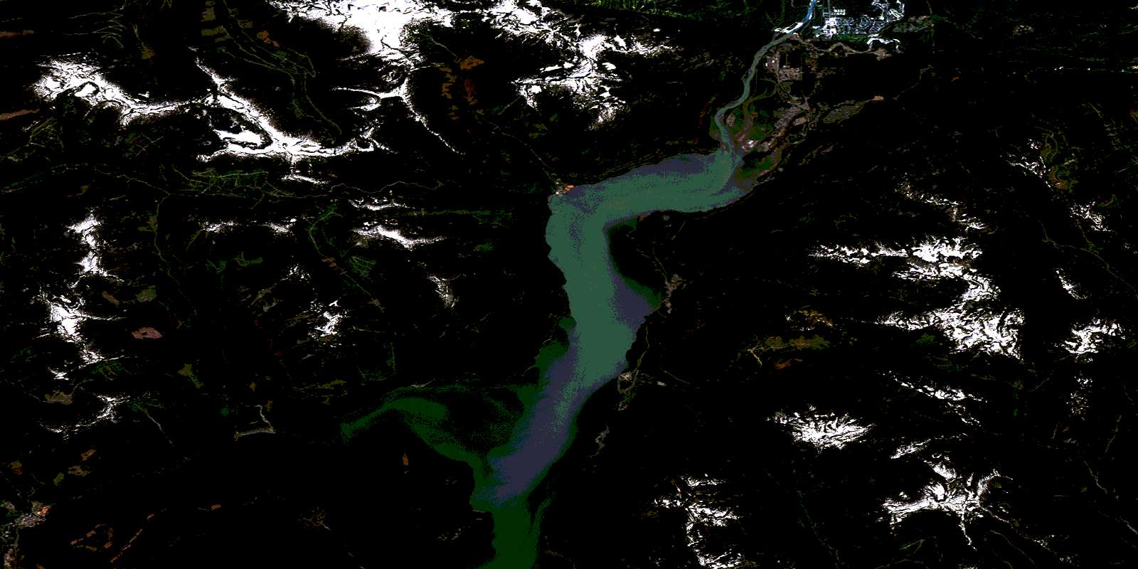
Squamish Satellite Imagery
To view this satellite map, mouse over the air photo on the right.
You can also download this satellite image map for free:
092G11 Squamish high-resolution satellite image map.
Maps for the Squamish aerial map sheet 092G11 at 1:50,000 scale are also available in these versions:
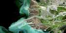
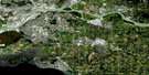
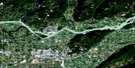
Squamish Surrounding Area Aerial Photo Maps
 |
 |
 |
 |
 |
 |
 |
 |
 |
 |
 |
 |
 |
 |
 |
 |
© Department of Natural Resources Canada. All rights reserved.
Squamish Gazetteer
The following places can be found on satellite image map 092G11 Squamish:
Squamish Satellite Image: Bays
Darrell BayDouglas Bay
Plowden Bay
Porteau Cove
Squamish Harbour
Zorro Bay
Squamish Satellite Image: Capes
Brunswick PointDaybreak Point
Domett Point
Ekins Point
Elkins Point
Irby Point
Watts Point
Squamish Satellite Image: Channels
Latona PassageMamquam Blind Channel
Montagu Channel
Ramillies Channel
Squamish Satellite Image: District municipality
SquamishSquamish Satellite Image: Falls
Phi Alpha FallsShannon Falls
Squamish Satellite Image: Geographical areas
New Westminster Land DistrictSquamish Satellite Image: Indian Reserves
Defence Island Indian Reserve 28Kaikalahun Indian Reserve 25
Kowtain Indian Reserve 17
Kwum Kwum Indian Reserve
Réserve indienne Defence Island 28
Réserve indienne Kaikalahun 25
Réserve indienne Kowtain 17
Réserve indienne Kwum Kwum
Réserve indienne Stawamus 24
Réserve indienne Yekwaupsum 18
Réserve indienne Yekwaupsum 19
Stawamus Indian Reserve 24
Yekwaupsum Indian Reserve 18
Yekwaupsum Indian Reserve 19
Squamish Satellite Image: Islands
Anvil IslandChristie Islet
Defence Islands
Gambier Island
Woolridge Island
Squamish Satellite Image: Lakes
Alec LakeBell-Irving Lake
Beth Lake
Bingham Lake
Brennan Lakes
Browning Lake
Clarion Lake
Clowhom Lake
Clowhom Lakes
Condor Lake
Deeks Lake
Deeks Lakes
Delta Lake
Echo Lake
Gambier Lake
Gordan Lake
Henriette Lake
Linnet Lake
Loch Lomond
Louie Lake
Macklin Lake
Marion Lake
Mountain Lake
Omer Lake
Orchid Lake
Park Lane Lake
Peacock Lake
Petgill Lake
Phyllis Lake
Raven Lake
Scott Lake
Sechelt Lake
Slippery Lake
Smithe Lake
Stawamus Lake
Sylvia Lake
Taquat Lakes
Utopia Lake
Wind Lake
Woodfibre Lake
Squamish Satellite Image: Mountains
Appian MountainBen Lomond
Ben Lomond Mountain
Britannia Range
Capilano Mountain
Chaîne Côtière
Coast Mountains
Deeks Peak
Fannin Mountains
Fannin Range
Goat Ridge
Leading Peak
Ledge Mountain
Mount Baldwin
Mount Conybeare
Mount Donaldson
Mount Ellesmere
Mount Habrich
Mount Hanover
Mount Lapworth
Mount Mulligan
Mount Murchison
Mount Roderick
Mount Sedgwick
Mount Sheer
Mount Varley
Mount Windsor
Mount Wrottesley
Pacific Ranges
Red Mountain
Sheer Mountain
Sky Pilot Mountain
Stawamus Chief Mountain
Tantalus Range
The Copilot
Thirtynine Mountain
Squamish Satellite Image: Conservation areas
Christie Islet Bird SanctuaryCypress Park
Garibaldi Park
Murrin Park
Porteau Cove Marine Park
Porteau Cove Park
Shannon Falls Park
Stawamus Chief Park
Squamish Satellite Image: Rivers
Andrews CreekBain Creek
Balfour Creek
Bertram Creek
Beth Creek
Box Canyon Creek
Britannia Creek
Capilano Creek
Capilano River
Champside Creek
Clipper Creek
Cyrtina Creek
Daisy Creek
Dakota Creek
Daniels Creek
Deeks Creek
Dempster Creek
Downing Creek
Eastcap Creek
Ellesmere Creek
Empress Creek
Foulger Creek
Fries Creek
Furry Creek
Gambier Creek
Gilt Creek
Gonzales Creek
Gordan Creek
Hanover Creek
Henriette Creek
Hutchinson Creek
Indian River
Jane Creek
Kallahne Creek
Loggers Creek
Mamquam River
Marmot Creek
Mashiter Creek
McNab Creek
McNair Creek
Mill Creek
Mineral Creek
Monmouth Creek
Olesen Creek
Omer Creek
Orchid Creek
Phyllis Creek
Potlatch Creek
Raffuse Creek
Rainy River
Ray Creek
Ring Creek
Roy Creek
Sechelt Creek
Seechelt Creek
Seymour Creek
Seymour River
Shannon Creek
Sheba Creek
Sky Pilot Creek
Slippery Creek
Squamish River
Stawamus River
Stolterfoht Creek
Taquat Creek
Thistle Creek
Windsor Creek
Woodfibre Creek
Squamish Satellite Image: Unincorporated areas
Anvil IslandBritannia
Britannia Beach
Darrell Bay
Dentville
Ekins Point
Elkins Point
Furry Creek
Furry Creek
Garibaldi Estates
Garibaldi Highlands
Glen Eden
Hillside
Hospital Hill
Longview
McNab Creek
Minaty Bay
Mount Sheer
Northridge
Oliver's Landing
Port Mellon
Porteau
Seaside Park
Shannon
Squamish Dock Station
Valleycliffe
Woodfibre
© Department of Natural Resources Canada. All rights reserved.
092G Related Maps:
092G Vancouver092G01 Mission
092G02 New Westminster
092G03 Lulu Island
092G04 Nanaimo
092G05 Sechelt
092G06 North Vancouver
092G07 Port Coquitlam
092G08 Stave Lake
092G09 Stave River
092G10 Pitt River
092G11 Squamish
092G12 Sechelt Inlet
092G13 Jervis Inlet
092G14 Cheakamus River
092G15 Mamquam Mountain
092G16 Glacier Lake
