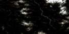
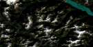
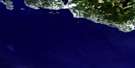
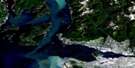
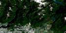
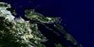
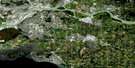
Sechelt Inlet Satellite Image Map
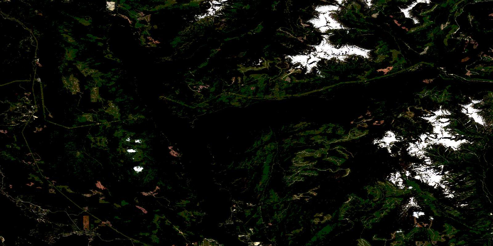
Download Free Aerial Photo 092G12 at 1:50,000 scale
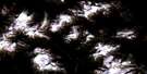
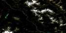
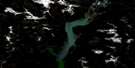
Sechelt Inlet Satellite Imagery
To view this satellite map, mouse over the air photo on the right.
You can also download this satellite image map for free:
092G12 Sechelt Inlet high-resolution satellite image map.
Maps for the Sechelt Inlet aerial map sheet 092G12 at 1:50,000 scale are also available in these versions:
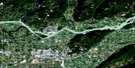
Sechelt Inlet Surrounding Area Aerial Photo Maps
 |
 |
 |
 |
 |
 |
 |
 |
 |
 |
 |
 |
 |
 |
 |
 |
© Department of Natural Resources Canada. All rights reserved.
Sechelt Inlet Gazetteer
The following places can be found on satellite image map 092G12 Sechelt Inlet:
Sechelt Inlet Satellite Image: Bays
Brooks CoveBuccaneer Bay
Frenchmans Cove
Gustafson Bay
Gustavson Bay
Halfmoon Bay
Lyons Cove
Misery Bay
Narrows Arm
Narrows Inlet
Ole's Cove
Pender Harbour
Porpoise Bay
Priestland Cove
Salmon Arm
Salmon Inlet
Sechelt Inlet
Secret Bay
Secret Cove
Seechelt Inlet
Smuggler Cove
Snake Bay
Square Bay
Storm Bay
Tillicum Bay
Wood Bay
Sechelt Inlet Satellite Image: Capes
Carlson PointCawley Point
Chum Point
Derby Point
Four Mile Point
Fourmile Point
Highland Point
Jeddah Point
Kunechin Point
Mid Point
Newcomb Point
Nine Mile Point
Ninemile Point
Oaks Point
Piper Point
Roland Point
Sechelt Peninsula
Seechelt Peninsula
Skaiakos Point
Sockeye Point
Spípiyus Point
Steelhead Point
Thornhill Point
Tuwanek Point
Tzoonie Point
Wilbraham Point
Sechelt Inlet Satellite Image: Channels
Malaspina StraitSkookumchuck Narrows
Tzoonie Narrows
Welcome Pass
Welcome Passage
Sechelt Inlet Satellite Image: Cliffs
Black Bear BluffSechelt Inlet Satellite Image: District municipality
SecheltSechelt Inlet Satellite Image: Indian Reserves
Boulder Island Indian Reserve 25Klaalth Indian Reserve 5
Oalthkyim Indian Reserve 4
Réserve indienne Boulder Island 25
Réserve indienne Klaalth 5
Réserve indienne Oalthkyim 4
Réserve indienne Shannon Creek 28
Réserve indienne Skookumchuck 27
Réserve indienne Smeshalin 18
Réserve indienne Tchahchelailthtenum 10
Shannon Creek Indian Reserve 28
Skookumchuck Indian Reserve 27
Smeshalin Indian Reserve 18
Tchahchelailthtenum Indian Reserve 10
Sechelt Inlet Satellite Image: Islands
Boom IsletFrance Islet
Grant Island
Halfway Islet
Isle Capri
Jack Tolmie Island
Kunechin Islets
Lamb Islets
North Thormanby Island
Rapid Islet
Sechelt Islets
Seechelt Islets
Skookum Island
South Thormanby Island
Surrey Islands
Thormanby Islands
Turnagain Island
Sechelt Inlet Satellite Image: Lakes
Batchelor LakeBrown Lake
Carlson Lake
Chapman Lake
Clowhom Lake
Clowhom Lakes
Crowston Lake
Edwards Lake
Gilbert Lake
Halfmoon Bay Lake
Harris Lake
Irvine Lake
Killarney Lake
Klein Lake
Lyon Lake
McNeill Lake
North Lake
Richardson Lake
Ruby Lake
Sakinaw Lake
Tannis Lake
Trout Lake
Waugh Lake
Sechelt Inlet Satellite Image: Mountains
Caren RangeChaîne Côtière
Coast Mountains
Colquhoun Peak
Earle Range
Mount Crucil
Mount Hallowell
Mount Irvine
Mount Richardson
Mount Steele
Pacific Ranges
Panther Peak
Spípiyus Peak
Tetrahedron Peak
Sechelt Inlet Satellite Image: Other municipal/district area - miscellaneous
Boulder Island SB 25Klaalth SB 5
Oalthkyim SB 4
Shannon Creek SB 28
Skookumchuck SB 27
Smeshalin SB 18
Tchahchelailthtenum SB 10
Sechelt Inlet Satellite Image: Conservation areas
Garden Bay Marine ParkMount Richardson Park
Porpoise Bay Park
Sechelt Inlets Marine Park
Sechelt Inlets Marine Recreation Area
Simson Marine Park
Simson Park
Skookumchuck Narrows Park
Skookumchuck Park
Smuggler Cove Marine Park
Spipiyus Park
Tetrahedron Park
Sechelt Inlet Satellite Image: Rapids
Sechelt RapidsSeechelt Rapids
Sechelt Inlet Satellite Image: Rivers
Anderson CreekAngus Creek
Bear Creek
Burnet Creek
Burnett Creek
Carlson Creek
Chapman Creek
Clowhom River
Dakota Creek
Earle Creek
Gray Creek
Halfmoon Creek
Haslam Creek
Homesite Creek
Irvine Creek
Kenyon Creek
Klein Creek
Kleindale Creek
McNair Creek
Misery Creek
Myers Creek
Rainy River
Ruby Creek
Sechelt Creek
Seechelt Creek
Silversands Creek
Storm Creek
Thornhill Creek
Wakefield Creek
Sechelt Inlet Satellite Image: Shoals
Four Mile ShoalFourmile Shoal
Tattenham Ledge
Sechelt Inlet Satellite Image: Unincorporated areas
DoristonEgmont
Halfmoon Bay
Kleindale
Redroofs
Sechelt Indian Government District
Secret Cove
Tuwanek
Vaucroft
Vaucroft Beach
© Department of Natural Resources Canada. All rights reserved.
092G Related Maps:
092G Vancouver092G01 Mission
092G02 New Westminster
092G03 Lulu Island
092G04 Nanaimo
092G05 Sechelt
092G06 North Vancouver
092G07 Port Coquitlam
092G08 Stave Lake
092G09 Stave River
092G10 Pitt River
092G11 Squamish
092G12 Sechelt Inlet
092G13 Jervis Inlet
092G14 Cheakamus River
092G15 Mamquam Mountain
092G16 Glacier Lake
