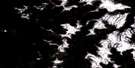
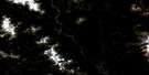
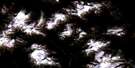
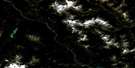
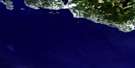
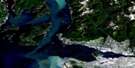
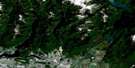
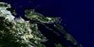
Stave River Satellite Image Map
Download Free Aerial Photo 092G09 at 1:50,000 scale
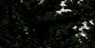
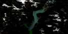
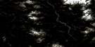
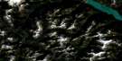
Stave River Satellite Imagery
To view this satellite map, mouse over the air photo on the right.
You can also download this satellite image map for free:
092G09 Stave River high-resolution satellite image map.
Maps for the Stave River aerial map sheet 092G09 at 1:50,000 scale are also available in these versions:
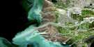
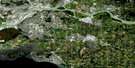
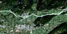
Stave River Surrounding Area Aerial Photo Maps
 |
 |
 |
 |
 |
 |
 |
 |
 |
 |
 |
 |
 |
 |
 |
 |
© Department of Natural Resources Canada. All rights reserved.
Stave River Gazetteer
The following places can be found on satellite image map 092G09 Stave River:
Stave River Satellite Image: Bays
Five Mile BayTodd Bay
Stave River Satellite Image: Glaciers
Terrarosa GlacierStave River Satellite Image: Indian Reserves
Douglas Indian Reserve 8Réserve indienne Douglas 8
Stave River Satellite Image: Lakes
Harrison LakeJudicator Lake
Kinnear Lake
Statlu Lake
Thomas Lake
Tingle Lake
Tretheway Lake
Winslow Lake
Stave River Satellite Image: Mountains
Ashes PeakChaîne Côtière
Coast Mountains
Grainger Peak
Lillooet Range
Lillooet Ranges
Mount Clarke
Mount Glendinning
Mount Judge Howay
Mount Lamont
Mount Thirsk
Nursery Peak
Pacific Ranges
Recourse Peak
Robertson Peak
Viennese Peak
Stave River Satellite Image: Major municipal/district area - major agglomerations
Dewdney-Alouette Regional DistrictFraser Valley Regional District
Regional District of Fraser-Cheam
Stave River Satellite Image: Conservation areas
Garibaldi ParkGolden Ears Park
Mount Judge Howay Park
Mount Judge Howay Recreation Area
Stave River Satellite Image: Rivers
Bremner CreekChehalis River
Coon Creek
Doctors Creek
Eagle Creek
George Good Creek
Gurney Creek
Ironstone Creek
Kessler Creek
Kirkland Creek
Lamont Creek
Lillooet River
North Sloquet Creek
Purcell Creek
Sloquet Creek
South Sloquet Creek
Stave River
Stokke Creek
Stoney Creek
Tingle Creek
Tipella Creek
Tretheway Creek
Trio Creek
Vickers Creek
Winslow Creek
Stave River Satellite Image: Unincorporated areas
TipellaStave River Satellite Image: Valleys
Nursery Pass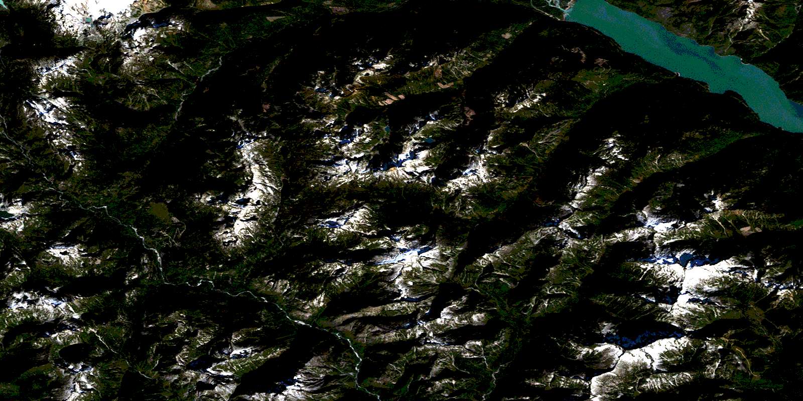
© Department of Natural Resources Canada. All rights reserved.
092G Related Maps:
092G Vancouver092G01 Mission
092G02 New Westminster
092G03 Lulu Island
092G04 Nanaimo
092G05 Sechelt
092G06 North Vancouver
092G07 Port Coquitlam
092G08 Stave Lake
092G09 Stave River
092G10 Pitt River
092G11 Squamish
092G12 Sechelt Inlet
092G13 Jervis Inlet
092G14 Cheakamus River
092G15 Mamquam Mountain
092G16 Glacier Lake
