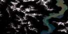
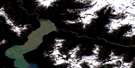
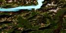
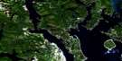
Knight Inlet Satellite Image Map
Download Free Aerial Photo 092K13 at 1:50,000 scale
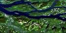
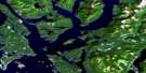
Knight Inlet Satellite Imagery
To view this satellite map, mouse over the air photo on the right.
You can also download this satellite image map for free:
092K13 Knight Inlet high-resolution satellite image map.
Maps for the Knight Inlet aerial map sheet 092K13 at 1:50,000 scale are also available in these versions:
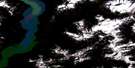
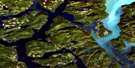
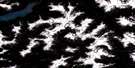
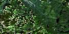
Knight Inlet Surrounding Area Aerial Photo Maps
 |
 |
 |
 |
 |
 |
 |
 |
 |
 |
 |
 |
 |
 |
 |
 |
© Department of Natural Resources Canada. All rights reserved.
Knight Inlet Gazetteer
The following places can be found on satellite image map 092K13 Knight Inlet:
Knight Inlet Satellite Image: Bays
Glacier BayKnight Inlet
Knight Inlet Satellite Image: Capes
Ahnuhati PointAxe Point
Cascade Point
Escape Point
Herries Point
Kwalate Point
Transit Head
Transit Point
Tsukola Point
Wahkash Point
Knight Inlet Satellite Image: Indian Reserves
Ahnuhati Indian Reserve 6Réserve indienne Ahnuhati 6
Knight Inlet Satellite Image: Lakes
Kakweiken LakeMatsiu Lake
Knight Inlet Satellite Image: Mountains
Bald PeakChaîne Côtière
Coast Mountains
Glacier Peak
Kitty Cone
Mount Dyer
Mount Francis
Mount Gilson
Mount Hills
Mount Kennedy
Mount Lang
Mount Magin
Mount Wakefield
Mount Watson
Mount Wood
Mount Young
Pacific Ranges
Spire Peaks
Three Finger Peak
Knight Inlet Satellite Image: Major municipal/district area - major agglomerations
Regional District of Mount WaddingtonKnight Inlet Satellite Image: Rivers
Ahnuhati RiverBolivar Creek
Cridge Creek
Hills Creek
Kakweiken River
Kwalate Creek
Matsiu Creek
McAlister Creek
Millerd Creek
Sallie Creek
Tanockteuch Creek
Three Finger Creek
Wahkash Creek
Knight Inlet Satellite Image: Valleys
Ahnuhati Valley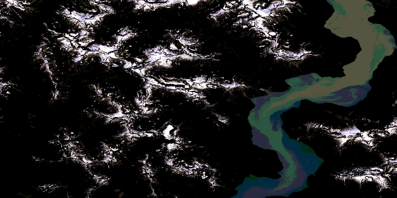
© Department of Natural Resources Canada. All rights reserved.
092K Related Maps:
092K Bute Inlet092K01 Powell Lake
092K02 Desolation Sound
092K03 Quadra Island
092K04 Brewster Lake
092K05 Sayward
092K06 Sonora Island
092K07 Toba Inlet
092K08 Little Toba River
092K09 Mount Argyll
092K10 Orford River
092K11 Phillips River
092K12 Glendale Cove
092K13 Knight Inlet
092K14 Stafford River
092K15 Southgate River
092K16 Mount Gilbert
