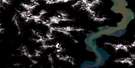
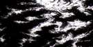
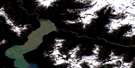
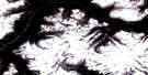
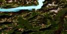
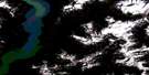
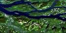
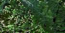
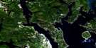
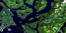
Sayward Satellite Image Map
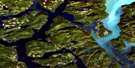
Download Free Aerial Photo 092K05 at 1:50,000 scale
Sayward Satellite Imagery
To view this satellite map, mouse over the air photo on the right.
You can also download this satellite image map for free:
092K05 Sayward high-resolution satellite image map.
Maps for the Sayward aerial map sheet 092K05 at 1:50,000 scale are also available in these versions:
Sayward Surrounding Area Aerial Photo Maps
 |
 |
 |
 |
 |
 |
 |
 |
 |
 |
 |
 |
 |
 |
 |
 |
© Department of Natural Resources Canada. All rights reserved.
Sayward Gazetteer
The following places can be found on satellite image map 092K05 Sayward:
Sayward Satellite Image: Bays
Bear BightBeaver Inlet
Bendickson Harbour
Bessborough Bay
Billygoat Bay
Blenkinsop Bay
Blinkinsop Bay
Brasseau Bay
Butterfly Bay
Douglas Bay
Forward Harbour
Hkusam Bay
Humpback Bay
Kelsey Bay
Knox Bay
Little Bear Bay
Loughborough Inlet
McLeod Bay
Nichols Bay
Palmer Bay
Salmon Bay
Topaze Harbour
Vere Cove
Sayward Satellite Image: Capes
Althorp PointBear Point
Blanche Point
Camp Point
Carterer Point
Cust Point
D'Arcy Point
Dennie Point
Eden Point
Edith Point
Edward Point
Fittleton Point
Florence Point
Geneste Point
Graveyard Point
Greene Point
Grismond Point
Gunner Point
Hardwicke Point
Horace Point
Louis Point
Louisa Point
Margaret Point
Maud Point
Mayne Point
Needham Point
Point Tuna
Ripple Point
Robson Point
Rock Point
Scottys Point
Shaw Point
Shorter Point
Styles Point
Termagant Point
Thynne Peninsula
Thynne Point
Tucker Point
Tuna Point
Tyee Point
Vansittart Point
Sayward Satellite Image: Channels
Chancellor ChannelCordero Channel
Current Passage
Johnstone Strait
Mayne Passage
Race Passage
Sunderland Channel
Wellbore Channel
Sayward Satellite Image: Glaciers
Pembroke RangeSayward Satellite Image: Indian Reserves
Matlaten Indian Reserve 4Réserve indienne Matlaten 4
Réserve indienne Salmon River 1
Salmon River Indian Reserve 1
Sayward Satellite Image: Islands
Artillery IsletsBlack Island
Bulkely Island
Clarence Island
Cordero Islands
East Thurlow Island
Fanny Island
Griffiths Island
Griffiths Islet
Hardwicke Island
Helmcken Island
Île de Vancouver
Lyall Island
Mary Island
Midgham Islet
Midgham Islets
Murray Island
Peterson Islet
Poyntz Island
Seymour Island
Thurlow Islands
Vancouver Island
Walkem Islands
West Thurlow Island
Yorke Island
Sayward Satellite Image: Lakes
Alpheus LakeAudrey Lake
Lihou Lake
Lower Stella Lake
Mackie Lake
McCreight Lake
Pye Lake
Santa Maria Lake
Seabird Lake
Stella Lake
Sunday Lake
Tlowils Lake
Woolloomooloo Lake
Wooloomooloo Lake
Sayward Satellite Image: Mountains
Craven HillFranklin Range
Franklyn Range
Halifax Range
High Rigger
Hkusam Mountain
Knox Hill
Mount Bradshaw
Mount Clarence
Mount Egremont
Mount Frederick
Mount George
Mount Harewood
Mount Hkusam
Mount Kitchener
Mount Lascelles
Mount Milner
Mount Roberts
Mount Royston
Mount Vansittart
Mount Yorke
Needle Peaks
Paget Cone
Prince of Wales Range
Solitary Mountain
Sparks Cone
Town Hill
Tripp Hill
Valley Cone
Vancouver Island Mountains
Vancouver Island Ranges
Wharncliffe Range
Sayward Satellite Image: Major municipal/district area - major agglomerations
Regional District of Comox-StrathconaRegional District of Mount Waddington
Sayward Satellite Image: Rivers
Amor de Cosmos CreekAmor De Cosmos Creek
Bigtree Creek
Browning Creek
Dalrymple Creek
Elk Creek
Fagan Creek
Galvani Creek
Gauvin Creek
Hamersley Creek
Pye Creek
Roberts Creek
Salmon River
South Elk Creek
Springer Creek
Stowe Creek
Sunday Creek
Tuna River
White River
Wortley Creek
Sayward Satellite Image: Sea features
Greene Point RapidsWhirlpool Rapids
Sayward Satellite Image: Shoals
Dickson ShoalDorothy Rock
Earl Ledge
Ivanhoe Rock
Ripple Shoal
Speaker Rock
Sayward Satellite Image: Unincorporated areas
Blind ChannelHardwicke Island
Hkusam
Kelsey Bay
Sayward Satellite Image: Villages
Sayward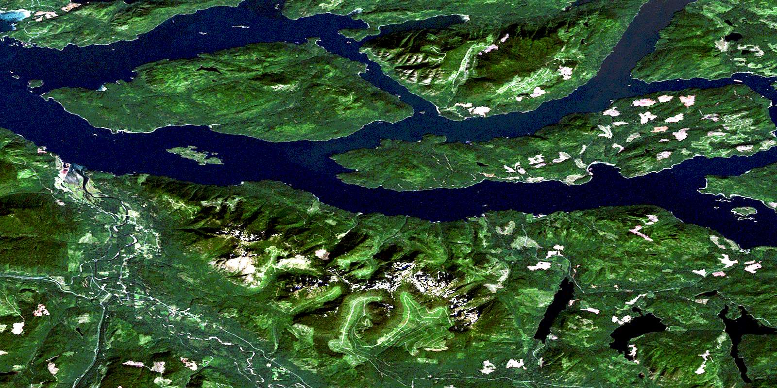
© Department of Natural Resources Canada. All rights reserved.
092K Related Maps:
092K Bute Inlet092K01 Powell Lake
092K02 Desolation Sound
092K03 Quadra Island
092K04 Brewster Lake
092K05 Sayward
092K06 Sonora Island
092K07 Toba Inlet
092K08 Little Toba River
092K09 Mount Argyll
092K10 Orford River
092K11 Phillips River
092K12 Glendale Cove
092K13 Knight Inlet
092K14 Stafford River
092K15 Southgate River
092K16 Mount Gilbert
