
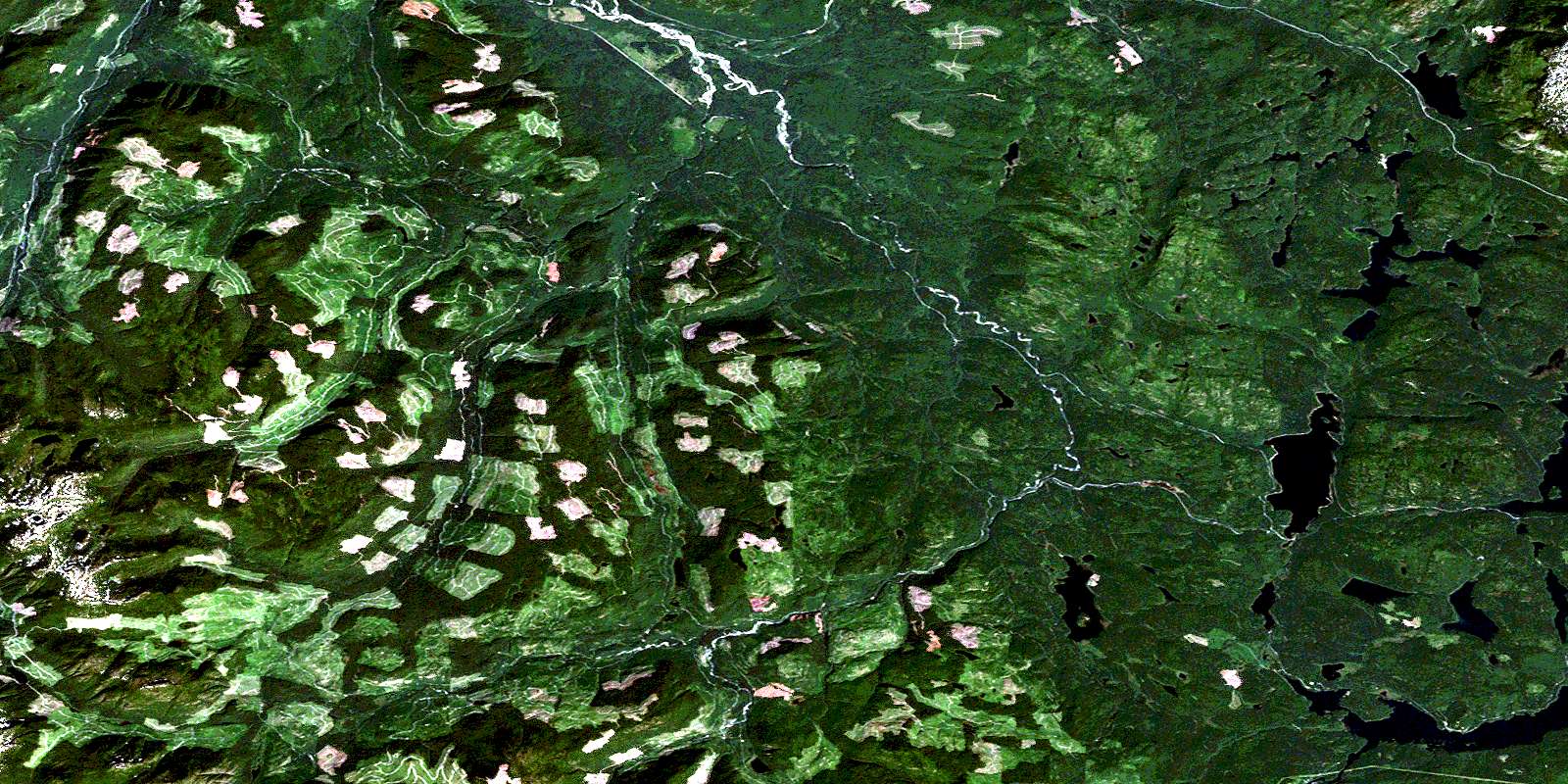
Brewster Lake Satellite Image Map
Download Free Aerial Photo 092K04 at 1:50,000 scale
Brewster Lake Satellite Imagery
To view this satellite map, mouse over the air photo on the right.
You can also download this satellite image map for free:
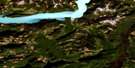
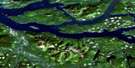
092K04 Brewster Lake high-resolution satellite image map.
Maps for the Brewster Lake aerial map sheet 092K04 at 1:50,000 scale are also available in these versions:
Brewster Lake Surrounding Area Aerial Photo Maps
 |
 |
 |
 |
 |
 |
 |
 |
 |
 |
 |
 |
 |
 |
 |
 |
© Department of Natural Resources Canada. All rights reserved.
Brewster Lake Gazetteer
The following places can be found on satellite image map 092K04 Brewster Lake:
Brewster Lake Satellite Image: Geographical areas
Sayward Land DistrictBrewster Lake Satellite Image: Islands
Île de VancouverVancouver Island
Brewster Lake Satellite Image: Lakes
Amor LakeBear Lake
Beaver Lake
Blackwater Lake
Bodil Lake
Boot Lake
Bootfrog Lake
Brewster Lake
Camp Lake
Campbell Lake
Cecil Lake
Cedar Lake
Chain Lake
Chetwood Lake
Comida Lake
Cooper Lake
Crescent Lake
Deer Lake
Duck Lake
Farewell Lake
First Lake
Frog Lake
Fry Lake
Garrett Lake
George's Lake
Gosling Lake
Grace Lake
Gray Lake
Hayes Lake
Higgens Lake
Higgins Lake
Ingeborg Lake
Jessie Lake
Kathleen Lake
Lawier Lake
Lawson Lake
Little Mud Lake
Marilou Lake
Martha Lake
McDougal Lake
McNair Lake
Merrill Lake
Mohun Lake
Mud Lake
Muskeg Lake
Paterson Lake
Pinter Lake
Roberts Lake
Seal Lake
Second Lake
Spirit Lake
Stewart Lake
Surprise Lake
Swamp Lake
Third Lake
Twin Lake
Welcome Lake
Whymper Lake
Brewster Lake Satellite Image: Mountains
Vancouver Island MountainsVancouver Island Ranges
Brewster Lake Satellite Image: Major municipal/district area - major agglomerations
Regional District of Comox-StrathconaBrewster Lake Satellite Image: Conservation areas
Strathcona ParkBrewster Lake Satellite Image: Rivers
Amor de Cosmos CreekAmor De Cosmos Creek
Bear Creek
Bigtree Creek
Campbell River
Cooper Creek
Crowned Creek
Greenstone Creek
Grilse Creek
Kay Creek
Little Memekay River
Marilou Creek
Memekay River
Middle Memekay River
North Memekay River
Roberts Creek
Rock Creek
Salmon River
West Salmon River
White River
© Department of Natural Resources Canada. All rights reserved.
092K Related Maps:
092K Bute Inlet092K01 Powell Lake
092K02 Desolation Sound
092K03 Quadra Island
092K04 Brewster Lake
092K05 Sayward
092K06 Sonora Island
092K07 Toba Inlet
092K08 Little Toba River
092K09 Mount Argyll
092K10 Orford River
092K11 Phillips River
092K12 Glendale Cove
092K13 Knight Inlet
092K14 Stafford River
092K15 Southgate River
092K16 Mount Gilbert

 Newsletter Sign-up


