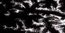
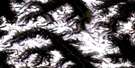
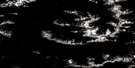
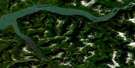
Port Essington Satellite Image Map
Download Free Aerial Photo 103I04 at 1:50,000 scale
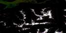
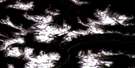
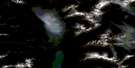
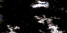
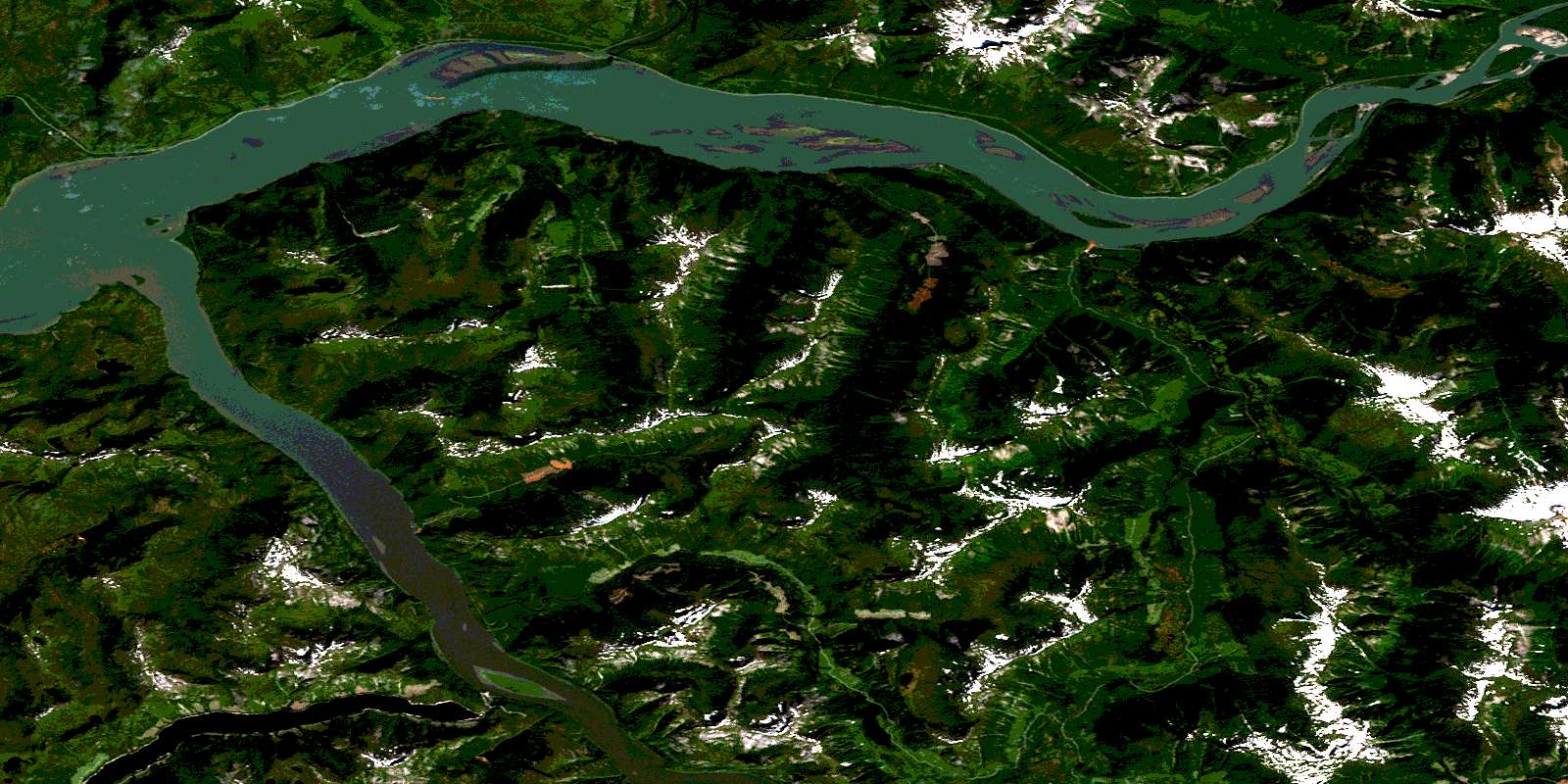
Port Essington Satellite Imagery
To view this satellite map, mouse over the air photo on the right.
You can also download this satellite image map for free:
103I04 Port Essington high-resolution satellite image map.
Maps for the Port Essington aerial map sheet 103I04 at 1:50,000 scale are also available in these versions:
Port Essington Surrounding Area Aerial Photo Maps
 |
 |
 |
 |
 |
 |
 |
 |
 |
 |
 |
 |
 |
 |
 |
 |
© Department of Natural Resources Canada. All rights reserved.
Port Essington Gazetteer
The following places can be found on satellite image map 103I04 Port Essington:
Port Essington Satellite Image: Capes
Aberdeen PointCarthew Point
Granulite Point
Hotspring Point
Khyex Point
McLean Point
Snag Point
Telegraph Point
Windsor Point
Port Essington Satellite Image: Cliffs
Raspberry BluffPort Essington Satellite Image: Indian Reserves
Imkusiyan Indian Reserve 65Imkusiyan Indian Reserve 66
Khtahda Indian Reserve 10
Khyex Indian Reserve 8
Kilcutseen Indian Reserve 9
Port Essington Indian Reserve
Réserve indienne Imkusiyan 65
Réserve indienne Imkusiyan 66
Réserve indienne Khtahda 10
Réserve indienne Khyex 8
Réserve indienne Kilcutseen 9
Réserve indienne Port Essington
Réserve indienne Scuttsap 11
Réserve indienne Scuttsap 11A
Scuttsap Indian Reserve 11
Scuttsap Indian Reserve 11A
Port Essington Satellite Image: Islands
Ayton IslandCarnation Island
Ecstall Island
Raspberry Islands
Selma Island
Port Essington Satellite Image: Lakes
Beaver LakeBig Falls Lake
Brown Lake
Cunningham Lake
Davis Lake
Hayward Lake
Khtada Lake
McKnight Lake
Orde Slough
Port Essington Satellite Image: Mountains
Balmoral PeakChaîne Côtière
Coast Mountains
Kitimat Ranges
Morrison Mountain
Mount Hayward
Mount McLean
Mount Morrison
Skip Mountain
Spinel Peak
Spokshute Mountain
Port Essington Satellite Image: Rivers
Aberdeen CreekAntigonish Creek
Ayton Creek
Beaver Creek
Big Falls Creek
Camp Creek
Carthew Creek
Cuthbert Creek
Ecstall River
Feak Creek
Gamble Creek
Hayward Creek
Inver Creek
Khtada River
Khyex River
Kwinitsa Creek
Kwinitsa River
Little Beaver Creek
McDonald Creek
McKnight Creek
McNeil River
Miller Creek
Scotia River
Skeena River
Stapledon Creek
Windsor River
Port Essington Satellite Image: Shoals
Ayton BankCarnation Bank
Herman Rock
Khyex Bank
Skeena Banks
Skip Rock
Tyee Bank
Walsh Bank
Port Essington Satellite Image: Springs
Frizzell HotspringsPort Essington Satellite Image: Unincorporated areas
AlexanderAlexandra
Essington
Kwinitsa
Port Essington
Skeena
Skeena City
Telegraph Point
Tyee
© Department of Natural Resources Canada. All rights reserved.
103I Related Maps:
103I Terrace103I01 Mount Davies
103I02 Kitimat
103I03 Alastair Lake
103I04 Port Essington
103I05 Khyex
103I06 Salvus
103I07 Lakelse Lake
103I08 Chist Creek
103I09 Usk
103I10 Terrace
103I11 Exstew River
103I12 Khutzeymateen River
103I13 Kincolith
103I14 Oscar Peak
103I15 Kitsumkalum Lake
103I16 Dorreen
