Exstew River Satellite Image Map
Download Free Aerial Photo 103I11 at 1:50,000 scale
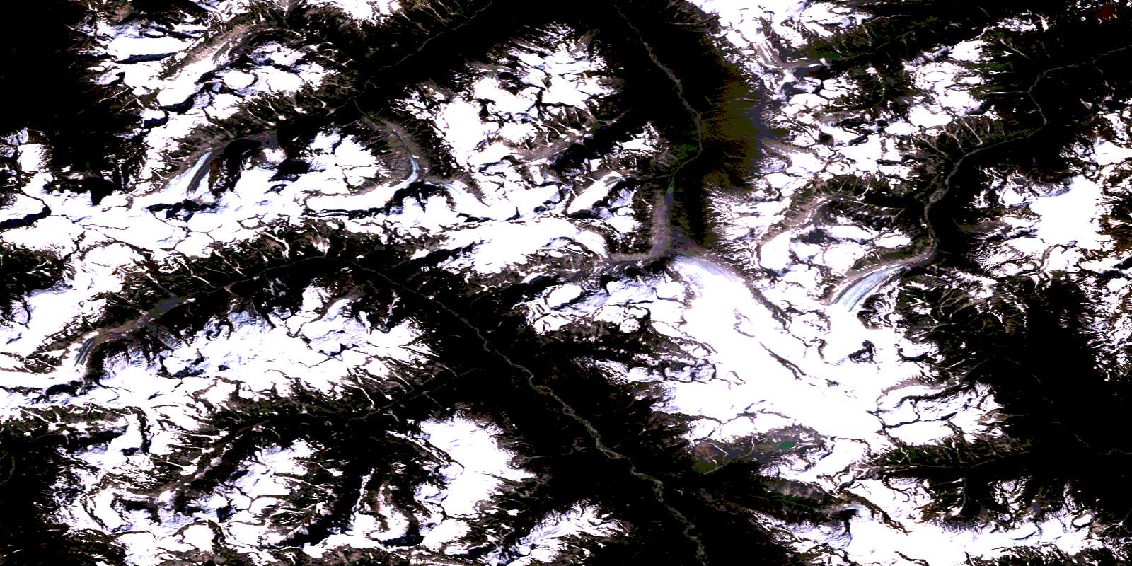
Exstew River Satellite Imagery
To view this satellite map, mouse over the air photo on the right.
You can also download this satellite image map for free:
103I11 Exstew River high-resolution satellite image map.
Maps for the Exstew River aerial map sheet 103I11 at 1:50,000 scale are also available in these versions:
Exstew River Surrounding Area Aerial Photo Maps
 |
 |
 |
 |
 |
 |
 |
 |
 |
 |
 |
 |
 |
 |
 |
 |
© Department of Natural Resources Canada. All rights reserved.
Exstew River Gazetteer
The following places can be found on satellite image map 103I11 Exstew River:
Exstew River Satellite Image: Mountains
Chaîne CôtièreCoast Mountains
Keays Peak
Kitimat Ranges
Morin Peak
Morton Peak
Mount Finley
Mount Hadden
Mount Leighton
Mount Mayo
Mount Morris
Mount Neilson
Mount William Brown
Exstew River Satellite Image: Major municipal/district area - major agglomerations
Regional District of Kitimat-StikineExstew River Satellite Image: Conservation areas
Khutzeymateen ParkExstew River Satellite Image: Rivers
Bohler CreekExstew River
Ishkheenickh River
Kateen River
Kitsumkalum River
Mayo Creek
Nelson River
Star Creek
Zymagotitz River
© Department of Natural Resources Canada. All rights reserved.
103I Related Maps:
103I Terrace103I01 Mount Davies
103I02 Kitimat
103I03 Alastair Lake
103I04 Port Essington
103I05 Khyex
103I06 Salvus
103I07 Lakelse Lake
103I08 Chist Creek
103I09 Usk
103I10 Terrace
103I11 Exstew River
103I12 Khutzeymateen River
103I13 Kincolith
103I14 Oscar Peak
103I15 Kitsumkalum Lake
103I16 Dorreen
