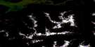
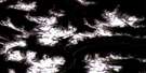
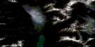
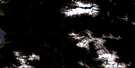
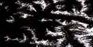
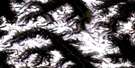
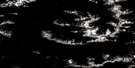
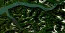
Lakelse Lake Satellite Image Map
Download Free Aerial Photo 103I07 at 1:50,000 scale
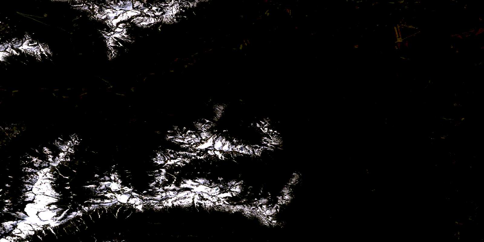
Lakelse Lake Satellite Imagery
To view this satellite map, mouse over the air photo on the right.
You can also download this satellite image map for free:
103I07 Lakelse Lake high-resolution satellite image map.
Maps for the Lakelse Lake aerial map sheet 103I07 at 1:50,000 scale are also available in these versions:
Lakelse Lake Surrounding Area Aerial Photo Maps
 |
 |
 |
 |
 |
 |
 |
 |
 |
 |
 |
 |
 |
 |
 |
 |
© Department of Natural Resources Canada. All rights reserved.
Lakelse Lake Gazetteer
The following places can be found on satellite image map 103I07 Lakelse Lake:
Lakelse Lake Satellite Image: Bays
Furlong BayMuller Bay
Lakelse Lake Satellite Image: Capes
Cainey PointCatt Point
Gainey Point
Graveyard Point
Mailbox Point
Squirrel Point
Lakelse Lake Satellite Image: City
TerraceLakelse Lake Satellite Image: Indian Reserves
Klakelse Indian Reserve 86Ksames Indian Reserve 85
Kulspai Indian Reserve 6
Lakelse Indian Reserve 25
Lakgeas Indian Reserve 87
Réserve indienne Klakelse 86
Réserve indienne Ksames 85
Réserve indienne Kulspai 6
Réserve indienne Lakelse 25
Réserve indienne Lakgeas 87
Réserve indienne Zimagord 3
Zimagord Indian Reserve 3
Lakelse Lake Satellite Image: Islands
Brauns IslandFerry Island
Little Island
Lakelse Lake Satellite Image: Lakes
Clearwater LakesEna Lake
End Lake
Hai Lake
Hellsgate Slough
Herman Lake
Lakelse Lake
Onion Lake
West Lake
Lakelse Lake Satellite Image: Mountains
Chaîne CôtièreCoast Mountains
Forceman Ridge
Kitimat Ranges
Larsen Ridge
Mount Catt
Mount Cecil
Mount Gordon
Mount Herman
Mount Hipp
Mount Johnstone
Mount Little
Mount Remo
Nash Ridge
Nass Ridge
Tri Mountain
Wedeene Mountain
Wye Mountain
Lakelse Lake Satellite Image: Major municipal/district area - major agglomerations
Regional District of Kitimat-StikineLakelse Lake Satellite Image: Conservation areas
Lakelse Lake ParkTerrace Park
Lakelse Lake Satellite Image: Recreational sites
Shames MountainLakelse Lake Satellite Image: Rivers
Alwyn CreekAmsbury Creek
Andalas Creek
Aveling Creek
Cecil Creek
Chist Creek
Chris Creek
Clearwater Creek
Coldwater Creek
Dasque Creek
Delta Creek
Ena Creek
Furlong Creek
Galloway Creek
Hatchery Creek
Herman Creek
Kitimat River
Lakelse River
Lone Wolf Creek
Schulbuckhand Creek
Shames River
Skeena River
Sockeye Creek
Sparkes Creek
Thornhill Creek
Wedeene River
White Creek
Whitebottom Creek
Williams Creek
Zymagotitz River
Lakelse Lake Satellite Image: Springs
Lakelse Hot SpringsLakelse Lake Satellite Image: Unincorporated areas
AmsburyDuBose
Halliday
Lakelse
Lakelse
Lakelse Lake
Old Remo
Remo
Shames
Thunderbird
© Department of Natural Resources Canada. All rights reserved.
103I Related Maps:
103I Terrace103I01 Mount Davies
103I02 Kitimat
103I03 Alastair Lake
103I04 Port Essington
103I05 Khyex
103I06 Salvus
103I07 Lakelse Lake
103I08 Chist Creek
103I09 Usk
103I10 Terrace
103I11 Exstew River
103I12 Khutzeymateen River
103I13 Kincolith
103I14 Oscar Peak
103I15 Kitsumkalum Lake
103I16 Dorreen
