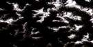
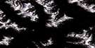
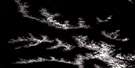
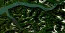
Chist Creek Satellite Image Map
Download Free Aerial Photo 103I08 at 1:50,000 scale
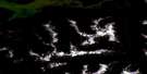
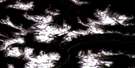
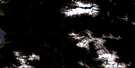
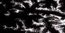
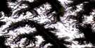
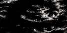
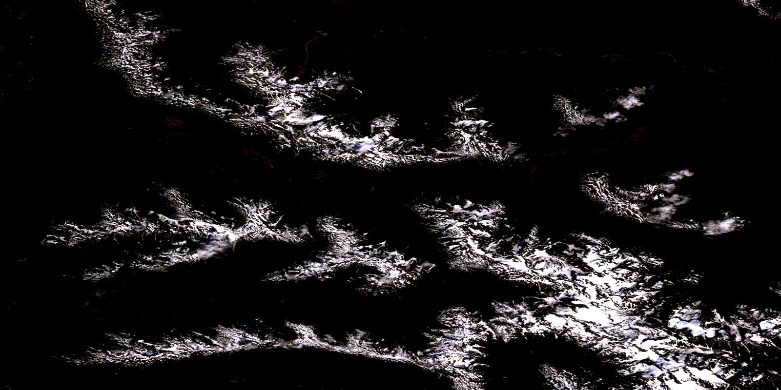
Chist Creek Satellite Imagery
To view this satellite map, mouse over the air photo on the right.
You can also download this satellite image map for free:
103I08 Chist Creek high-resolution satellite image map.
Maps for the Chist Creek aerial map sheet 103I08 at 1:50,000 scale are also available in these versions:
Chist Creek Surrounding Area Aerial Photo Maps
 |
 |
 |
 |
 |
 |
 |
 |
 |
 |
 |
 |
 |
 |
 |
 |
© Department of Natural Resources Canada. All rights reserved.
Chist Creek Gazetteer
The following places can be found on satellite image map 103I08 Chist Creek:
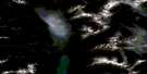
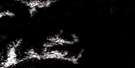
Chist Creek Satellite Image: Mountains
Andesite PeakBulkley Ranges
Chaîne Côtière
Coast Mountains
Flat Peak
Gunsight Peak
Kitimat Ranges
Mount Andesite
Mount Attree
Mount Clore
Mount De Boer
Mount Henderson
Mount Layton
Mount Thornhill
O.K. Range
Okay Range
Thornhill Mountain
Chist Creek Satellite Image: Major municipal/district area - major agglomerations
Regional District of Kitimat-StikineChist Creek Satellite Image: Rivers
Chist CreekClore River
Dardanelle Creek
Drake Creek
Eight Mile Creek
Elf Creek
Elliot Creek
Furlong Creek
Hatchery Creek
Hunter Creek
Kitimat River
Magee Creek
Mattson Creek
McNeil Creek
Moraine Creek
O.K. Creek
Salmon Creek
Salmon Run Creek
Schulbuckhand Creek
Sockeye Creek
Thomas Creek
Thornhill Creek
Tom Creek
Trapline Creek
Trapper Creek
Williams Creek
Zymoetz River
© Department of Natural Resources Canada. All rights reserved.
103I Related Maps:
103I Terrace103I01 Mount Davies
103I02 Kitimat
103I03 Alastair Lake
103I04 Port Essington
103I05 Khyex
103I06 Salvus
103I07 Lakelse Lake
103I08 Chist Creek
103I09 Usk
103I10 Terrace
103I11 Exstew River
103I12 Khutzeymateen River
103I13 Kincolith
103I14 Oscar Peak
103I15 Kitsumkalum Lake
103I16 Dorreen
