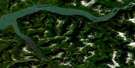
Usk Satellite Image Map
Download Free Aerial Photo 103I09 at 1:50,000 scale
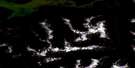
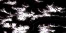
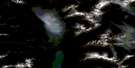
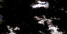
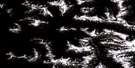
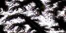
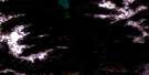
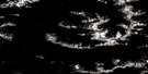
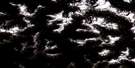
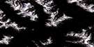
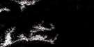
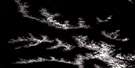
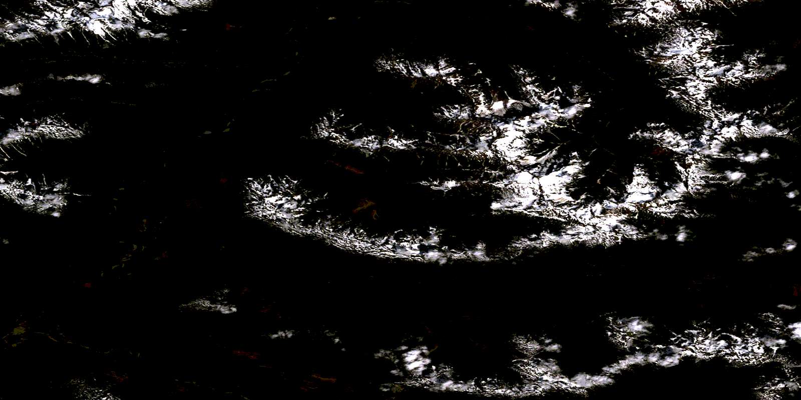
Usk Satellite Imagery
To view this satellite map, mouse over the air photo on the right.
You can also download this satellite image map for free:
103I09 Usk high-resolution satellite image map.
Maps for the Usk aerial map sheet 103I09 at 1:50,000 scale are also available in these versions:
Usk Surrounding Area Aerial Photo Maps
 |
 |
 |
 |
 |
 |
 |
 |
 |
 |
 |
 |
 |
 |
 |
 |
© Department of Natural Resources Canada. All rights reserved.
Usk Gazetteer
The following places can be found on satellite image map 103I09 Usk:
Usk Satellite Image: Indian Reserves
Chimdimash Indian Reserve 2Chimdimash Indian Reserve 2A
Ikshenigwolk Indian Reserve 3
Kitselas Indian Reserve 1
Kshish Indian Reserve 4
Kshish Indian Reserve 4B
Réserve indienne Chimdimash 2
Réserve indienne Chimdimash 2A
Réserve indienne Ikshenigwolk 3
Réserve indienne Kitselas 1
Réserve indienne Kshish 4
Réserve indienne Kshish 4B
Réserve indienne Zaimoetz 5
Zaimoetz Indian Reserve 5
Usk Satellite Image: Islands
Whitlow IslandUsk Satellite Image: Lakes
Kleanza LakeNoble Five Lake
Simila Lake
Valhalla Lake
Usk Satellite Image: Mountains
Bornite MountainBornite Peak
Bornite Range
Bulkley Ranges
Coast Mountains
Copper Mountain
Hazelton Mountains
Kitimat Ranges
Kitselas Mountain
Kleanza Mountain
Mount Kitselas
Mount O'Brien
Nass Range
Nass Ranges
O.K. Range
Okay Range
Treasure Mountain
Usk Satellite Image: Major municipal/district area - major agglomerations
Regional District of Kitimat-StikineUsk Satellite Image: Conservation areas
Kleanza Creek ParkUsk Satellite Image: Rapids
Hankin RiffleHardscrabble Riffle
Usk Satellite Image: Rivers
Call CreekCarpenter Creek
Chimdemash Creek
Chindemash Creek
Dardanelle Creek
Drake Creek
Eight Mile Creek
Fall Creek
Frisco Creek
Gossan Creek
Hankin Creek
Hardscrabble Creek
Keap Creek
Kendal Creek
Kipulta Creek
Kleanza Creek
Legate Creek
Lowrie Creek
Magee Creek
Mannix Creek
Mattock Creek
McNeil Creek
Mike Creek
Newtown Creek
Noble Five Creek
Nogold Creek
North Kleanza Creek
O.K. Creek
Peerless Creek
Salmon Creek
Salmon Run Creek
Sand Creek
Shackleton Creek
Shannon Creek
Singlehurst Creek
Skeena River
South Kleanza Creek
St. Croix Creek
Ste. Croix Creek
Swede Creek
Ten Mile Creek
Thornhill Creek
Treasure Creek
Tumbling Creek
Twelve Mile Creek
Valhalla Creek
Zymoetz River
Usk Satellite Image: Unincorporated areas
Copper RiverDobies
Kitsalas
Kitselas
Pitman
Usk
Vanarsdol
Usk Satellite Image: Valleys
Kitsalas CanyonKitselas Canyon
Little Canyon
© Department of Natural Resources Canada. All rights reserved.
103I Related Maps:
103I Terrace103I01 Mount Davies
103I02 Kitimat
103I03 Alastair Lake
103I04 Port Essington
103I05 Khyex
103I06 Salvus
103I07 Lakelse Lake
103I08 Chist Creek
103I09 Usk
103I10 Terrace
103I11 Exstew River
103I12 Khutzeymateen River
103I13 Kincolith
103I14 Oscar Peak
103I15 Kitsumkalum Lake
103I16 Dorreen
