Kitimat Satellite Image Map
Download Free Aerial Photo 103I02 at 1:50,000 scale
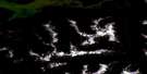
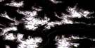
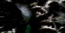
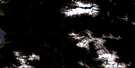
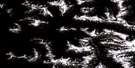
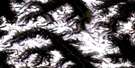
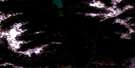
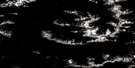
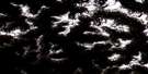
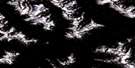
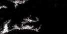
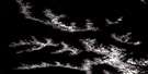
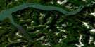
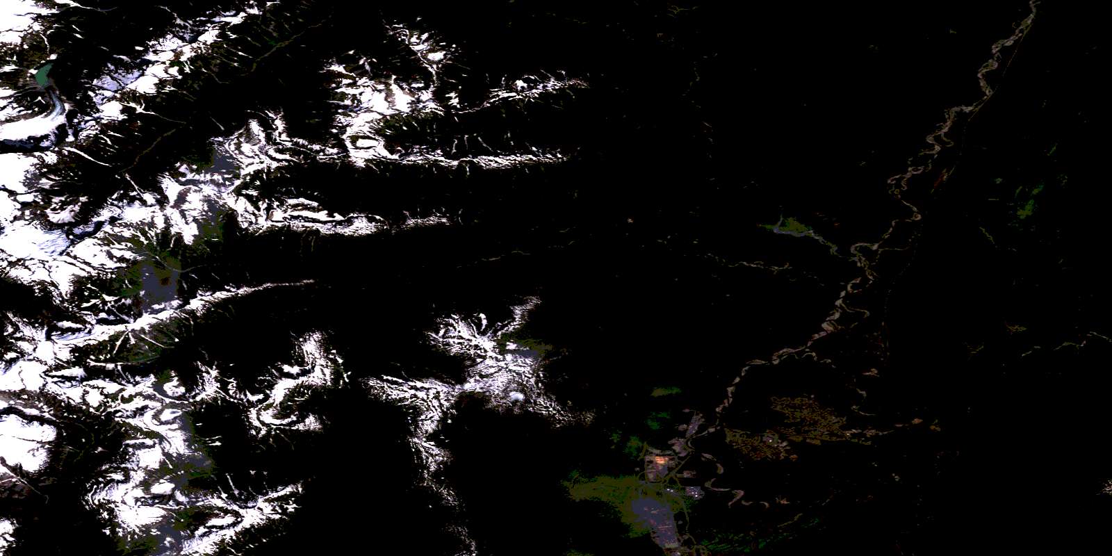
Kitimat Satellite Imagery
To view this satellite map, mouse over the air photo on the right.
You can also download this satellite image map for free:
103I02 Kitimat high-resolution satellite image map.
Maps for the Kitimat aerial map sheet 103I02 at 1:50,000 scale are also available in these versions:
Kitimat Surrounding Area Aerial Photo Maps
 |
 |
 |
 |
 |
 |
 |
 |
 |
 |
 |
 |
 |
 |
 |
 |
© Department of Natural Resources Canada. All rights reserved.
Kitimat Gazetteer
The following places can be found on satellite image map 103I02 Kitimat:
Kitimat Satellite Image: Bays
Kitimat ArmKitimat Harbour
Minette Bay
Kitimat Satellite Image: District municipality
KitimatKitimat Satellite Image: Indian Reserves
Jugwees (Minette Bay) Indian Reserve 5Kitamaat Indian Reserve 1
Kitimat (Colichan Ground or Old Town) Indian Reserve 1
Klak-ak-siouks Indian Reserve 9
Réserve indienne Jugwees (Minette Bay) 5
Réserve indienne Kitamaat 1
Réserve indienne Kitimat (Colichan Ground or Old Town) 1
Réserve indienne Klak-ak-siouks 9
Réserve indienne Tsinqueise (Minette Bay) 5
Tsinqueise (Minette Bay) Indian Reserve 5
Kitimat Satellite Image: Lakes
Bish LakeBowbyes Lake
Kitelse Lake
Lasha Lake
Robinson Lake
Kitimat Satellite Image: Mountains
Chaîne CôtièreClaque Mountain
Coast Mountains
Fire Mountain
Iron Mountain
Kitimat Ranges
Mount Charlie
Mount Clague
Mount Holt
Mount Madden
Mount Temple
Kitimat Satellite Image: Major municipal/district area - major agglomerations
Regional District of Kitimat-StikineKitimat Satellite Image: Conservation areas
Gitnadoix River Recreation AreaHirsch Creek Park
Kitimat Satellite Image: Rivers
Anderson CreekAveling Creek
Bish Creek
Bolton Creek
Bowbyes Creek
Canyon Creek
Cecil Creek
Cordella Creek
Cordella Creek
Dahl Creek
Deception Creek
Hirsch Creek
Humphrys Creek
Iron Mine Creek
Jack Pine Creek
Jesse Creek
Kitimat River
Little Wedeene River
Lone Wolf Creek
Lukes Creek
McCullough Creek
Minette Bay Creek
Moore Creek
Morrison Creek
Nalbeelah Creek
Pine Creek
Railey Creek
Raley Creek
Stony Creek
Sumgás Creek
Wedeene River
Kitimat Satellite Image: Unincorporated areas
NechakoNechako Centre
Wedeene
© Department of Natural Resources Canada. All rights reserved.
103I Related Maps:
103I Terrace103I01 Mount Davies
103I02 Kitimat
103I03 Alastair Lake
103I04 Port Essington
103I05 Khyex
103I06 Salvus
103I07 Lakelse Lake
103I08 Chist Creek
103I09 Usk
103I10 Terrace
103I11 Exstew River
103I12 Khutzeymateen River
103I13 Kincolith
103I14 Oscar Peak
103I15 Kitsumkalum Lake
103I16 Dorreen
