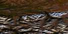
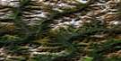
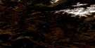
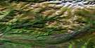
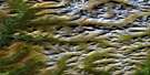
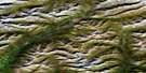
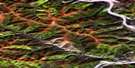
Lomond Lake Satellite Image Map
Download Free Aerial Photo 116B16 at 1:50,000 scale
Lomond Lake Satellite Imagery
To view this satellite map, mouse over the air photo on the right.
You can also download this satellite image map for free:
116B16 Lomond Lake high-resolution satellite image map.
Maps for the Lomond Lake aerial map sheet 116B16 at 1:50,000 scale are also available in these versions:
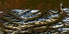
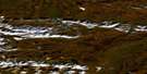
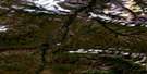
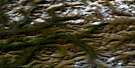
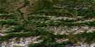
Lomond Lake Surrounding Area Aerial Photo Maps
 |
 |
 |
 |
 |
 |
 |
 |
 |
 |
 |
 |
 |
 |
 |
 |
© Department of Natural Resources Canada. All rights reserved.
Lomond Lake Gazetteer
The following places can be found on satellite image map 116B16 Lomond Lake:
Lomond Lake Satellite Image: Lakes
Antler LakeBoot Lake
Calico Lake
Chapman Lake
Cottonwood Lake
Lomond Lake
Outfitter Lake
Pistol Lake
Sedge Lake
Spruce Lake
Lomond Lake Satellite Image: Mountains
Infant PeakKit Range
McFarland Range
Mount Abraham
Mount Chapman
Mount Marth
Mount Vines
Ogilvie Mountains
Ogilvie Range
Puddingstone Hills
Rendell Ridge
Taiga Ranges
Vista Ridge
Lomond Lake Satellite Image: Plains
Blackstone PlateauLomond Lake Satellite Image: Rivers
Blackstone RiverEast Blackstone River
Henry Creek
Lomond Creek
North Cache Creek
Lomond Lake Satellite Image: Valleys
Taiga Valley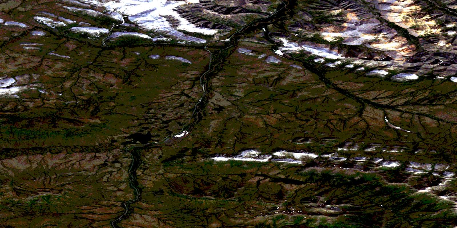
© Department of Natural Resources Canada. All rights reserved.
116B Related Maps:
116B Dawson116B01 Lee Creek
116B02 Rabbit Creek
116B03 Dawson
116B04 Swede Creek
116B05 Fifteenmile River
116B06 Chandindu River
116B07 Tombstone River
116B08 Upper Klondike River
116B09 North Fork Pass
116B10 Seela Pass
116B11 No Title
116B12 Mount Harper
116B13 No Title
116B14 No Title
116B15 Kit Lake
116B16 Lomond Lake
