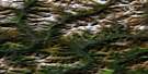
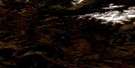
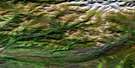
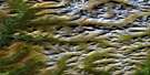
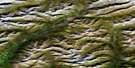
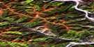
Seela Pass Satellite Image Map
Download Free Aerial Photo 116B10 at 1:50,000 scale
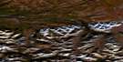
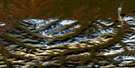
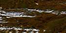
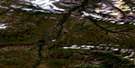
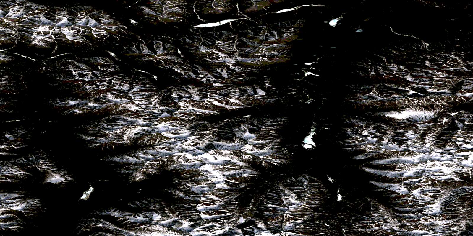
Seela Pass Satellite Imagery
To view this satellite map, mouse over the air photo on the right.
You can also download this satellite image map for free:
116B10 Seela Pass high-resolution satellite image map.
Maps for the Seela Pass aerial map sheet 116B10 at 1:50,000 scale are also available in these versions:
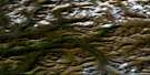
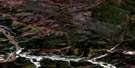
Seela Pass Surrounding Area Aerial Photo Maps
 |
 |
 |
 |
 |
 |
 |
 |
 |
 |
 |
 |
 |
 |
 |
 |
© Department of Natural Resources Canada. All rights reserved.
Seela Pass Gazetteer
The following places can be found on satellite image map 116B10 Seela Pass:
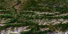
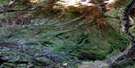
Seela Pass Satellite Image: Mountains
Blackstone MountainBlackstone Range
Cloudy Range
Mount Auston
Ogilvie Mountains
Ogilvie Range
Patrol Range
Seela Range
Waterfall Mountain
White Hat Hills
Seela Pass Satellite Image: Plains
Blackstone PlateauSeela Pass Satellite Image: Rivers
Arrow CreekBeauty Creek
Blackstone River
Bompas Creek
Chandindu River
Cry Creek
East Blackstone River
East Seela Creek
Foxy Creek
Hammer Creek
Henry Creek
Junior Creek
Seela Creek
Slavin Creek
Treadgold Creek
Wildhorse Creek
Seela Pass Satellite Image: Valleys
Auston PassSeela Pass
Taiga Valley
© Department of Natural Resources Canada. All rights reserved.
116B Related Maps:
116B Dawson116B01 Lee Creek
116B02 Rabbit Creek
116B03 Dawson
116B04 Swede Creek
116B05 Fifteenmile River
116B06 Chandindu River
116B07 Tombstone River
116B08 Upper Klondike River
116B09 North Fork Pass
116B10 Seela Pass
116B11 No Title
116B12 Mount Harper
116B13 No Title
116B14 No Title
116B15 Kit Lake
116B16 Lomond Lake
