Hungry Grove Pond Topo Map Online
Download Free Topo Map Sheet 001M14 at 1:50,000 scale
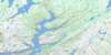
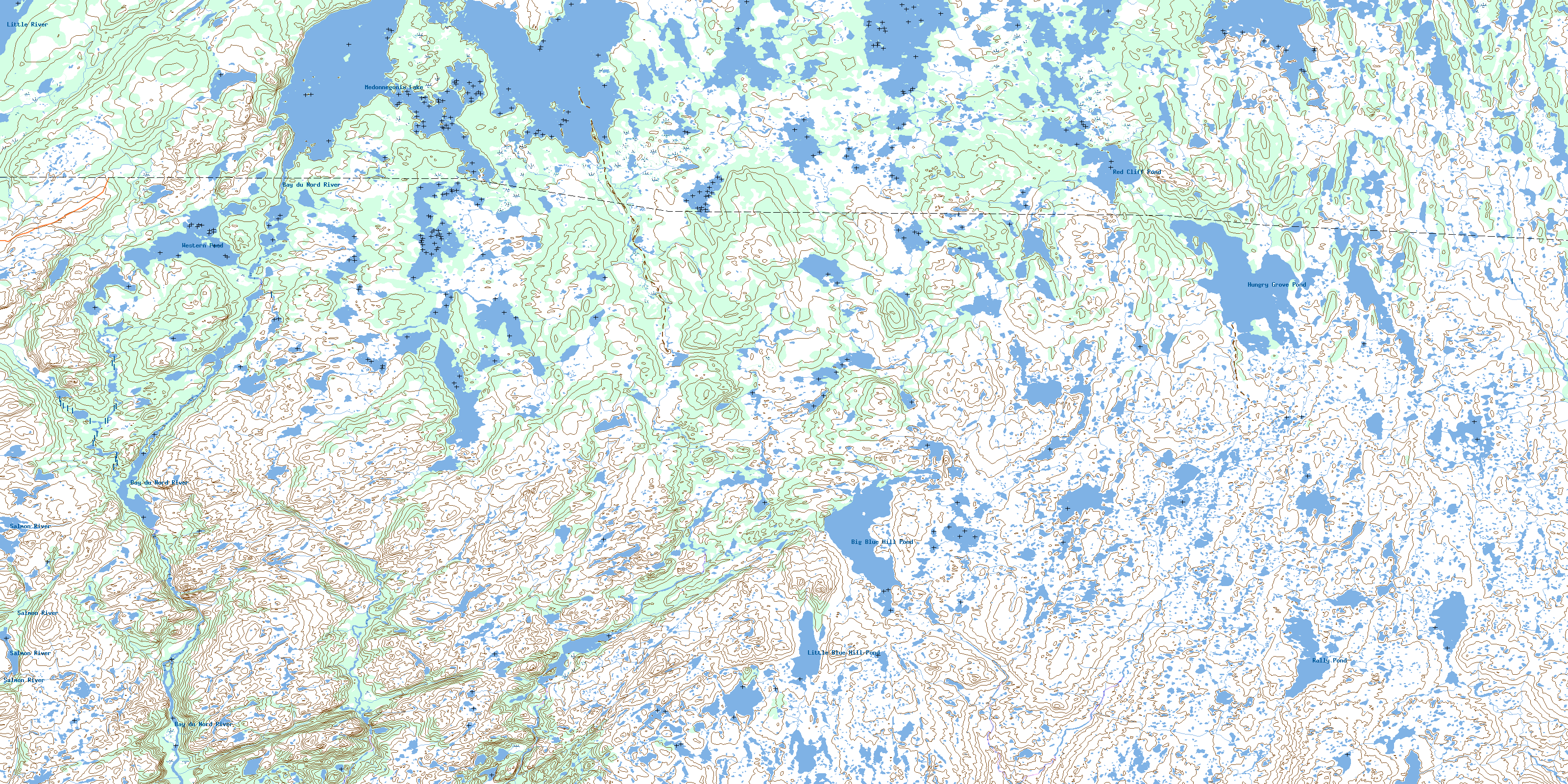
001M14 Hungry Grove Pond Topo Map
To view this map, mouse over the map preview on the right.
You can also download this topo map for free:
001M14 Hungry Grove Pond high-resolution topo map image.
Maps for the Hungry Grove Pond topo map sheet 001M14 at 1:50,000 scale are also available in these versions:
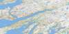
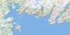
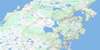
Hungry Grove Pond Surrounding Area Topo Maps
 |
 |
 |
 |
 |
 |
 |
 |
 |
 |
 |
 |
 |
 |
 |
 |
© Department of Natural Resources Canada. All rights reserved.
Hungry Grove Pond Gazetteer
The following places can be found on topographic map sheet 001M14 Hungry Grove Pond:
Hungry Grove Pond Topo Map: Lakes
Big Blue Hill PondHungry Grove Pond
Little Blue Hill Pond
Medonnegonix Lake
Rally Pond
Red Cliff Pond
Western Pond
Hungry Grove Pond Topo Map: Conservation areas
Bay du Nord Wilderness ReserveHungry Grove Pond Topo Map: Rivers
Bay du Nord RiverKane Brook
Little River
Mal Bay Brook
North East Brook
Rencontre Brook
Salmon River
Schooner Brook
© Department of Natural Resources Canada. All rights reserved.
001M Related Maps:
001M Belleoram001M01 Ship Cove
001M02 Jude Island
001M03 Marystown
001M04 Grand Bank
001M05 Harbour Breton
001M06 Point Entragee
001M07 Baine Harbour
001M08 Merasheen
001M09 Harbour Buffett
001M10 Terrenceville
001M11 Belleoram
001M12 Gaultois
001M13 St Alban's
001M14 Hungry Grove Pond
001M15 Gisborne Lake
001M16 Sound Island
