Harbour Breton Topo Map Online
Download Free Topo Map Sheet 001M05 at 1:50,000 scale
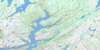
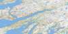
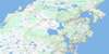
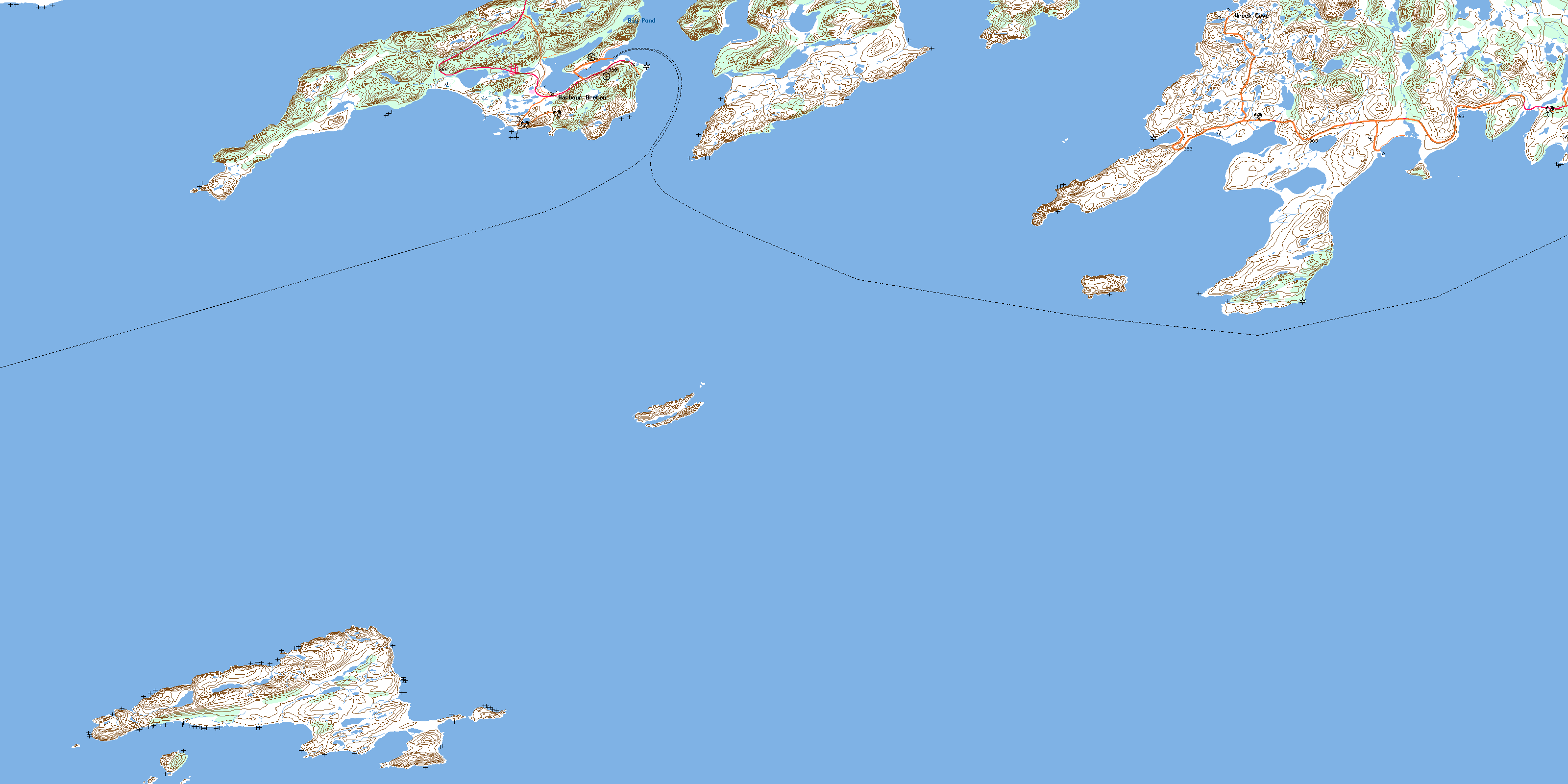
001M05 Harbour Breton Topo Map
To view this map, mouse over the map preview on the right.
You can also download this topo map for free:
001M05 Harbour Breton high-resolution topo map image.
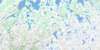
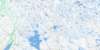
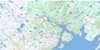
Maps for the Harbour Breton topo map sheet 001M05 at 1:50,000 scale are also available in these versions:
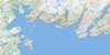
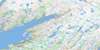
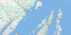
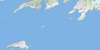
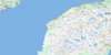
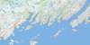
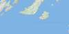
Harbour Breton Surrounding Area Topo Maps
 |
 |
 |
 |
 |
 |
 |
 |
 |
 |
 |
 |
 |
 |
 |
 |
© Department of Natural Resources Canada. All rights reserved.
Harbour Breton Gazetteer
The following places can be found on topographic map sheet 001M05 Harbour Breton:
Harbour Breton Topo Map: Bays
BaraswayBear Cove
Bills Cove
Black Island Cove
Blanchard Cove
Blow Me Down Cove
Blunder Cove
Boxey Back Cove
Boxey Harbour
Brag Cove
Chappie Cove
Connaigre Bay
Coomb's Cove
Cutthroat
Deadmans Bight
Deadman's Bight
Eastern Cove
English Harbour Back Cove
English Harbour West
Fortune Bay
Fox Cove
Great Bay de l'Eau
Great Ma Jambe
Harbour Breton
Hatcher Cove
Herring Cove
Herring Cove
Jerseyman's Harbour
Little Bay
Little Ma Jambe
Lord and Lady Cove
Mercer Cove
Michael Day Cove
Northeast Arm
Old Room
Open Cove
Poole Cove
Saltwater Cove
Saltwater Cove
Saucepan Cove
Shepherd Cove
Southwest Arm
St. John's Bay
St. John's Harbour
Trimmings Cove
Uncle Bob Cove
Western Cove
White Point Cove
Wild Cove
Wreck Cove
Harbour Breton Topo Map: Beaches
Thompson BeachHarbour Breton Topo Map: Capes
Bacon PointBen Point
Bluff Head
Boxey Harbour Head
Boxey Point
Boxey Point Promontory
Brag Point
Brook Point
Bull Point
Connaigre Head
Crow Head
Dunphy Head
Eastern Head
Friar Head
Hunts Point
Jerseyman's Head
Little Bay Head
Little Bay Western Head
Little Cape
Major Point
Mercer Head
Middle Head
Northwest Head
Oxford Point
Pierceys Point
Point of the Beach
Red Head
Red Head
Rocky Point
Salmon Net Point
Saltwater Point
Sam Head
Shepherd Cove Eastern Head
Shepherd Cove Western Head
St. John's Head
St. John's Head Promontory
The Knob
Trap Point
Western Head
White Point
White Point
Woody Head
Harbour Breton Topo Map: Islands
Bird IslandBlack Island
Brunette Island
Duck Island
English Harbour Island
Green Island
Gull Island
Little Sagona Island
Puffin Island
Rabbit Island
Sagona Island
St. John's Island
Harbour Breton Topo Map: Lakes
Big PondLittle Pond
Harbour Breton Topo Map: Mountains
Gun HillNorthern Hills
Parsons Hill
The Tolt
Harbour Breton Topo Map: Rivers
Bottom BrookBoxey Brook
Man of War Brook
Man O'War Brook
Otter Brook
Southwest Corner Brook
Harbour Breton Topo Map: Shoals
Bank O'North ShoalBank Shoal
Basse Terre Shoal
Bens Rock
Big Shoal
Big Shoal
Billy Rock
Black Cove Shoal
Black Island Rock
Blanchard Shoal
Blunder Shoal
Boxey Rock
Brandies Rocks
Brunet Shoal
Brunet Shoal
Brunnette Bank
Bull Shoal
Bungay Rock
Charlie Shoal
Cod Shoal
Connaigre Rock
Coral Shoal
Daniels Rock
Deer Shoal
Dumpling Shoal
Eastern Rock
Enoch Place
Fall off the Island
Father Skinner Shoal
Fish Rock
Fish Rock
Friar Rock
Gulch Shoal
Gull Rock
Hairy Man Shoal
Halibut Shoal
Harbour Mouth Shoal
Harbour Rock
Harbour Rock
Harbour Shoal
Head Shoal
Hell Hole Shoal
Inner Rock
Inner Rock
Inside Bank
Island Shoal
Job Rock
Joeys Rock
John Green Shoal
Johns Rock
Keeping Rock
Killick Ledge
Kippins Shoal
Knob Shoal
Little Bay Shoal
Lord and Lady Rock
Maddison Shoal
Mercer Rocks
Michael Day Shoal
Middle Rock
Net Shoal
Neverfail Shoal
No Name Shoal
North Big Shoal
North East Shoal
Northward Friar
Offer Rock
Old Man Place
Rock Shoal
Sagona Shoal
Salmon Shoal
Shag Island Sunker
Shag Rock
Shag Rock
Shag Rock
Shag Rock Bank
Shelf Rock
Shepherd Rock
Shoal Cove Rocks
Skate Shoal
Smooth Cove Rock
Southwest Point Shoal
Sunken Rock Shoal
Teddy Cove Shoal
The Friar
The Knob
The Rock
Tickle Cove Shoal
Tom Rock
Trawl Shoal
Uncle Toms New Shoal
Voile Rock
Western Bank
White Point Shoal
White Rock Shoal
Wolf Shoal
Woody Head Rocks
Harbour Breton Topo Map: Towns
Harbour BretonSt. Jacques-Coomb's Cove
Harbour Breton Topo Map: Unincorporated areas
BlanchetBoxey
Coomb's Cove
English Harbour West
Forward's Cove
Jersey Harbour
Mercer's Cove
Mose Ambrose
Sagona Island
St. John's Bay
Tibbos Hill
Wreck Cove
© Department of Natural Resources Canada. All rights reserved.
001M Related Maps:
001M Belleoram001M01 Ship Cove
001M02 Jude Island
001M03 Marystown
001M04 Grand Bank
001M05 Harbour Breton
001M06 Point Entragee
001M07 Baine Harbour
001M08 Merasheen
001M09 Harbour Buffett
001M10 Terrenceville
001M11 Belleoram
001M12 Gaultois
001M13 St Alban's
001M14 Hungry Grove Pond
001M15 Gisborne Lake
001M16 Sound Island
