St Alban's Topo Map Online
Download Free Topo Map Sheet 001M13 at 1:50,000 scale
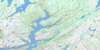
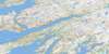
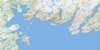
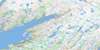
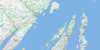
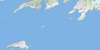
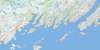
001M13 St Alban's Topo Map
To view this map, mouse over the map preview on the right.
You can also download this topo map for free:
001M13 St Alban's high-resolution topo map image.
Maps for the St Alban's topo map sheet 001M13 at 1:50,000 scale are also available in these versions:
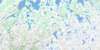
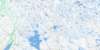
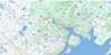
St Alban's Surrounding Area Topo Maps
 |
 |
 |
 |
 |
 |
 |
 |
 |
 |
 |
 |
 |
 |
 |
 |
© Department of Natural Resources Canada. All rights reserved.
St Alban's Gazetteer
The following places can be found on topographic map sheet 001M13 St Alban's:
St Alban's Topo Map: Bays
Arran Back CoveArran Cove
Bay d'Espoir
Black Duck Cove
Black Duck Cove
Black Duck Hole
Bobbett Cove
Brant Cove
Burying Ground Cove
Carnell Cove
Clarke Cove
Clay Hole
Cock and Hen Cove
Cribb Cove
Dwyer Hole
Flobber Cove
Foley Cove
Frenchman Cove
Genge Cove
Goodwin Cove
Green Point Cove
Gull Cove
Hardy Cove
Harrison Cove
Hunter Cove
Ingram Cove
Jack Damp Cove
Jersey Cove
Jim Macdonald Cove
Lee Cove
Linen Cove
Little Looe Cove
Little Muddy Hole
Lobster Cove
Looe Cove
Lynch Cove
Man of War Cove
Margery Cove
Mooring Cove
Morgan Arm
Muddy Hole
Northwest Cove
Nut Cove
Pardy Head Cove
Roti Bay
Ship Cove
Shoal Cove
Southeast Cove
Southwest Cove
Stickland Cove
Swanger Cove
The Barasway
Vyse Cove
St Alban's Topo Map: Capes
Bald HeadBirchy Point
Brant Head
Chalker Point
Clarke Head
Cluett Head
Collins Head
Conne Head
Crow Head
Dave Woolcott Point
Dawson Point
Dawson Point
Deepwater Point
Diamond Point
Eads Point
Frenchman Head
Gaze Point
Gooseberry Point
Green Point
Harrison Point
Hunter Point
Indian Point
Ingram Point
Island Point
Jersey Point
Little Crow Head
Little Pardy Head
Long Point
Man of War Head
Margery Head
Pagenal Head
Pardy Head
Peyton Point
Reuben Point
Roti Point
Sandy Point
Shoal Cove Head
Snooks Point
Tickle Head
Winging Head
St Alban's Topo Map: Channels
Dawson PassageLampidoes Passage
St Alban's Topo Map: Indian Reserves
Samiajij MiawpukekSt Alban's Topo Map: Islands
Barasway IslandBois Island
Flobber Cove Island
Gooseberry Island
Pullett Island
Riches Island
Shellbird Island
Weasel Island
St Alban's Topo Map: Lakes
Barasway de CerfBeaver Pond
Big Barasway
Big Jersey Pond
Cock and Hen Cove Pond
First Pond
Fourth Pond
Jeddore Lake
Juniper Cove Pond
Little Barasway
Little Jersey Pond
Long Pond
Loo Pond
Mill Pond
Peter Poor Pond
Rattling Brook Pond
Riche Lake
River Pond
Rocky Pond
Roti Bay Pond
Second Pond
Simmonds Barasway
Soulis Pond
String of Ponds
The Gullies
The Southeast
Third Pond
Trout Pond
Western Pond
Woody Hill Pond
St Alban's Topo Map: Mountains
Brown RidgeLine Hill
Witch Hazel Hill
St Alban's Topo Map: Conservation areas
Jipujijkuei Kuespem (Little River Pond) Provincial ParkJipujijkuei Kuespem Provincial Park
St Alban's Topo Map: Rivers
Big Rattling BrookBlack Brook
Conne River
Little River
Mast Gulch
Northwest Brook
Salmon River
Salmon River
Southeast Brook
Southwest Brook
Whiskey Brook
St Alban's Topo Map: Road features
Steady PathSt Alban's Topo Map: Shoals
Seal RocksSt Alban's Topo Map: Towns
Milltown-Head of Bay D'EspoirMorrisville
St. Alban's
St Alban's Topo Map: Unincorporated areas
Camp BoggyConne River
Head Bay D'Espoir
Head of Bay D'Espoir
Milltown
St. Joseph's Cove
St. Joseph's Cove-St. Veronica's
St. Veronica's
Swanger Cove
St Alban's Topo Map: Valleys
The GulchSt Alban's Topo Map: Low vegetation
Deers Home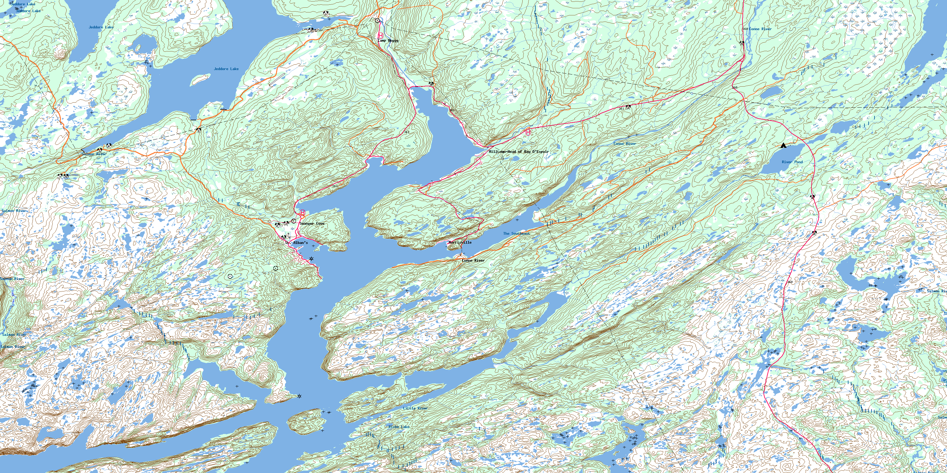
© Department of Natural Resources Canada. All rights reserved.
001M Related Maps:
001M Belleoram001M01 Ship Cove
001M02 Jude Island
001M03 Marystown
001M04 Grand Bank
001M05 Harbour Breton
001M06 Point Entragee
001M07 Baine Harbour
001M08 Merasheen
001M09 Harbour Buffett
001M10 Terrenceville
001M11 Belleoram
001M12 Gaultois
001M13 St Alban's
001M14 Hungry Grove Pond
001M15 Gisborne Lake
001M16 Sound Island
