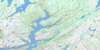
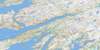
Sound Island Topo Map Online
Download Free Topo Map Sheet 001M16 at 1:50,000 scale
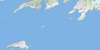
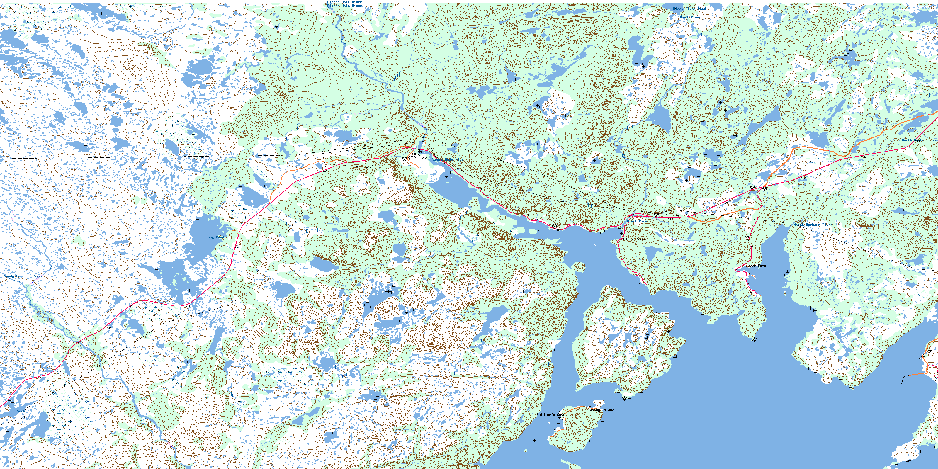
001M16 Sound Island Topo Map
To view this map, mouse over the map preview on the right.
You can also download this topo map for free:
001M16 Sound Island high-resolution topo map image.
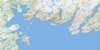
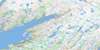
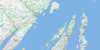
Maps for the Sound Island topo map sheet 001M16 at 1:50,000 scale are also available in these versions:
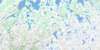
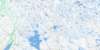
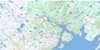
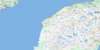
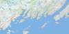
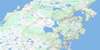
Sound Island Surrounding Area Topo Maps
 |
 |
 |
 |
 |
 |
 |
 |
 |
 |
 |
 |
 |
 |
 |
 |
© Department of Natural Resources Canada. All rights reserved.
Sound Island Gazetteer
The following places can be found on topographic map sheet 001M16 Sound Island:
Sound Island Topo Map: Bays
Arnold's CoveBack Cove
Baker Cove
Bittern Cove
Bob Spirer Cove
Brinsen Cove
Brinson Cove
Caplin Cove
Catens Cove
Clay Cove
Come By Chance
Coopers Cove
Darby Cove
Doughboy Cove
Goose Cove
Hardy Cove
Holletts Cove
Jean Cove
Jeffrey Cove
La Plante Cove
Maggotty Cove
Middle Cove
Mooring Rock Cove
Muddy Hole
North Harbour
Old Cove
Placentia Bay
Soldiers Cove
Swift Current
Wreck Cove
Sound Island Topo Map: Beaches
Long BeachRed Beach
Sound Island Topo Map: Capes
Adams HeadAllens Point
Baker Point
Barachois Head
Barretts Point
Big Head
Big Head
Bloody Point
Brimstone Point
Cape Pine
Come By Chance Point
Coopers Head
Emberly Point
Fox Head
Gilberts Point
Goat Point
Grassy Point
Holletts Point
Long Point
North Harbour Point
Otter Point
Pearce Head
Placentia Mans Point
Pope Point
Sandy Point
Shepherd Point
Sound Island Point
South Point
Southern Head
Spencer Point
Staceys Point
Upper Sandy Point
Whiffin Head
White Point
Winging Head
Sound Island Topo Map: Caves
Devils ChimneySound Island Topo Map: Channels
Come by Chance GutCome By Chance Gut
Sound Island Topo Map: Islands
Creve IsletsCrévè Islets
Little Woody Island
Mouse Islet
Sall the Maid Island
Sound Island
Sugarloaf Islet
Vicuna Island
Woody Island
Woody Islands
Sound Island Topo Map: Lakes
Black River PondBlack River Pond
Butt Pond
Feeder Ponds
Long Pond
Sock Pond
Sound Island Topo Map: Mountains
Bears FollyCannon Hill
Grip Nest
Jonathan Lookout
Powder Horn Hill
Powder Horn Hills
Powderhorn Hill
Toby Lookout
White Hills
Sound Island Topo Map: Conservation areas
Pipers Hole River Provincial ParkSound Island Topo Map: Rivers
Black RiverDarby Creek
Mothers Brook
North Harbour River
Paradise River
Pipers Hole River
Rattling Brook
Sandy Harbour River
Wigman Brook
Sound Island Topo Map: Shoals
Big ShoalCharley Rock
Hardy Rocks
La Plante Sunker
Long Beach Sunker
Martin Morrissey Rocks
Net Rock
Round Rock
The Ground
Woody Island Shoal
Sound Island Topo Map: Towns
Arnold's CoveCome By Chance
Come-by-Chance
Sound Island Topo Map: Unincorporated areas
Black RiverGarden Cove
Goobies
Goose Cove
North Harbour
Soldier's Cove
Swift Current
Woody Island
© Department of Natural Resources Canada. All rights reserved.
001M Related Maps:
001M Belleoram001M01 Ship Cove
001M02 Jude Island
001M03 Marystown
001M04 Grand Bank
001M05 Harbour Breton
001M06 Point Entragee
001M07 Baine Harbour
001M08 Merasheen
001M09 Harbour Buffett
001M10 Terrenceville
001M11 Belleoram
001M12 Gaultois
001M13 St Alban's
001M14 Hungry Grove Pond
001M15 Gisborne Lake
001M16 Sound Island
