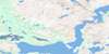
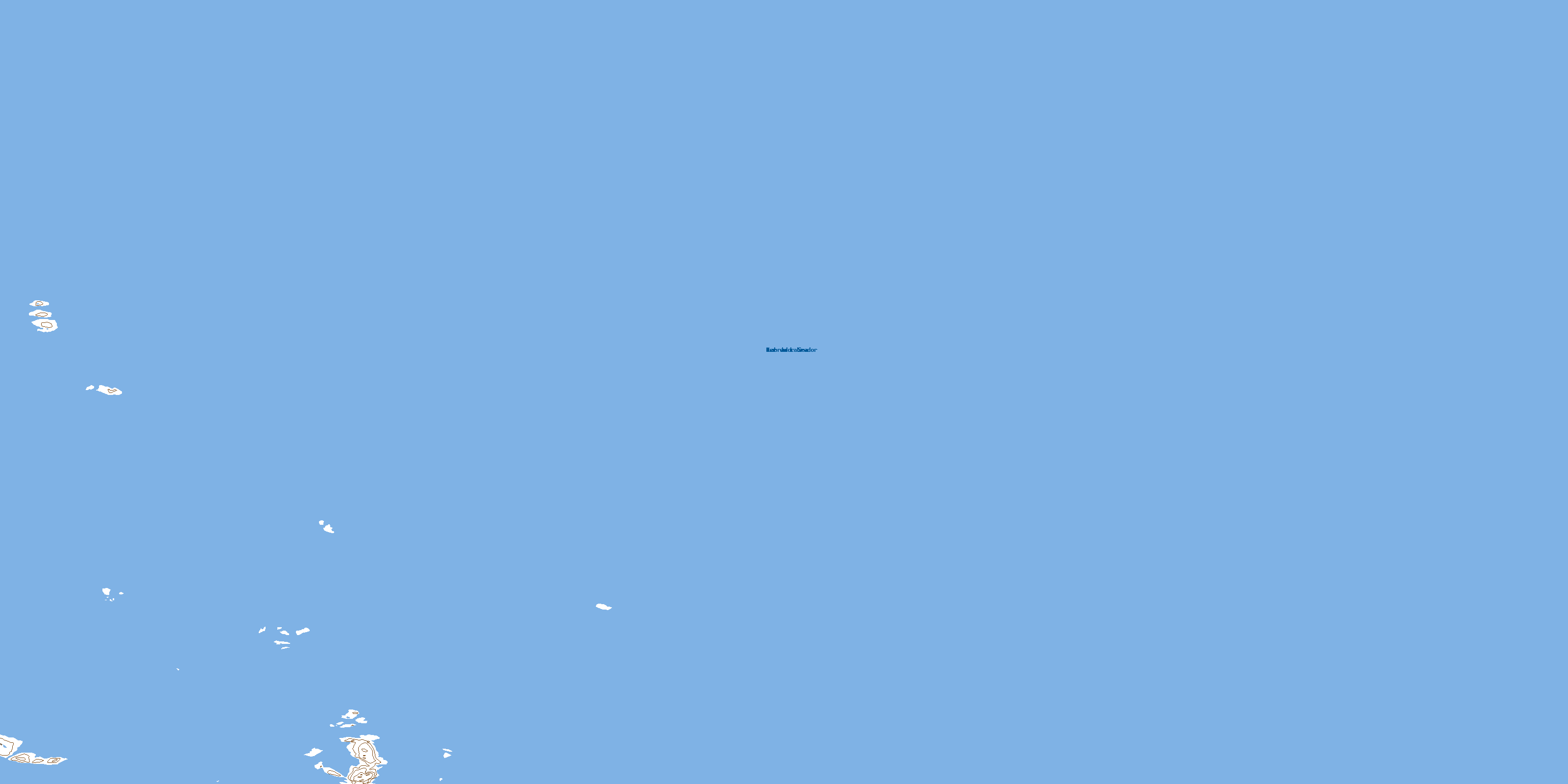
Savage Islands Topo Map Online
Download Free Topo Map Sheet 014C15 at 1:50,000 scale
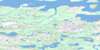
014C15 Savage Islands Topo Map
To view this map, mouse over the map preview on the right.
You can also download this topo map for free:
014C15 Savage Islands high-resolution topo map image.
Maps for the Savage Islands topo map sheet 014C15 at 1:50,000 scale are also available in these versions:
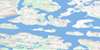
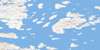
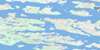
Savage Islands Surrounding Area Topo Maps
 |
 |
 |
|
 |
 |
 |
|
 |
 |
 |
|
 |
 |
 |
© Department of Natural Resources Canada. All rights reserved.
Savage Islands Gazetteer
The following places can be found on topographic map sheet 014C15 Savage Islands:
Savage Islands Topo Map: Islands
Barham IslandSavage Islands
Trio Islands
Savage Islands Topo Map: Seas
Labrador SeaMer du Labrador
Savage Islands Topo Map: Shoals
Butter RocksNotch Rock
Sentinel Rock
© Department of Natural Resources Canada. All rights reserved.
