Akpiktok Island Topo Map Online
Download Free Topo Map Sheet 014C03 at 1:50,000 scale
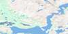
014C03 Akpiktok Island Topo Map
To view this map, mouse over the map preview on the right.
You can also download this topo map for free:
014C03 Akpiktok Island high-resolution topo map image.
Maps for the Akpiktok Island topo map sheet 014C03 at 1:50,000 scale are also available in these versions:
Akpiktok Island Surrounding Area Topo Maps
 |
 |
 |
|
 |
 |
 |
|
 |
 |
 |
|
 |
 |
 |
© Department of Natural Resources Canada. All rights reserved.
Akpiktok Island Gazetteer
The following places can be found on topographic map sheet 014C03 Akpiktok Island:
Akpiktok Island Topo Map: Bays
Boat HarbourHouse Harbour
Jackos Cove
Kangekluktanna Bay
Kayutak Bay
Merrifield Bay
Nothing Bay
Nuvudluktok Bay
Takpanayok Bay
Tasiuyak Bay
Uivasuk Cove
Zoar Bay
Akpiktok Island Topo Map: Capes
Cape LittleTikigatsiak Peninsula
Uibarsuk Peninsula
Uibyak Peninsula
Akpiktok Island Topo Map: Channels
Inside TicklePerrett Tickle
Shoal Tickle
Tom Gears Run
Akpiktok Island Topo Map: Islands
Aklaktalik IslandAkpiktok Island
Akpiktok Kitta Island
Annaksarkhat Islands
Bear Island
Big Island
Gibraltar Island
Iglosiatik Island
Napaktotok Island
North Tunungayukaluk Island
Northnukoluk Island
Nuasurnakuluk Island
Okpatik Island
Pigeon Islet
Seal Island
Seniartlit Islands
South Tunungayukaluk Island
Tuktuinak Island
Tunungayualok Island
Uibarsuk Island
Akpiktok Island Topo Map: Lakes
Tasialuk LakeAkpiktok Island Topo Map: Seas
Labrador SeaMer du Labrador
Akpiktok Island Topo Map: Unincorporated areas
Zoar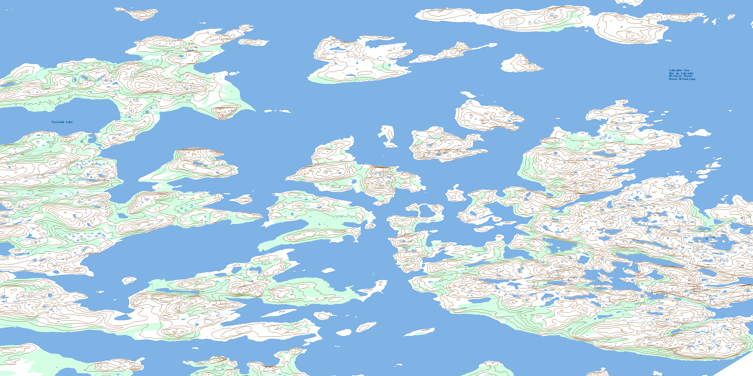
© Department of Natural Resources Canada. All rights reserved.
