David Island Topo Map Online
Download Free Topo Map Sheet 014C14 at 1:50,000 scale
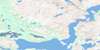
014C14 David Island Topo Map
To view this map, mouse over the map preview on the right.
You can also download this topo map for free:
014C14 David Island high-resolution topo map image.
Maps for the David Island topo map sheet 014C14 at 1:50,000 scale are also available in these versions:
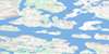
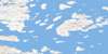
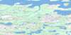
David Island Surrounding Area Topo Maps
 |
 |
 |
|
 |
 |
 |
|
 |
 |
 |
|
 |
 |
 |
© Department of Natural Resources Canada. All rights reserved.
David Island Gazetteer
The following places can be found on topographic map sheet 014C14 David Island:
David Island Topo Map: Bays
Bakeapple BayBlack Harbour
Collyers Bight
East Harbour
Eastern Harbour
Eastern Harbour
Frances Bay
Green Cove
Kolotulik Bay
Medusa Bay
Port Manvers
Slambang Bay
St. John's Harbour
Tigalak Inlet
Village Bay
David Island Topo Map: Beaches
Mosquito ShoreDavid Island Topo Map: Capes
Collyers PointFletcher Point
Partridge Point
Redberry Point
Saltern Point
Thalia Point
Tikkegaksuak Peninsula
David Island Topo Map: Channels
Main TickleRingbolt Tickle
Seal Tickle
David Island Topo Map: Cliffs
Medusa BluffDavid Island Topo Map: Islands
Akulaitualuk IslandAmagvik Island
Barham Island
Bentinck Island
Big Black Island
Bingham Island
Black Island
Bouverie Island
Bulldog Island
Christine Island
David Island
Fish Islands
Gang Island
Henry Island
Jonathon Island
Little Fish Island
Ollerton Island
Orton Island
Phillips Island
Quest Island
Ring Island
Sculpin Island
South Aulatsivik Island
Tent Island
Turnagain Island
Vernon Island
David Island Topo Map: Mountains
Backsight HillBlackface Hill
Mount Thoresby
David Island Topo Map: Seas
Labrador SeaMer du Labrador
David Island Topo Map: Shoals
Chain RocksLilly Rocks
Willis Rocks
David Island Topo Map: Unincorporated areas
Ungardlek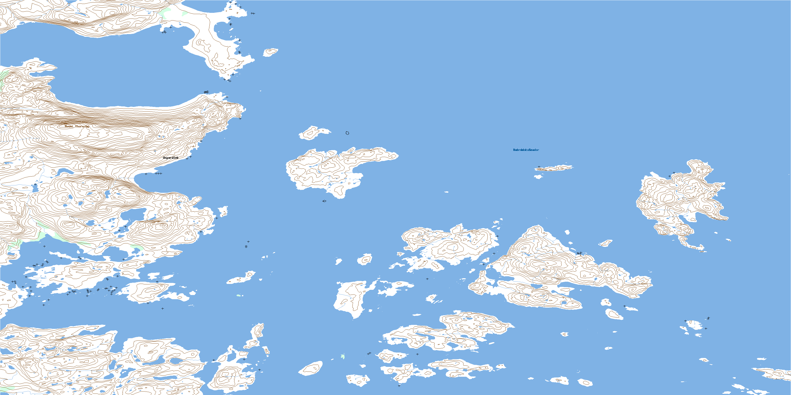
© Department of Natural Resources Canada. All rights reserved.
