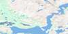
Satoaluk Island Topo Map Online
Download Free Topo Map Sheet 014C07 at 1:50,000 scale
014C07 Satoaluk Island Topo Map
To view this map, mouse over the map preview on the right.
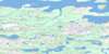
You can also download this topo map for free:
014C07 Satoaluk Island high-resolution topo map image.
Maps for the Satoaluk Island topo map sheet 014C07 at 1:50,000 scale are also available in these versions:
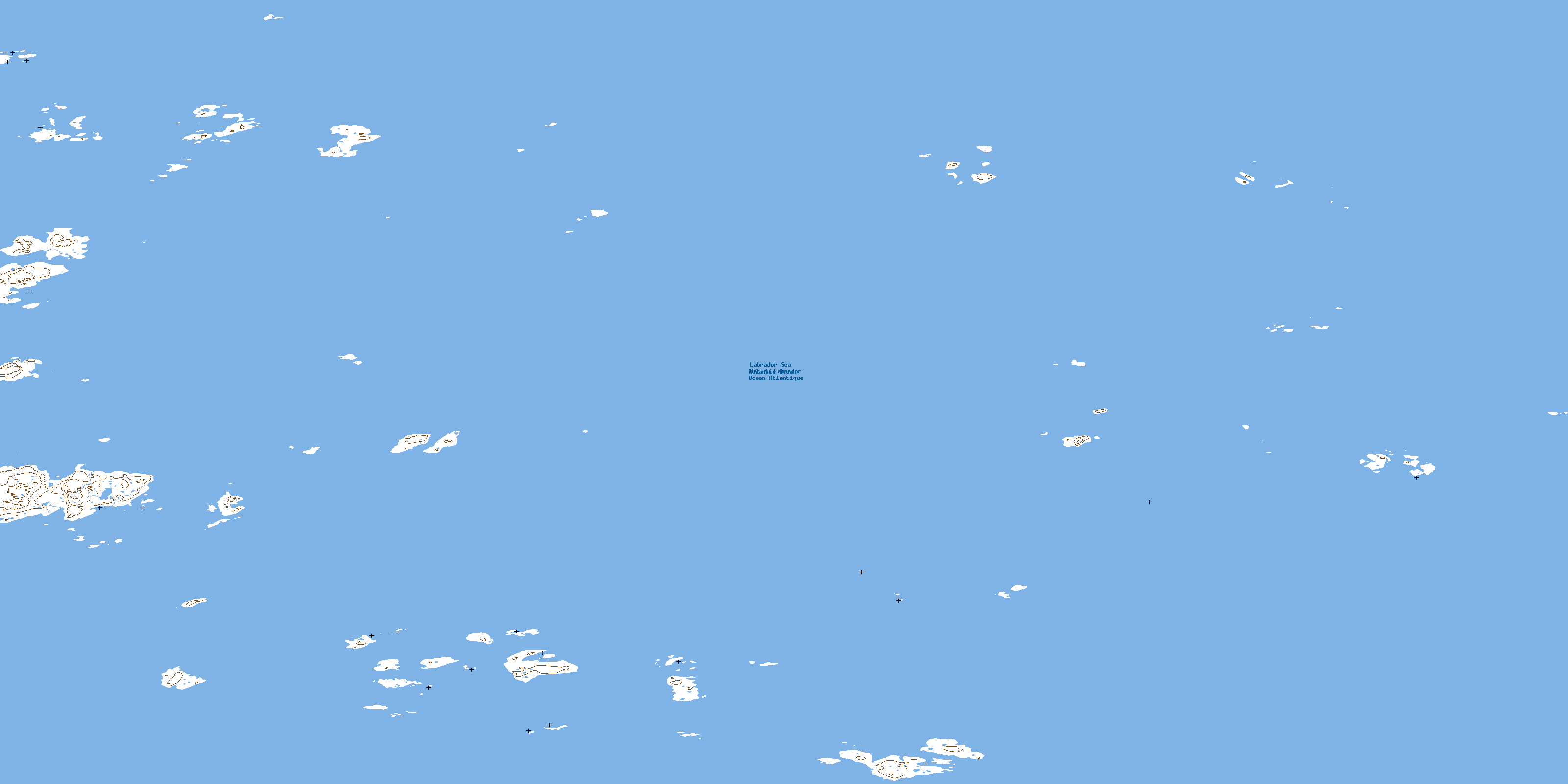
Satoaluk Island Surrounding Area Topo Maps
 |
 |
 |
|
 |
 |
 |
|
 |
 |
 |
|
 |
 |
 |
© Department of Natural Resources Canada. All rights reserved.
Satoaluk Island Gazetteer
The following places can be found on topographic map sheet 014C07 Satoaluk Island:
Satoaluk Island Topo Map: Bays
The Clusters HarbourSatoaluk Island Topo Map: Islands
Alpha IsletAmatut Islands
Beta Islet
Delta Islet
Fulmar Islands
Gamma Islets
Humbys Island
Iota Islet
Kairoliktut Island
Kappa Islets
Lambda Islet
Lost Islands
Negro Islands
Potuk Island
Pyramid Islands
Satoaluk Island
The Barbican
The Castle
The Clusters
The Twins
Satoaluk Island Topo Map: Seas
Mer du LabradorSatoaluk Island Topo Map: Shoals
Flat RocksStevenson Rocks
© Department of Natural Resources Canada. All rights reserved.
