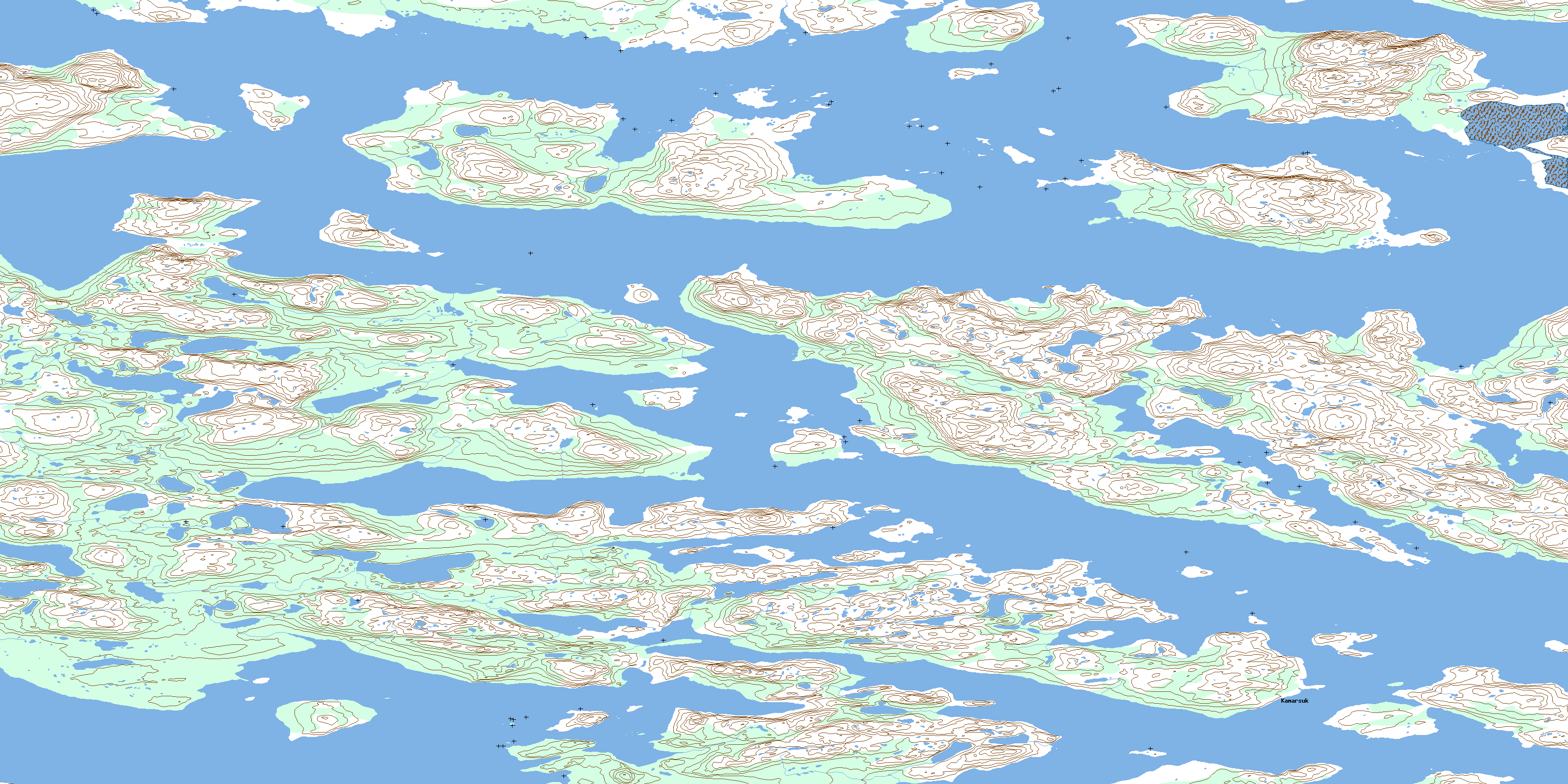
Kamarsuk Topo Map Online
Download Free Topo Map Sheet 014C05 at 1:50,000 scale
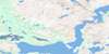
014C05 Kamarsuk Topo Map
To view this map, mouse over the map preview on the right.
You can also download this topo map for free:
014C05 Kamarsuk high-resolution topo map image.
Maps for the Kamarsuk topo map sheet 014C05 at 1:50,000 scale are also available in these versions:
Kamarsuk Surrounding Area Topo Maps
 |
 |
 |
|
 |
 |
 |
|
 |
 |
 |
|
 |
 |
 |
© Department of Natural Resources Canada. All rights reserved.
Kamarsuk Gazetteer
The following places can be found on topographic map sheet 014C05 Kamarsuk:
Kamarsuk Topo Map: Bays
Bar Island CoveEdmunds Cove
Igiak Bay
Igiak Bay
Kangeklualuk Bay
Kangeklukuluk Bay
Kauk Bay
Kauk Harbour
Neck Cove
Samiuk Cove
Solomons Cove
Ten Mile Bay
Throat Bay
Umiakovikulluk Harbour
Voisey Bay
Voisey's Bay
Kamarsuk Topo Map: Beaches
Breakfast Point ShoreKamarsuk Topo Map: Capes
Akuliakatak PeninsulaBreakfast Point
Edmunds Neck
Glasis Point
Kaiktusuak Point
Kamarsuk Point
Karmarsuk Point
Stony Point
Kamarsuk Topo Map: Channels
Headforemost TickleThe Bridges Passage
Kamarsuk Topo Map: Cliffs
Kauk BluffKamarsuk Topo Map: Islands
Amos IslandBar Island
Big Island
Big Island Samiuks
Duck Island
Far Island
Gull Island
Hare Island
Kauk Bluff Island
Kikkertavak Island
Kiuvik Island
Middle Island
Near Island
Palungitak Island
Paul Island
Pigeon Island
Pitsiulak Island
Pitsiulatsuit Islands
Rain Islet
Satosoak Island
Simmikutaq Island
Tabor Island
Tokauyaq Island
Turn Island
Uncle Johns Big Island
Upper Big Island
Kamarsuk Topo Map: Mountains
Anchor KnollBridges Hill
Dick Hill
Kikkertavak Hill
Scotch Hill
Sentinel Hill
White Hill
Kamarsuk Topo Map: Seas
Labrador SeaMer du Labrador
Kamarsuk Topo Map: Shoals
Jenks RockKamarsuk Topo Map: Unincorporated areas
IggiakKamarsuk
© Department of Natural Resources Canada. All rights reserved.
