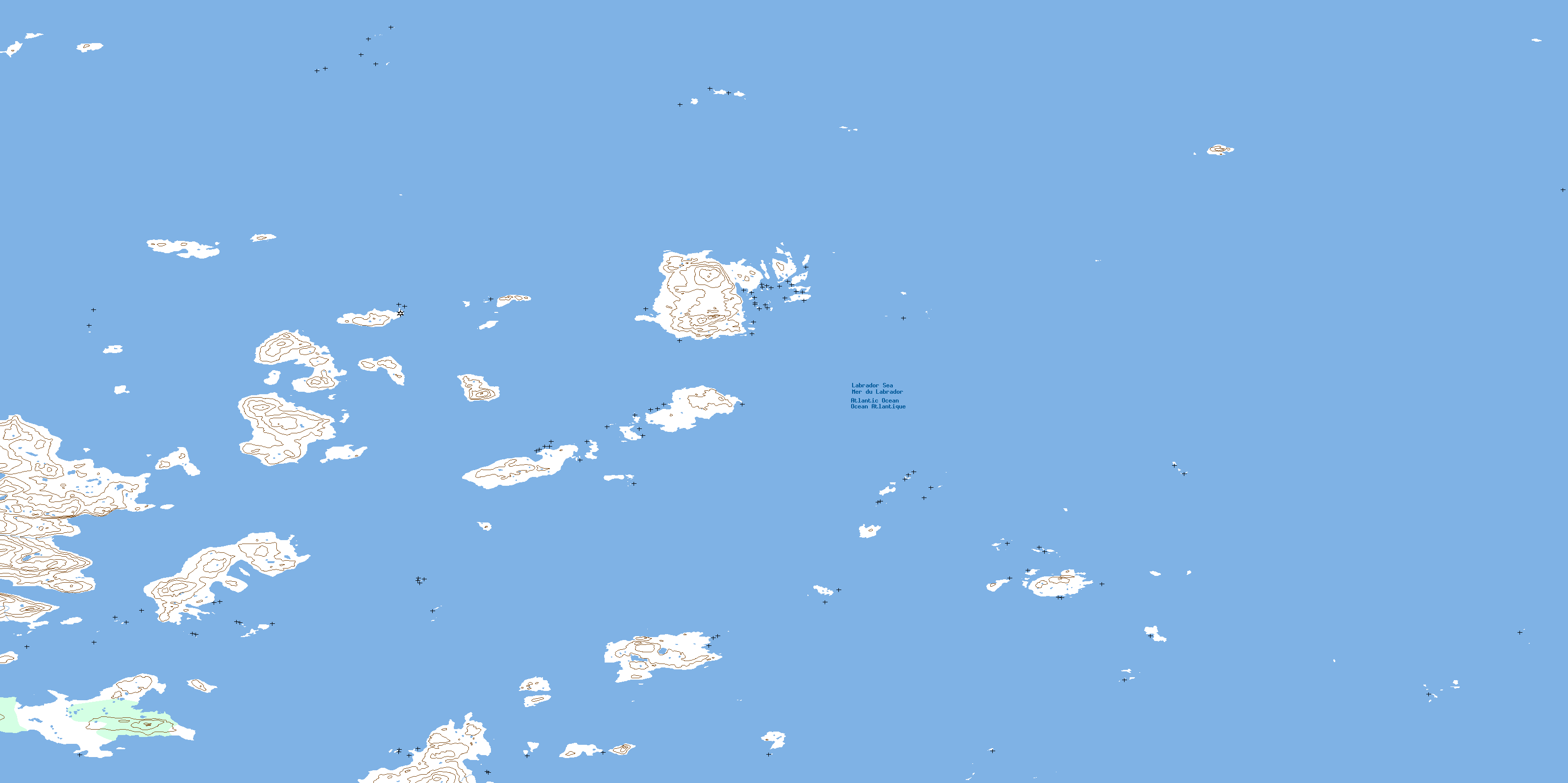
Spracklins Island Topo Map Online
Download Free Topo Map Sheet 014C02 at 1:50,000 scale
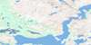
014C02 Spracklins Island Topo Map
To view this map, mouse over the map preview on the right.
You can also download this topo map for free:
014C02 Spracklins Island high-resolution topo map image.
Maps for the Spracklins Island topo map sheet 014C02 at 1:50,000 scale are also available in these versions:
Spracklins Island Surrounding Area Topo Maps
 |
 |
 |
|
 |
 |
 |
|
 |
 |
 |
|
 |
 |
 |
© Department of Natural Resources Canada. All rights reserved.
Spracklins Island Gazetteer
The following places can be found on topographic map sheet 014C02 Spracklins Island:
Spracklins Island Topo Map: Capes
Kikiktauyaluk PeninsulaSpracklins Island Topo Map: Channels
Drawbucket TickleSpracklins Island Topo Map: Islands
Cairn IslandKoriaravik (Waggon) Island
Koriaravik Island
Kortaravik Island
Lopsided Island
Lopsided Island (Uvingiayuk)
Nunaksuk (Little Land) Island
Pakertuk Island
Spracklins Island
Tunungayualok Island
Ukallik (Hare) Island
Wingiayuk Island (Lopsided)
Spracklins Island Topo Map: Shoals
Itigailit (Coldfeet) RocksThe Horses
© Department of Natural Resources Canada. All rights reserved.
